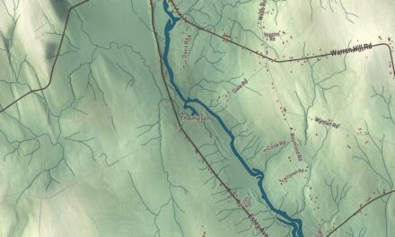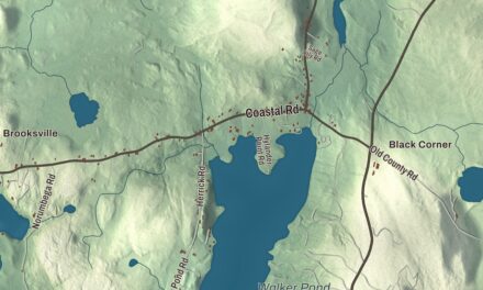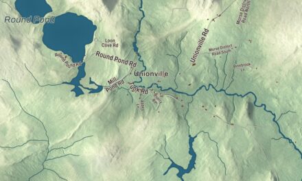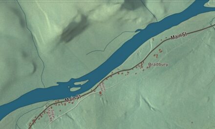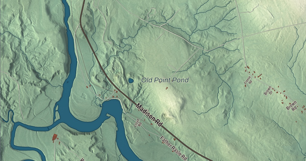
Mercer Road, Madison Road and Skowhegan Road lead into Norridgewock village on this map, with the Kennebec River running through town. Click here to purchase a print of this map for your wall.
Norridgewock is a town in Somerset County.
KNOWOL made this map in 2026 from public survey records, United States Geological Survey elevation data and Census Bureau files. Its atlas layout brings together Norridgewock’s roads, buildings, ponds and waterways, and terrain, the town boundary and the pattern of buildings.
On the Kennebec
The land along the Kennebec was once territory of the Norridgewock, a band of the Abenaki nation, whose village stood at Old Point, now part of Madison. British settlers came in 1773 to what was called Norridgewock Plantation, and in 1775 Benedict Arnold and his troops marched through on their way to the Battle of Quebec. The town was incorporated on June 18, 1788, and it was the county seat of Somerset County from 1809, with a courthouse built in 1820, until the seat moved to Skowhegan in 1871.
Logs were floated down the Kennebec, and a sawmill turned the region’s hardwoods into lumber for local carriage and furniture factories; the town also had a gristmill and granite works. The Norridgewock Covered Bridge, built across the Kennebec in 1849 and replaced in 1929, was 600 feet long, the second longest covered bridge in Maine after the 792-foot bridge at Bangor.
Academies and Sophie May
Mercer Road holds two of the village’s old schools. The Norridgewock Female Academy, founded in 1837, used its brick Greek Revival building with a temple portico until 1860, and since 1994 the Norridgewock Historical Society has kept its museum there. Next door stands the Second Empire Eaton School, put up in the late 1860s for Hamilton Fairfield Eaton’s school and the local Masonic lodge as an early design of the architect Charles F. Douglas; the Grange has owned it since 1916. Douglas also designed an Italianate house for his own family in Norridgewock in 1868, with a three-story square tower.
Rebecca Sophia Clarke, born in Norridgewock in 1833 and a student at the Female Academy, wrote 45 books as “Sophie May,” the most popular being the Little Prudy series. From 1861 until her death in 1906 she lived in the brick Greek Revival house on Sophie May Lane that Cullen Sawtelle, who represented the area in Congress, built in 1845. In 1903 she gave the town the 1841 brick building at Sophie May Lane and Madison Road for a library, and it’s now a branch of the Norridgewock Free Public Library, which traces its start to a lending society of 1810.
Nathan Haskell Dole, the editor and translator, grew up in Norridgewock and studied at the Eaton School. Charles G. Sawtelle, Cullen’s son, was born here in 1834 and became a brigadier general in the U.S. Army.
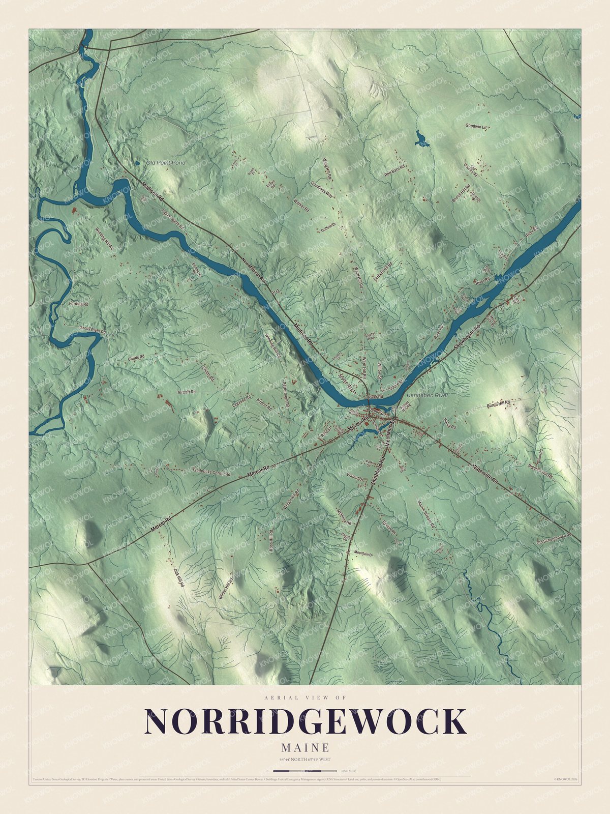
Click to explore a larger preview. The digital watermark does not appear on printed maps.
See it on a wall
The Norridgewock map as a framed print. Swipe for more.


Explore the Norridgewock map
Start with Smithfield Road, then follow Skowhegan Road, Mechanic Street, Waterville Road, Mercer Road and Madison Road across town. All of those names are printed on the artwork.
Old Point Pond and the Kennebec River are labeled as well. Find Mercer Road for the two old school buildings, then follow Madison Road toward Sophie May Lane and the river.
For people who call Norridgewock home, this map shows the town as it looks today. Put it in your office, library, or den, or use it to teach children the geography and history of the area. Zoom in on the preview above to explore the details, then click here to get your copy of the Norridgewock, Maine map.

Sources
- Norridgewock, Maine, Wikipedia
- Norridgewock Female Academy, Wikipedia
- Eaton School (Norridgewock, Maine), Wikipedia
- C. F. Douglas House, Wikipedia
- Rebecca Sophia Clarke, Wikipedia
- Sophie May House, Wikipedia
- Norridgewock Free Public Library, Wikipedia
- Nathan Haskell Dole, Wikipedia
- Charles G. Sawtelle, Wikipedia