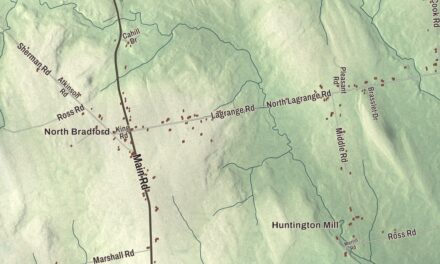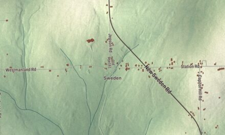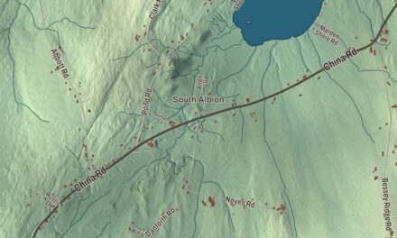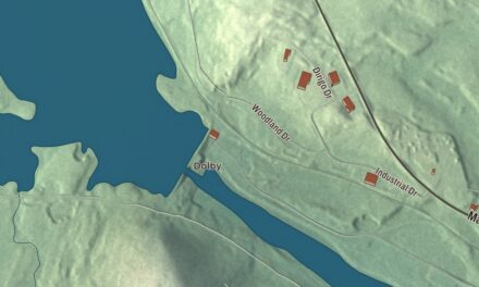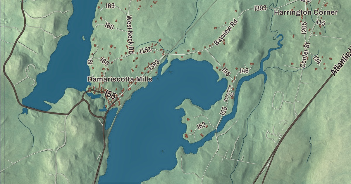
Damariscotta Lake, East Pond Road and Atlantic Highway frame this map of Nobleboro, with Damariscotta Mills at the lake’s southern tip. Click here to purchase a print of this map for your wall.
Nobleboro is a town in Lincoln County.
KNOWOL made this map in 2026 from public survey records, United States Geological Survey elevation data and Census Bureau files. Its atlas layout brings together Nobleboro’s roads, buildings, ponds and waterways, and terrain, the town boundary and the pattern of buildings.
Named for Arthur Noble’s son
Nobleboro was founded in 1788 and is named for Arthur Noble’s son, Arthur II. In the 1730s part of Nobleboro was among the Pemaquid Patent lands that Shem Drowne said were his, along with Bristol, Bremen, Damariscotta and part of Newcastle; the patent itself dates to 1631. On August 7, 1823, Nobleboro saw Maine’s first recorded meteorite fall. People who heard it at first took it for musket fire, and the meteorite is now kept at the Buseck Center for Meteorite Studies at Arizona State University.
Damariscotta Lake, which covers 4,300 acres, reaches into Jefferson, Nobleboro and Newcastle. It’s known for its yearly run of alewives and for the dam and fish ladder built in 1807 at Damariscotta Mills, at the lake’s southern tip. Pemaquid Pond is the town’s other notable lake, and water makes up 4.18 of Nobleboro’s 23.11 square miles. U.S. Route 1 serves the town, and the Rockland Branch Railroad passes through it.
Chimney Farm
On East Neck, a peninsula between two lobes of Damariscotta Lake, stands Chimney Farm, at 617 East Neck Road. The writers Henry Beston and Elizabeth Coatsworth, married in 1929, bought its early 19th-century farmhouse in 1931 and lived there for the rest of their lives, and both are buried in the small family cemetery on the property. Coatsworth won the Newbery Medal in 1931 for The Cat Who Went to Heaven. Beston’s The Outermost House, a work of nature writing, is said to have had a major influence on Rachel Carson, and he wrote Northern Farm while living in Maine. Pieces of Chimney Farm turn up in the writing of both.
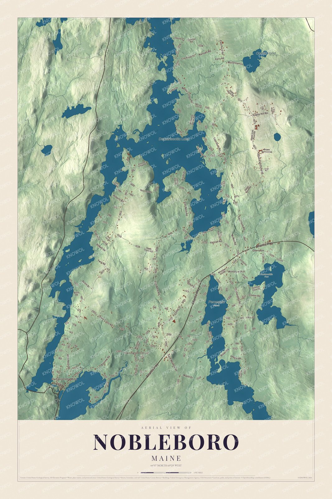
Click to explore a larger preview. The digital watermark does not appear on printed maps.
See it on a wall
The Nobleboro map as a framed print. Swipe for more.


Explore the Nobleboro map
Start with Damariscotta Mills and Harrington Corner, then follow Atlantic Highway, Upper East Pond Road, Moody’s Island Road, Eugley Hill Road, Vannah Road and East Pond Road across town. Those are printed names, and Glendon and Winslow Hill sit farther out.
Damariscotta Lake and Cooks Pond are labeled as well. Follow the lakeshore north from Damariscotta Mills and find the necks of land that divide the lake into lobes.
For people who call Nobleboro home, this map shows the town as it looks today. Put it in your office, library, or den, or use it to teach children the geography and history of the area. Zoom in on the preview above to explore the details, then click here to get your copy of the Nobleboro, Maine map.

Sources