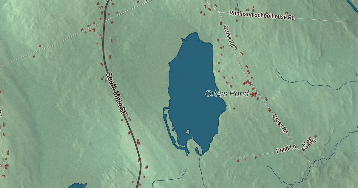
North Main Street and South Main Street carry you through the village on this map of Morrill, with Cross Pond and Dolliff Pond close at hand. Click here to purchase a print of this map for your wall.
Morrill is a town in Waldo County.
KNOWOL made this map in 2026 from public survey records, United States Geological Survey elevation data and Census Bureau files. Its atlas layout brings together Morrill’s roads, buildings, ponds and waterways, and terrain, the town boundary and the pattern of buildings.
Named for a governor
Morrill was incorporated on March 3, 1855, and named in honor of Anson P. Morrill, then governor of the state. James Weymouth, Benjamin Smith, Joseph Corning and Nathaniel Cushman made the first settlements in 1801 and 1802, buying their land from General Henry Knox, proprietor under the Waldo Patent. Anson Morrill, born in Belgrade in 1803, served as governor from 1855 to 1856, then went on to Congress and later served as president of the Maine Central Railroad.
Morrill lies in the central part of Waldo County, west of Belfast. Its surface is uneven, but with very little waste land, and Morey and Rowe hills are probably its highest points, though neither is very high. In the 1800s hay and potatoes were the chief crops. The main water power was at the village on the Passagassawakeag Stream, where shingle and stave mills and a horse-rake factory worked, and the Grange’s building served as the town hall. The town had 523 people in 1870 and 494 in 1880, and the 2020 census counted 971.
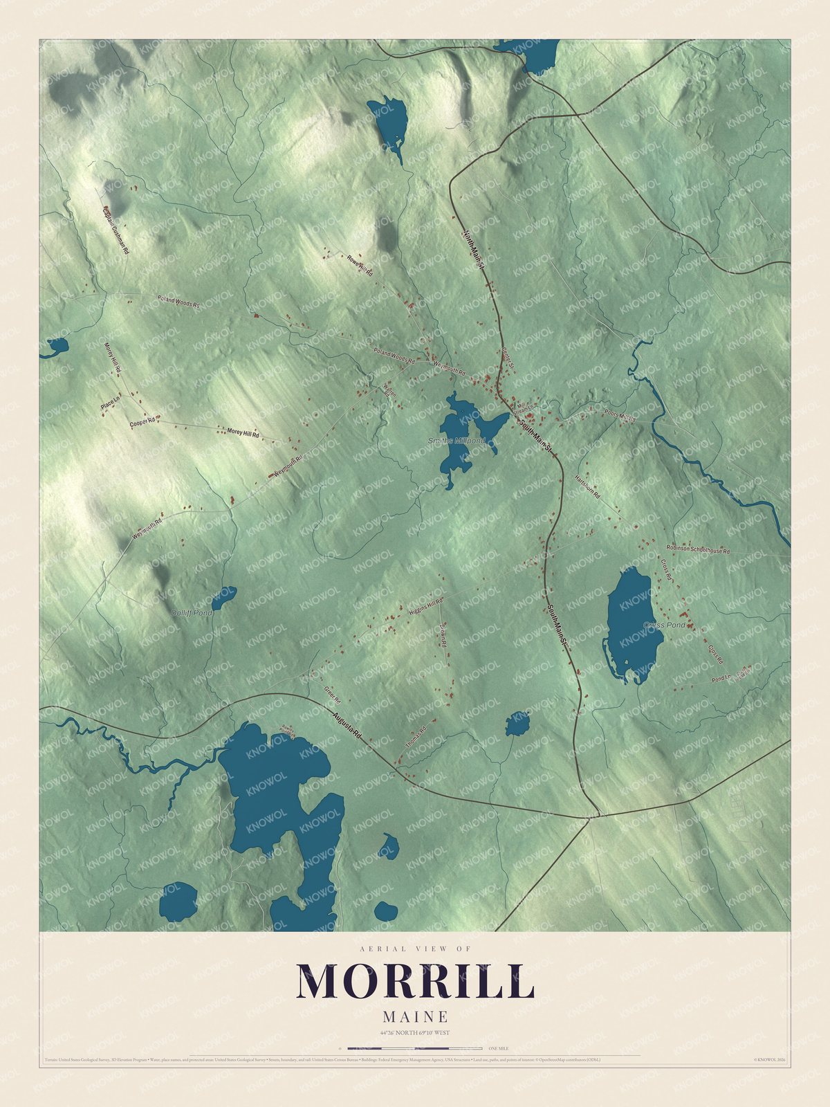
Click to explore a larger preview. The digital watermark does not appear on printed maps.
See it on a wall
The Morrill map as a framed print. Swipe for more.


Explore the Morrill map
Start with North Main Street, then follow South Main Street, Augusta Road, Rowe Hill Road, Weymouth Road and Robinson Schoolhouse Road across town. Those are printed names on the artwork.
Cross Pond and Dolliff Pond are labeled too. Compare the village buildings with the farms and woods that spread toward the town lines.
For people who call Morrill home, this map shows the town as it looks today. Put it in your office, library, or den, or use it to teach children the geography and history of the area. Zoom in on the preview above to explore the details, then click here to get your copy of the Morrill, Maine map.

Sources