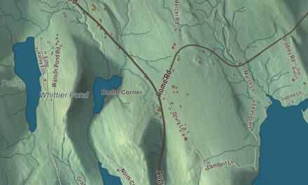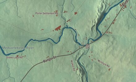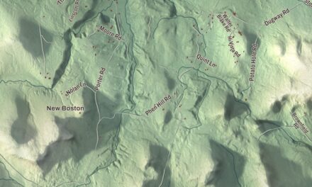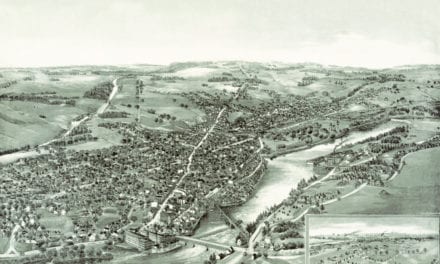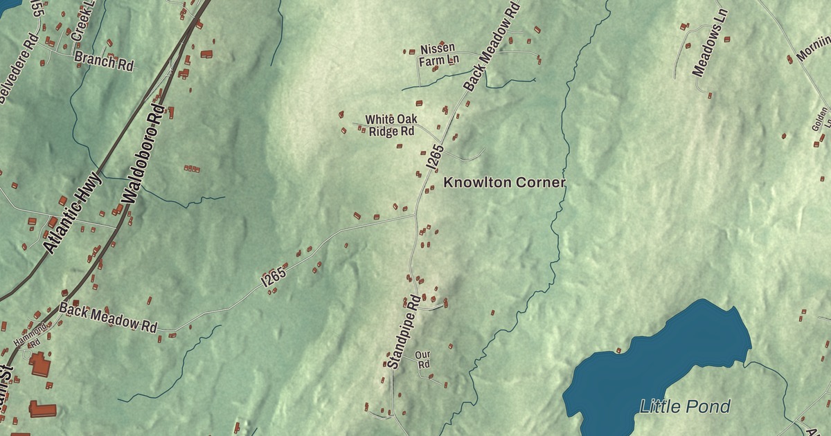
Main Street and Bristol Road meet at the east end of downtown on this map of Damariscotta, Maine. Atlantic Highway, Waldoboro Road, Twin Cove Lane, Belvedere Road and Knowlton Corner fill in the rest of town. Pemaquid Pond, Muddy Pond and Little Pond are on the sheet too. Click here to purchase a print of this map for your wall.
Damariscotta is a town in Lincoln County, with 2,297 people at the 2020 census.
KNOWOL made this map in 2026 from public survey data and gave it the look of an old atlas. The Census Bureau measures the town at 14.71 square miles, 2.29 of them water, and its files give the roads and the town line. United States Geological Survey elevation data shades the land, which rises to 350 feet at Hunt Hill, the town’s highest point.
A river of many fish
Damariscotta sits at the head of navigation on the Damariscotta River, a tidal estuary of the Gulf of Maine, and the Main Street bridge links it to Newcastle across the water; together they’re called the Twin Villages. There are at least two claims about the name. The one the town’s page gives first traces it to an Algonquian word, Madamescontee, meaning a place with plenty of alewives, the small fish that spawn in Damariscotta Lake; the river’s page translates the old Abenaki word as “river of many fishes.”
Long before any town, people gathered oysters along this river and left their shells in great heaps. The Whaleback Shell Midden, on the east bank, is a state historic site today, and Maine’s indigenous people describe middens like it as landmarks that mark thousands of years of living in one place. Much of the Whaleback was hauled away and ground into chicken feed between 1886 and 1891, and the Glidden midden across the river in Newcastle is now the largest in Maine. Today the river is home to 80% of the farmed oysters produced in Maine, and the Great Salt Bay on the river was the state’s first marine protected area.
Shipyards and brick
Colonists came upriver from the village at Pemaquid about 1640, but the Chapman-Hall House page dates lasting settlement to 1748. Nathaniel Chapman, a housewright from Ipswich, Massachusetts, came at his half-brother Anthony’s urging to build houses for the settlers, and his own Cape, built in 1754 at the east end of Main Street, is the oldest standing house in town and one of the oldest in the state. Local people saved it from demolition in 1960, and the Lincoln County Historical Association has run it as a museum since 2008.
Early industries included two sawmills, a match factory and a tannery, and brickyards along the river supplied much of the brick for Boston’s Back Bay. Shipbuilding brought the town wealth in the 1800s, when clipper ships were launched from its shipyards. Matthew Cottrill, an Irish immigrant, and his partner James Kavanagh ran mills, shipyards and ships on the river, and Cottrill’s Federal house at 60 Main Street was built for him in 1801 by Nicholas Codd, the builder of St. Patrick’s Catholic Church in Damariscotta Mills, which its page calls the oldest Catholic church in the state. A fire in 1845 destroyed most of downtown, and it was rebuilt in brick and wood; the Main Street Historic District, on the National Register since 1979, keeps that rebuilt downtown. Damariscotta was incorporated on March 15, 1848, set off from parts of Bristol and Nobleboro, and the new town’s first organizational meeting was held in the Baptist church at the corner of Main Street and Bristol Road.
The Skidompha library
The Skidompha Public Library, serving Damariscotta, Newcastle and Nobleboro, began in 1905 above a grocery store on Main Street. Its name is made from letters in the names of its founding club members, from Ellie Stetson’s S to Jennie Ames’s A. From 1922 to 2001 it filled the Stephen Coffin House, a Federal house at 170 Main Street, before moving into its new building next door. In 2008 it received the National Medal for Museum and Library Service, one of just five libraries in the country chosen that year. The children’s author and illustrator Barbara Cooney, who won the Caldecott Medal in 1959 for Chanticleer and the Fox, made her home in Damariscotta.
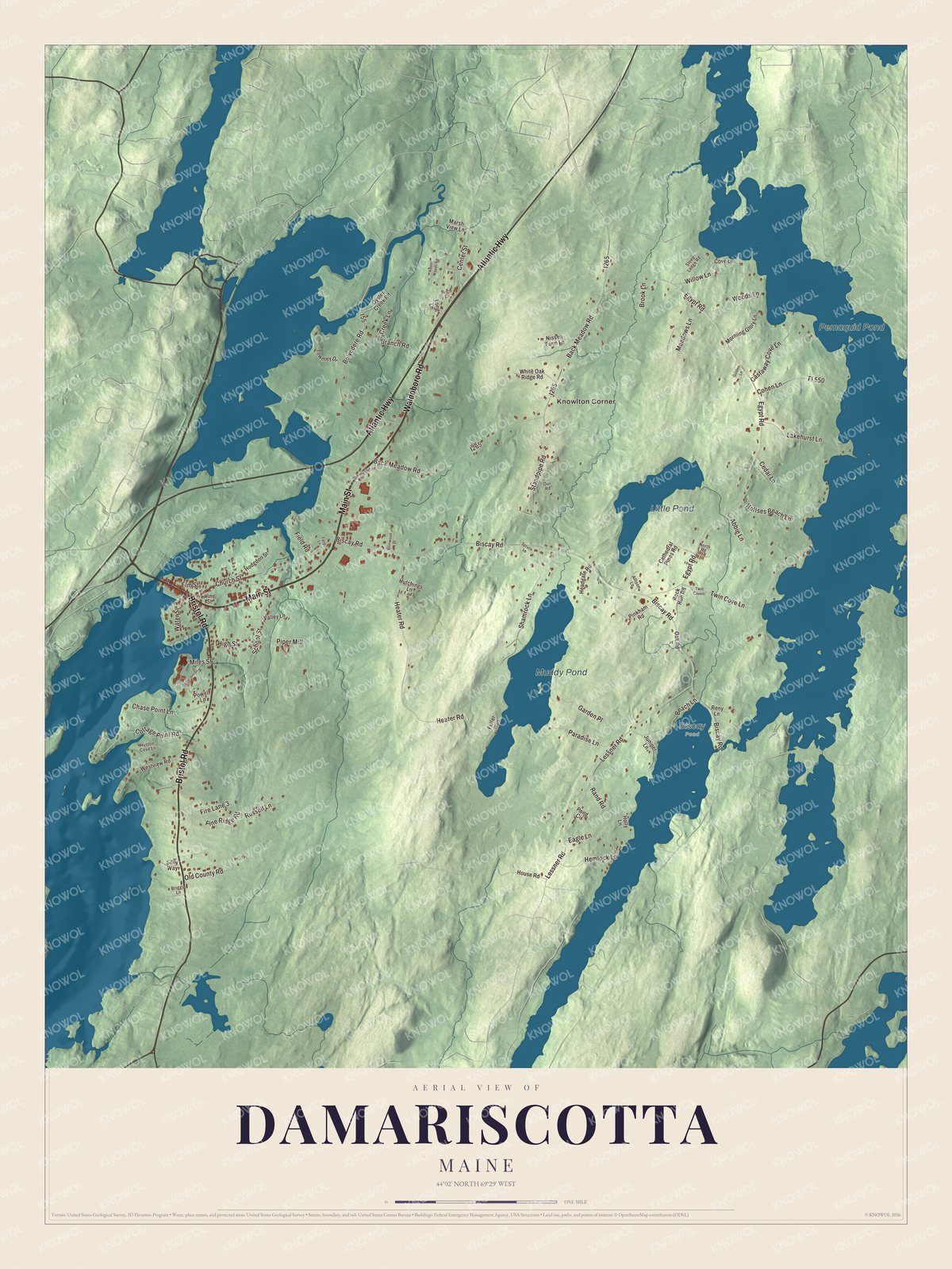
Click to explore a larger preview. The digital watermark does not appear on printed maps.
See it on a wall
The Damariscotta map as a framed print. Swipe for more.


Around town
Main Street is printed on the map, and so are Bristol Road and Waldoboro Road. Atlantic Highway, Twin Cove Lane and Belvedere Road are printed too, and Knowlton Corner is printed along the way. Pemaquid Pond, Muddy Pond and Little Pond are labeled on the map.
This Damariscotta map makes a fine addition to an office, library or den, and it can help teach children the geography and history of the area. It’s made for everyone who calls Damariscotta home, from Main Street to Pemaquid Pond, as it looks today. Zoom in on the preview above to explore the details, then click here to get your copy of the Damariscotta, Maine map.

Sources
- Damariscotta, Maine, Wikipedia
- Damariscotta River, Wikipedia
- Whaleback Shell Midden, Wikipedia
- Chapman-Hall House, Wikipedia
- Matthew Cottrill House, Wikipedia
- Main Street Historic District (Damariscotta, Maine), Wikipedia
- Damariscotta Baptist Church, Wikipedia
- Skidompha Public Library, Wikipedia
- Stephen Coffin House, Wikipedia
- Barbara Cooney, Wikipedia