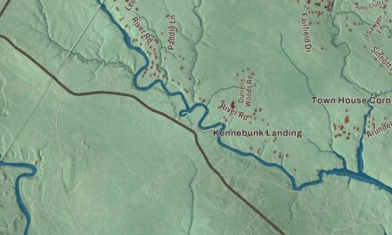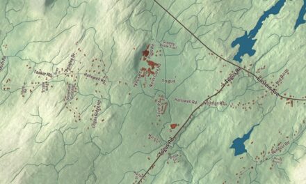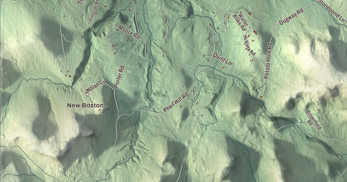
On this map of Brownfield you’ll find New Boston and West Brownfield, then Merrill Corner and East Brownfield. Main Street, Spring Street, Denmark Road, River Road, Center Conway Road and Pequawket Trail are printed on it, and so are Pequawket Pond and Burnt Meadow Pond. Click here to purchase a print of this map for your wall.
Brownfield is a town in Oxford County, and 1,631 people lived here at the 2020 census.
KNOWOL made this map in 2026 from public survey data and gave it the look of an old atlas. Its hills are shaded from United States Geological Survey elevation data, and its roads and town line come from the Census Bureau, which counts 45.45 square miles in Brownfield, 0.98 of them water. The town lies beside the New Hampshire border, and the Saco River drains it.
Captain Brown’s grant
This was once the country of the Pequawket Abenaki, whose main village stood where Fryeburg is today. On January 23, 1764, the Massachusetts General Court granted the land to Captain Henry Young Brown for his service in the French and Indian Wars, on the condition that he settle 38 families by June 10, 1770, and bring in a minister within three years after that. Settlement began about 1765. Part of the grant turned out to lie in New Hampshire, and in 1766 Brown received replacement land in Maine, called Brownfield Addition, part of which is now in Hiram and Denmark. The township was organized as Brownfield Plantation, named for its main proprietor, and Brownfield dates to 1802, when it was incorporated on February 20. By the War of 1812 nearly 900 people lived here.
Farming was the main work, and the Saco River turned the mills, which made flour, long lumber, barrel staves, rocking chairs, clothing, carriages, sleighs and harness. After the Civil War the Portland and Ogdensburg Railroad came through, following the river. The Great Fires of 1947 destroyed 85 percent of the town, and a ski area on Burnt Meadow Mountain was proposed to bring back business. It opened in 1971 with a 3,400-foot T-bar lift, was renamed Zodiac Skiway in 1980 and closed in 1982.
Born here, or at home here
Paris Gibson was born in Brownfield in 1830. After building a woolen mill in Minnesota, he went west, saw the power in the Great Falls of the Missouri River and founded the city of Great Falls, Montana, in 1883, serving as its mayor; he later represented Montana in the United States Senate. Joseph Howard, born here in 1800, sat on the Maine Supreme Judicial Court from 1848 to 1855 and became mayor of Portland in 1860, and he died in Brownfield. The brothers Rufus King Goodenow and Robert Goodenow came to Brownfield with their parents in 1802 and both went on to serve Maine in Congress. The financier Augustus G. Paine Sr. was born here in 1839.
Mary Ann Brown served with her husband, Ivory, in the 31st Maine Infantry in the Civil War, likely enlisting as a nurse and, by her own account, carrying a musket. She said she joined because “slavery was an awful thing and we were determined to fight it down.” After the war the couple worked a small farm in Brownfield for nearly forty years, and in 2017 a headstone for her was placed beside his in the Brownfield Pine Grove Cemetery. Philo Farnsworth, who received the first patent for television, lived in Brownfield for a time, and several buildings and streets around town carry his name.
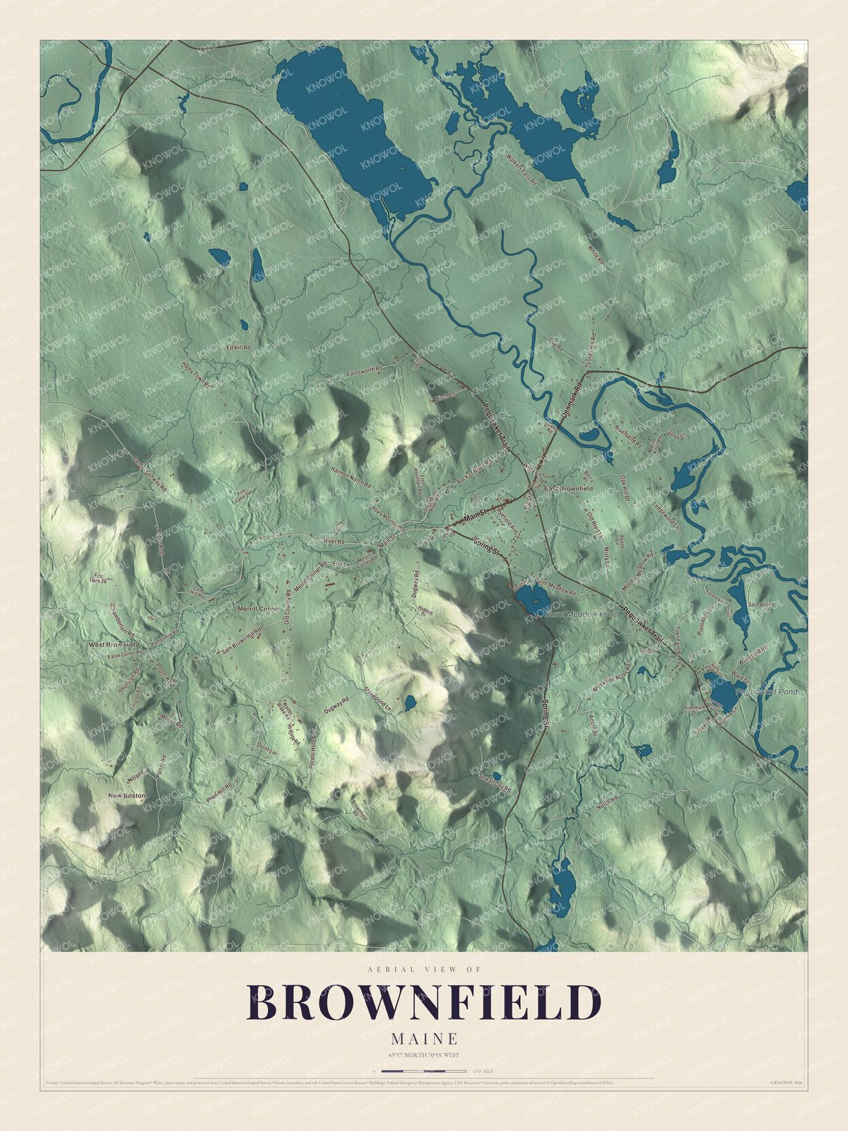
Click to explore a larger preview. The digital watermark does not appear on printed maps.
See it on a wall
The Brownfield map as a framed print. Swipe for more.


The river and the roads
River Road is printed on the map. The Saco is a popular recreational river, and its page says 3,000 to 7,000 people a summer weekend take to it, mostly on the stretch from Swan’s Falls down to Brownfield. The town is also home to the Stone Mountain Arts Center, a small performance hall in the foothills of the White Mountains that the singer and songwriter Carol Noonan runs with her husband, Jeff Flagg, behind their house. Richie Havens, the Indigo Girls and Tom Rush have all played there.
New Boston and West Brownfield are printed on the map, and so are Merrill Corner and East Brownfield. Main Street, Spring Street, Denmark Road, Center Conway Road and Pequawket Trail are printed too, along with Pequawket Pond and Burnt Meadow Pond. Pequawket Trail and Pequawket Pond share the name of the Abenaki people who lived here.
This Brownfield map makes a handsome addition to an office, library or den, and it can teach children the geography and history of a Saco River town. It’s made for anyone who calls Brownfield home, from New Boston to East Brownfield, as it looks today. Zoom in on the preview above to explore the details, then click here to get your copy of the Brownfield, Maine map.

Sources
- Brownfield, Maine, Wikipedia
- Paris Gibson, Wikipedia
- Joseph Howard (judge), Wikipedia
- Rufus K. Goodenow, Wikipedia
- Robert Goodenow, Wikipedia
- Augustus G. Paine Sr., Wikipedia
- Mary Brown (nurse), Wikipedia
- Philo Farnsworth, Wikipedia
- Saco River, Wikipedia
- Stone Mountain Arts Center, Wikipedia
- Carol Noonan, Wikipedia