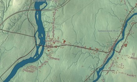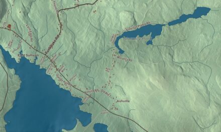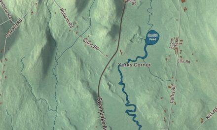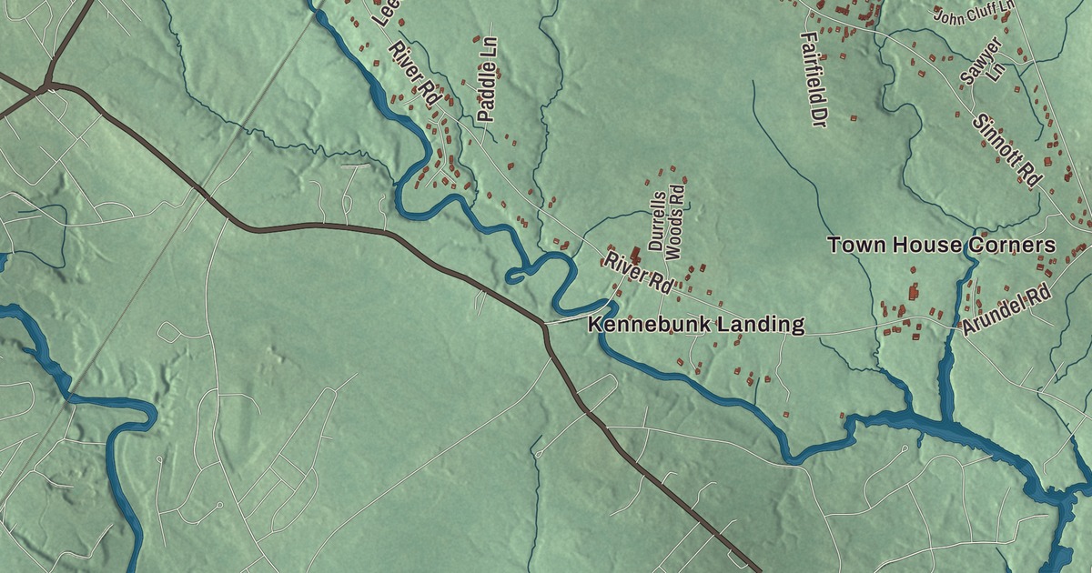
Arundel is the inland town just up the Kennebunk River from the coast, and most people from here can find their way by Portland Road, Alfred Street, Limerick Road and Log Cabin Road. This map prints those roads with Sinnott Road and Curtis Road, Kennebunk Landing, Millers Crossing and Town House Corners, and two ponds, Brimstone Pond and Davis Pond. Click here to purchase a print of this map for your wall.
Arundel is in York County, and it had 4,264 people at the 2020 census.
KNOWOL made this map in 2026 from public survey data and gave it the look of an old atlas. The shaded terrain comes from United States Geological Survey elevation data, and the roads and the town line come from the Census Bureau, which counts 23.90 square miles here, nearly all of it land. Interstate 95, U.S. Route 1 and state routes 35 and 111 cross the town. Kennebunkport lies to the southeast, Kennebunk to the southwest, Lyman to the northwest, Dayton to the north and Biddeford to the northeast.
A town that took back an old name
For most of its history this was the back country of Kennebunkport. That coastal town was first incorporated as Cape Porpoise in 1653, was abandoned during the wars of the late 1600s and early 1700s, and was resettled in 1719, the year this map’s older article gives for Arundel. The town itself carried the name Arundel for about a century, after the town of Arundel in West Sussex, England, before it became Kennebunkport in the early 1820s.
The inland part stayed with Kennebunkport until 1915, when they were set off as a town of their own called North Kennebunkport. In 1957, following the publication of Kenneth Roberts’s Chronicles of Arundel, the state legislature renamed it Arundel, for Lord Arundel. Roberts was born in Kennebunk and lived in Kennebunkport, and his novel Arundel of 1929 follows characters from the old town of that name on Benedict Arnold’s march to Quebec in the Revolution. Its sequel, Rabble in Arms, came out in 1933. Two months before he died in 1957, Roberts received a special Pulitzer Prize citation for historical novels that had long built interest in early American history.
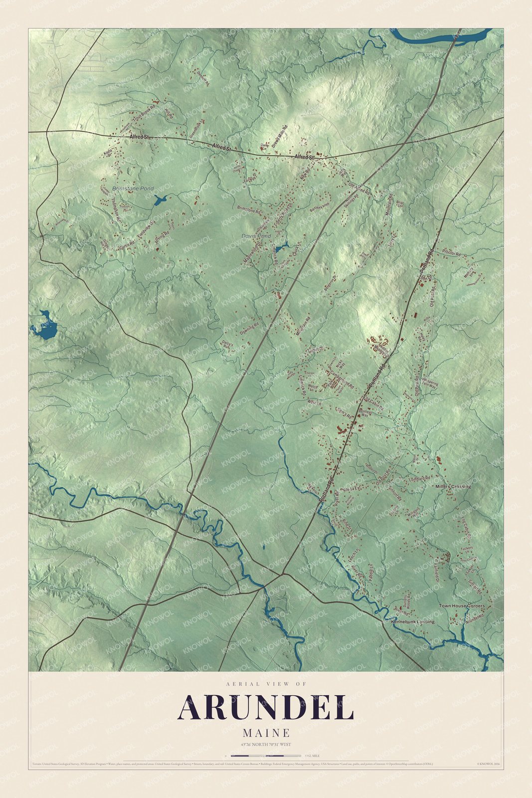
Click to explore a larger preview. The digital watermark does not appear on printed maps.
See it on a wall
The Arundel map as a framed print. Swipe for more.


Crossings and corners
The town page lists its neighborhoods: Arundel Village, Vinegar Hill, Riverside Arundel, Log Cabin Crossing, Goff Mill, Millers Crossing and Cottagehill. Millers Crossing is printed on the map, and so is Log Cabin Road. Kennebunk Landing and Town House Corners are printed as well. Kennebunkport’s town page lists North Village Crossing, or Townhouse Corner, among its own villages. The Kennebunk River rises in Lyman and drains Arundel on its way southeast, passing under Interstate 95 and Route 1 before it becomes navigable at Kennebunkport’s town center.
Arundel’s children go to the Mildred L. Day School from kindergarten through fifth grade, and the town is part of the RSU 21 school district with Kennebunk and Kennebunkport. Before it joined, Arundel paid tuition for students who chose Thornton Academy, and when the district challenged that choice, a three-year court fight followed. The Maine Supreme Judicial Court’s ruling of July 18, 2019, kept the Thornton Academy option in place. In 2014 Downeast Magazine named Arundel the “Best Place to Live in Maine,” and the town’s motto is “Where People Matter.”
This Arundel map makes a handsome addition to an office, library or den, and it can teach children the geography and history of a young town with an old name. It’s made for anyone who calls Arundel home, from Millers Crossing to Brimstone Pond, as it looks today. Zoom in on the preview above to explore the details, then click here to get your copy of the Arundel, Maine map.

Sources