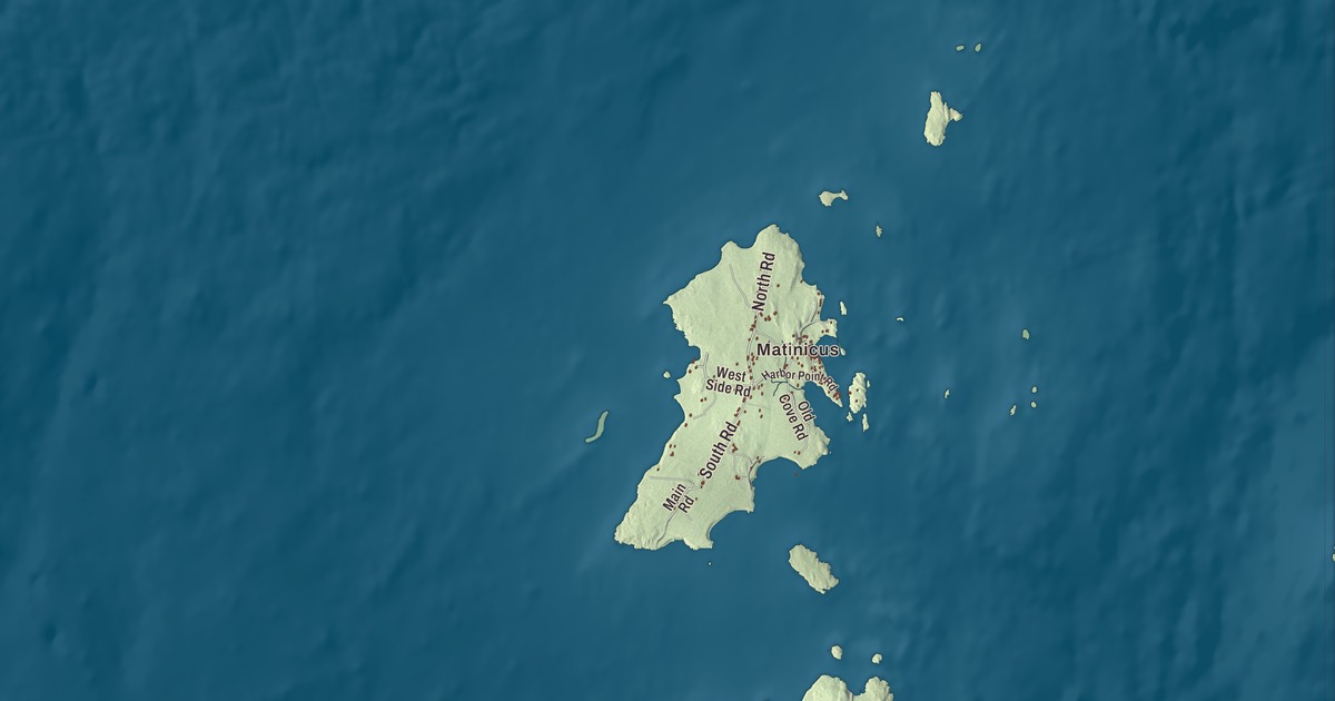
Islanders know North Road, South Road and Harbor Point Road by heart, and this map lays them out across Matinicus with the Atlantic Ocean all around. Click here to purchase a print of this map for your wall.
Matinicus Isle is a plantation in Knox County.
KNOWOL made this map in 2026 from public survey records, United States Geological Survey elevation data and Census Bureau files. Its atlas layout brings together Matinicus Isle’s streets, buildings, coastline and terrain, the plantation boundary and the pattern of buildings.
An island community far out in Penobscot Bay
Matinicus Isle sits in Penobscot Bay about 20 miles east of the mainland coast, and people reach it by state ferry from Rockland or by air taxi from Knox County Regional Airport. It’s a year-round island community and a summer colony at the same time.
Fishermen knew the island early. John Josselyn’s 1671 account of New England lists Matinicus among the places filled with dwelling houses and stages for fishermen. Ebenezer Hall became the first permanent settler in 1750, building a house and taking up fishing and farming with his family. The Penobscot people still used the islands for fishing and sealing then, and they twice wrote to royal authorities in Boston to complain about him. More families arrived in the decades that followed, and on October 22, 1840, the island was organized as a plantation.
Lobster boats and neighbors at sea
Cod, mackerel and herring gradually gave way to lobster, which remains the island’s main industry. Islanders have also served as first responders on the bay. In 1992 they rescued the three crew members of the sinking tugboat O.A. Harkness, and in 2011 island fishermen pulled four people from the water after their plane ditched off Matinicus.
The Congregational Church of Matinicus, built in 1906, holds Sunday services in summer and doubles as a community hall. The island’s library, founded in 2016, is run by volunteers.
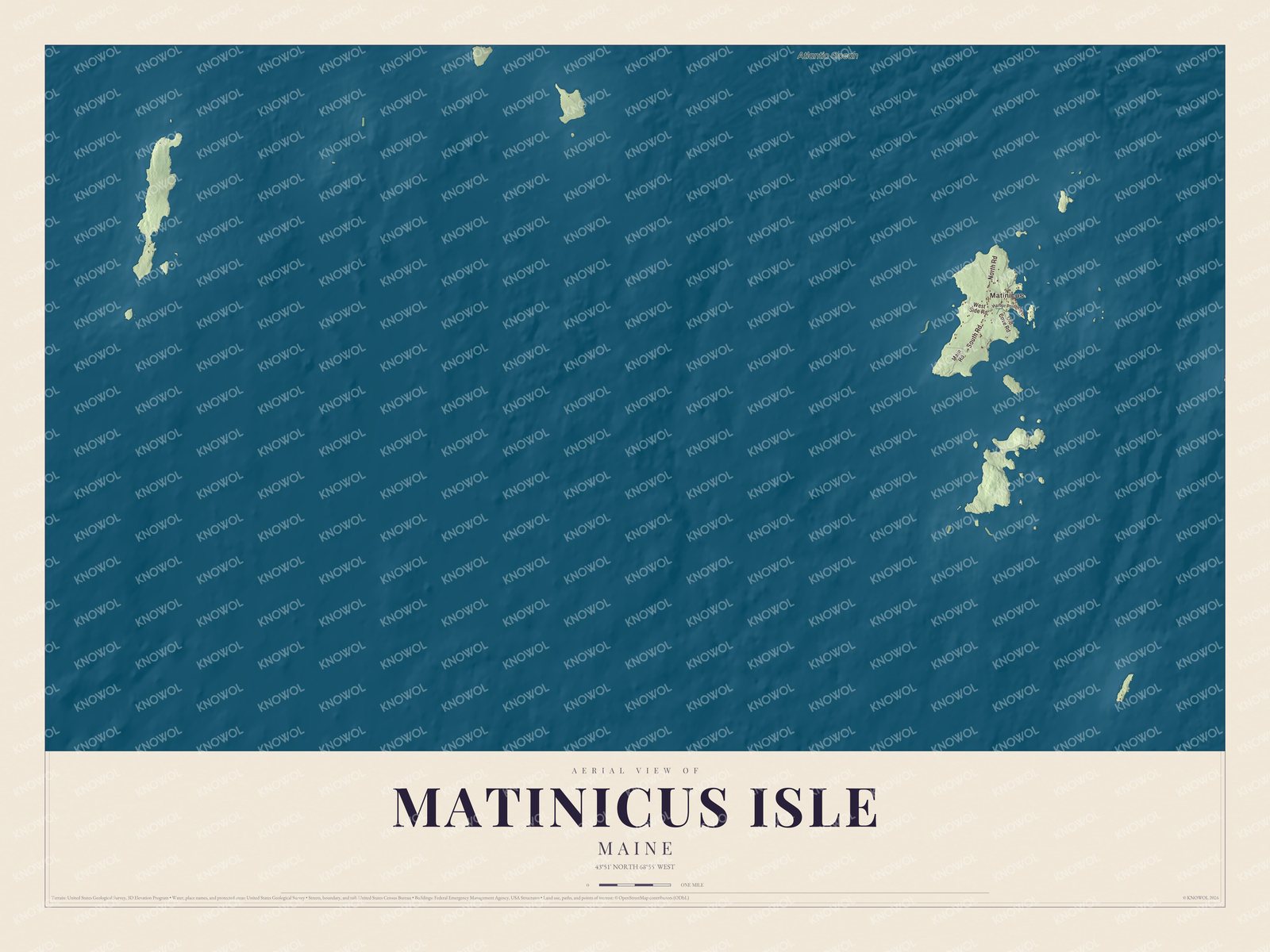
Click to explore a larger preview. The digital watermark does not appear on printed maps.
Names on this map
These names are printed on this map.
Places: Matinicus and Atlantic Ocean.
Streets and roads: North Road, South Road, West Side Road, Old Cove Road, Main Road and Harbor Point Road.
See it on a wall
The Matinicus Isle map as a framed print. Swipe for more.


Explore the Matinicus Isle map
Start with Matinicus, then follow North Road, South Road, West Side Road, Old Cove Road, Main Road and Harbor Point Road across the plantation. Those road names are printed on the artwork, and the Atlantic Ocean is labeled around them.
Trace the shoreline from road to road and compare the buildings near the harbor with the open ground inland. Enlarge the preview to find the coves and lanes you know.
For people who call Matinicus Isle home, this map shows the plantation as it looks today. Put it in your office, library, or den, or use it to teach children the geography and history of the area. Zoom in on the preview above to explore the details, then click here to get your copy of the Matinicus Isle, Maine map.

Sources