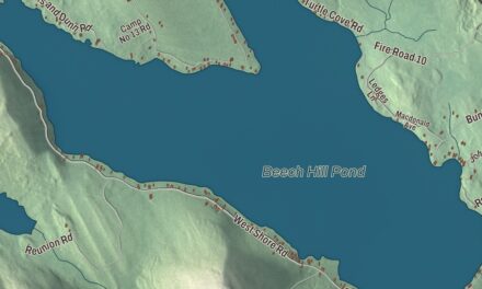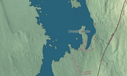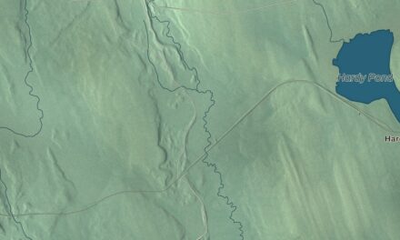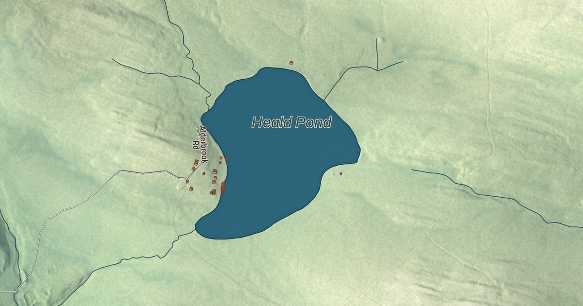
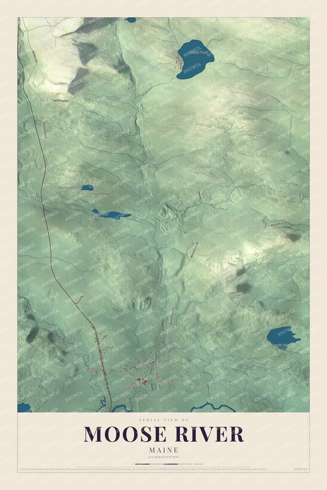
Main Street and Canada Road lead through Moose River on this map, with Heald Pond, Supply Pond and Coburn Pond in the woods nearby. Click here to purchase a print of this map for your wall.
Moose River is a town in Somerset County.
KNOWOL made this map in 2026 from public survey records, United States Geological Survey elevation data and Census Bureau files. Its atlas layout brings together Moose River’s roads, buildings, ponds and waterways, and terrain, the town boundary and the pattern of buildings.
An inn for the cattle drives
Capt. Samuel Holden was the first settler of Moose River. In 1820 he opened an inn here as a stop for cattle drivers on the way from Boston to Quebec. The river the town is named for runs 83 miles from its source on the Canadian border, east through Attean Pond and Wood Pond, past the town of Moose River and on into Moosehead Lake, the source of the Kennebec. The International Railway of Maine was built along the river in 1889.
Moose River was incorporated as a town in 1957. The town covers 40.55 square miles, 0.48 of them water, and the 2020 census counted 188 residents.
Click to explore a larger preview. The digital watermark does not appear on printed maps.
See it on a wall
The Moose River map as a framed print. Swipe for more.


Explore the Moose River map
Start with Main Street, then follow Canada Road, Heald Stream Road, Moose River Road, Heald Pond Road and Daymond Pd Road across town. Each of those names is printed on the artwork.
Heald Pond, Supply Pond, Coburn Pond and Daymond Pond are labeled too. Compare the buildings along Main Street with the woods and ponds around them.
For people who call Moose River home, this map shows the town as it looks today. Put it in your office, library, or den, or use it to teach children the geography and history of the area. Zoom in on the preview above to explore the details, then click here to get your copy of the Moose River, Maine map.

Sources