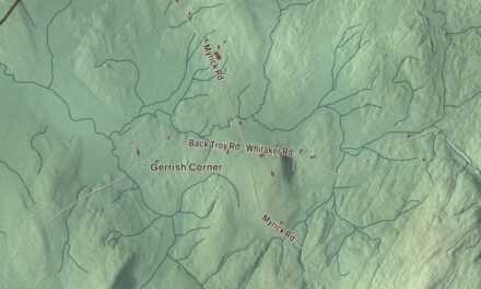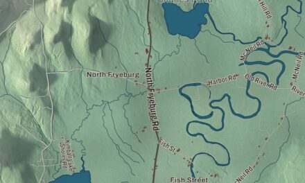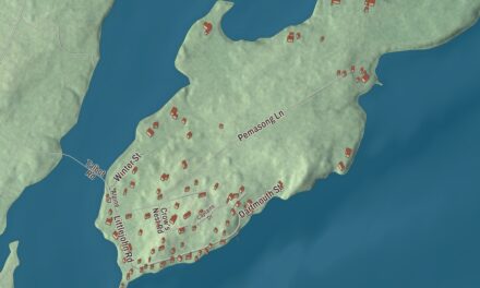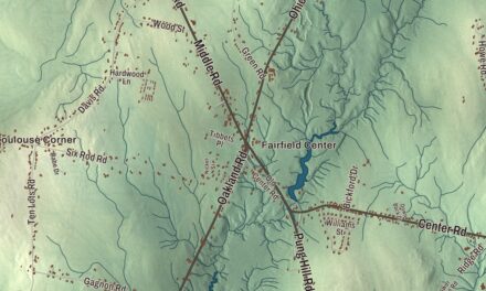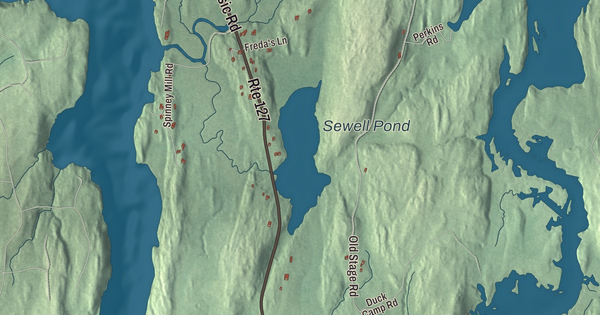
Arrowsic is an island town, set between the Kennebec River, the Sasanoa River and the Back River. This map prints its roads, Arrowsic Road, Hill Road, Old Stage Road, Bald Head Road, Whitmore’s Landing Road and Parshley Road, and Sewell Pond. Click here to purchase a print of this map for your wall.
Arrowsic is in Sagadahoc County, and it had 477 people at the 2020 census.
KNOWOL made this map in 2026 from public survey data and gave it the look of an old atlas. The shaded terrain comes from United States Geological Survey elevation data, and the roads and the town line come from the Census Bureau, which counts 10.79 square miles in town, 3.04 of them water. Maine State Route 127 serves the island, and across the water lie Woolwich, Westport, Georgetown, Phippsburg and Bath.
The place of obstruction
The Abenaki called the island Arrowseag, “place of obstruction,” for Upper Hell Gate on the Sasanoa River, a stretch choked with boulders and ledges until the Army Corps of Engineers widened it in 1898 and 1908. In 1649 John Richards bought the island from the sachem Mowhotiwormet, known as Chief Robinhood, and Richards sold it in 1654 to Major Thomas Clarke and Roger Spencer, whose share passed in 1657 to Captain Thomas Lake. Clarke and Lake were Boston merchants, and at Spring Cove, on the island’s northeast corner, they built a stockaded trading post, and around it came pasture, a warehouse, a sawmill and a gristmill, a bake house, a blacksmith shop, a cooperage and a shipyard, with a large dwelling called the Mansion House. The village became the area’s court of law and the seat of its general council. It was destroyed in 1676, during King Philip’s War, and what’s left is now the Clarke and Lake Company Archeological Site, where digs in the 1960s and 1970s also turned up prehistoric artifacts more than 10,000 years old.
Settlers came back, and in 1716 the town was incorporated as Georgetown-on-Arrowsic, named for King George I. In August 1717 Massachusetts Governor Samuel Shute and Samuel Penhallow, commander of Fort Menaskoux, held a two-day conference on Arrowsic with delegates of several tribes, who came in a flotilla of canoes and camped on Lee Island across the water. The town page tells how the governor’s boat, the Squirrel, ran aground on the point that’s been called Squirrel Point ever since, and the tribal delegates all helped get it free. On February 17, 1841, Arrowsic Island was set off from Georgetown as a town of its own.
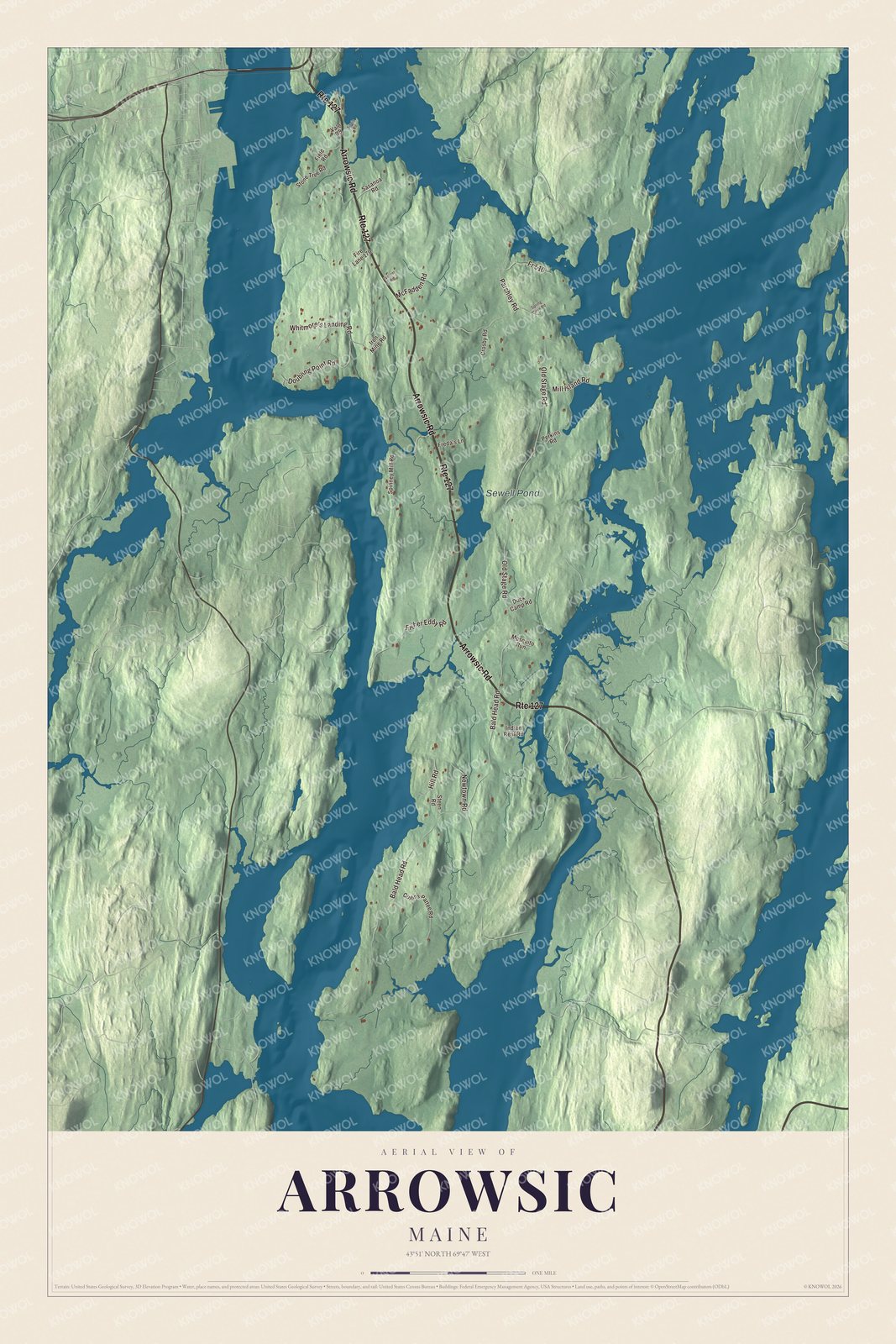
Click to explore a larger preview. The digital watermark does not appear on printed maps.
See it on a wall
The Arrowsic map as a framed print. Swipe for more.


Lights on the Kennebec
In 1898, fifteen years after Bath Iron Works was founded a mile and a half upriver, the government lit the lower Kennebec with a new set of lights, and three of them stand on Arrowsic. Doubling Point Light sits at the inside of the first of two sharp bends in the river, reached by a three-span footbridge. Nearby, the Doubling Point Range Lights are two small towers set so a ship in the main channel sees only the southern one, and their page calls them the only surviving pair of range lights in Maine. Squirrel Point Light marks the island’s southwestern tip. All three joined the National Register of Historic Places on the same day in 1988.
Close by, the Fiddler’s Reach Fog Signal was built in 1914, two years after the steamship Ransom B. Fuller ran aground in fog on the river’s S-bend called Fiddler Reach. Its bell rang two strokes every twenty seconds, wound by clockwork every four hours, until a horn replaced it in the late 1960s. The station closed in 1982. Volunteers who call themselves the Range Light Keepers restored it, and a replacement bell went up on the tower in 2016.
Back on land, the Snipe Farm at 157 Arrowsic Road joined the National Register in 2023. Sewell Pond is printed on the map. The town page lists it among the island’s sites of interest, along with the Bald Head Preserve and the Arrowsic Island Pottery.
This Arrowsic map is a fine addition to an office, library or den, and it can teach children the geography and history of an island town on the Kennebec. It’s made for anyone who calls Arrowsic home, from Whitmore’s Landing Road to Sewell Pond. Zoom in on the preview above to explore the details, then click here to get your copy of the Arrowsic, Maine map.

Sources
- Arrowsic, Maine, Wikipedia
- Clarke and Lake Company Archeological Site, Wikipedia
- Samuel Penhallow, Wikipedia
- Doubling Point Light, Wikipedia
- Doubling Point Range Lights, Wikipedia
- Squirrel Point Light, Wikipedia
- Fiddler’s Reach Fog Signal, Wikipedia
- National Register of Historic Places listings in Sagadahoc County, Maine, Wikipedia