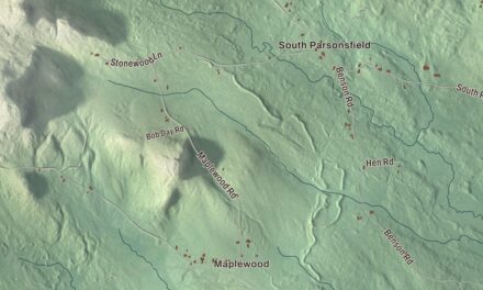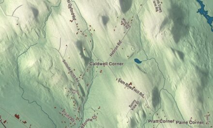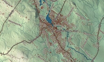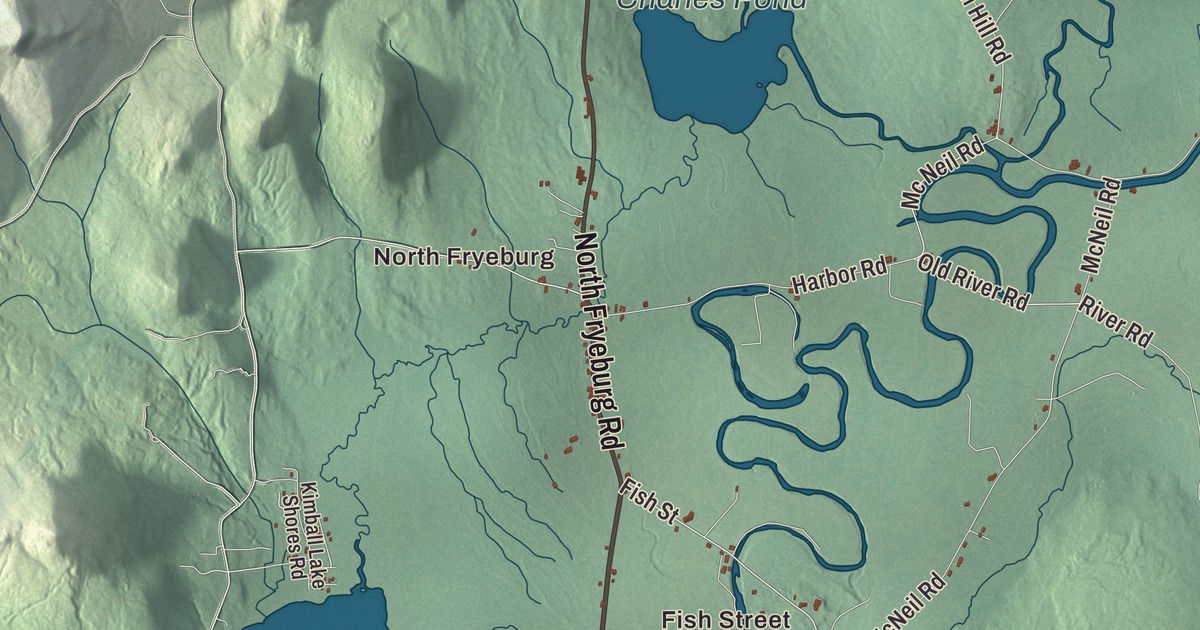
North Fryeburg and Fish Street are places to begin on this Fryeburg map, with Kezar Pond and Lovewell Pond printed in the aerial view. Main Street, Bridgton Road and Lovell Road are named too. Click here to purchase a print of this map for your wall.
Fryeburg is a town in Oxford County, beside the New Hampshire border.
KNOWOL made this map in 2026 from public survey data, with the look of an old atlas. United States Geological Survey elevation data shades the terrain, while Census Bureau files supply the roads and town boundary. The buildings, neighborhoods, ponds and waterways are gathered into an aerial view. Fryeburg had 3,369 residents at the 2020 census.
Pequawket and the river
The area was an Abenaki village called Pequawket, a name described in the town history as crooked place, referring to the large bend of the Saco River. The river remains part of Fryeburg’s geography. It drains the town along the Maine and New Hampshire borderland.
Massachusetts granted the township to Joseph Frye in 1762, and Nathaniel Smith and his family settled here in 1763. Fryeburg was incorporated in 1777. Agriculture and water-powered work became parts of the town’s economy, with a gristmill established in 1766 and later factories making lumber, leather, harnesses, tinware, cheese and canned vegetables.
The Portland and Ogdensburg Railroad brought visitors after the Civil War. Inns and boarding houses served travelers, and automobile tourism followed. The town also became a place of schools, camps and music, alongside the farms and river.
Fryeburg Academy
Fryeburg Academy was founded in 1792. Daniel Webster served as its preceptor in 1802, before his later career in national politics. The school serves local students as well as boarders from elsewhere, and its history is part of the town’s continuing educational role.
Rufus Porter enrolled at the academy in 1804 and later founded Scientific American. The academy’s history also records a long tenure by Amos Cook, Webster’s successor. These stories connect Fryeburg to people whose work reached well beyond the town.
Peary’s view from Jockey Cap
Arctic explorer Robert Peary lived in Fryeburg in 1878 and 1879. From Jockey Cap Rock, a granite glacial erratic beside the Saco, he surveyed the profile of the surrounding hills and mountains. His friend Alfred Burton later proposed turning the survey into a monument.
A bronze version of the profile was placed on a granite cylinder and dedicated by Peary’s family in 1938. The town also holds the Fryeburg Fair and its farm museum. The survey monument and agricultural fair offer two different ways to learn about the place beyond the road names.
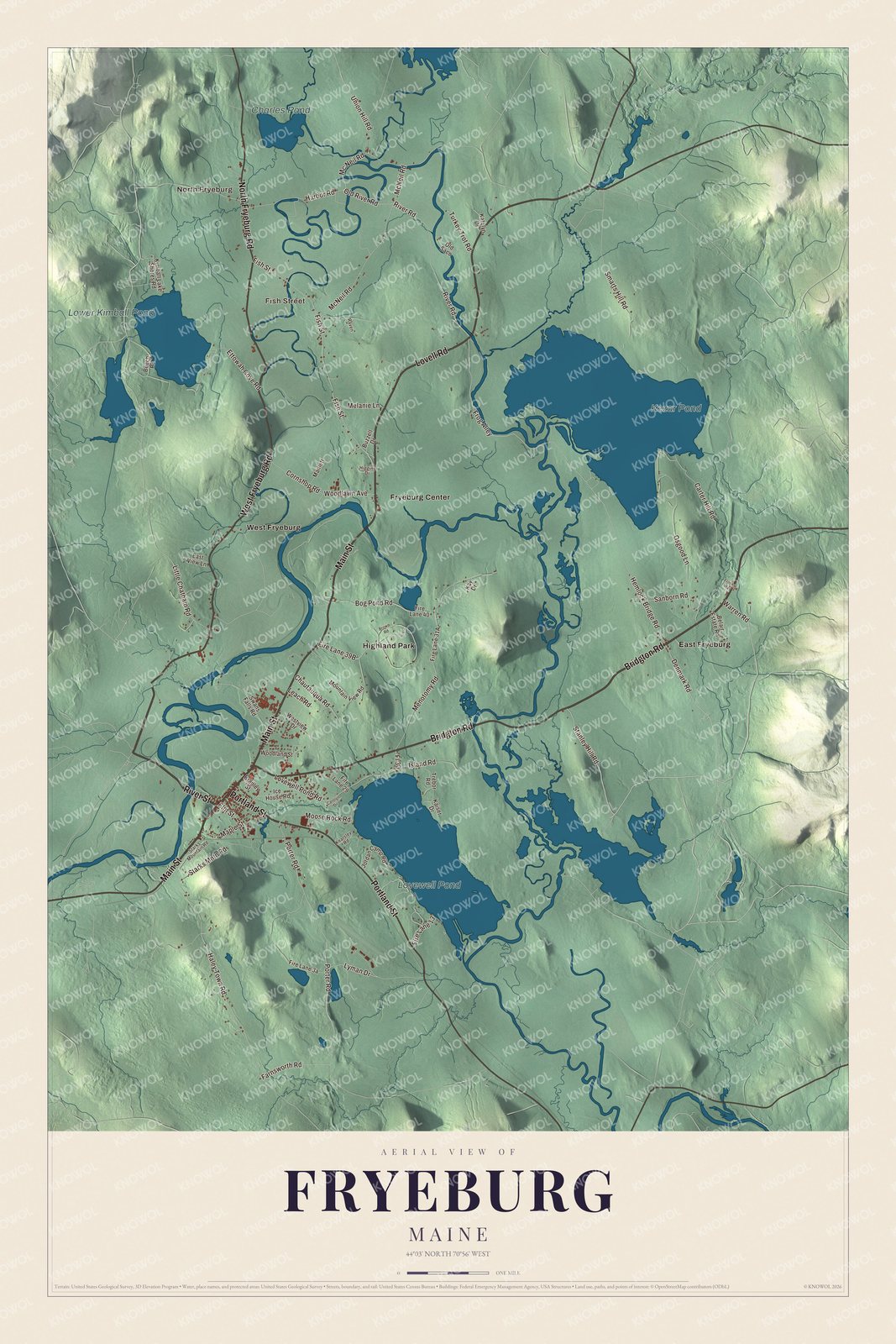
Click to explore a larger preview. The digital watermark does not appear on printed maps.
See it on a wall
The Fryeburg map as a framed print. Swipe for more.


Villages and ponds
North Fryeburg and Fish Street, East Fryeburg, Fryeburg Center, Highland Park and West Fryeburg are printed names to find. Kezar Pond, Lovewell Pond, Lower Kimball Pond and Charles Pond are printed too. The smaller roads and buildings appear around those names in the aerial view.
Bridgton Road, Main Street, Lovell Road, River Street, West Fryeburg Road and North Fryeburg Road are printed by name. Routes 302, 5 and 113 serve Fryeburg. Follow the road you know through the preview, then look at how the villages and ponds fit within the town line.
For those who call Fryeburg home, this map keeps its villages, roads and ponds together as it looks today. It can hang in an office, library or den and help teach children the geography and history of the Saco River town. Zoom in on the preview above to explore the details, then click here to get your copy of the Fryeburg, Maine map.

Sources