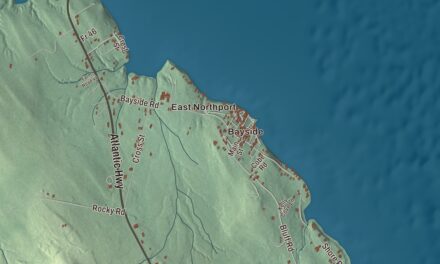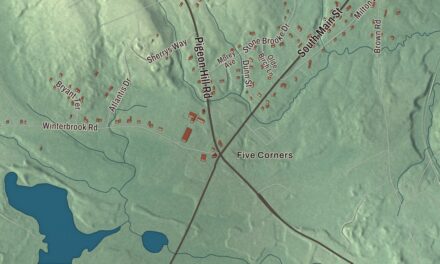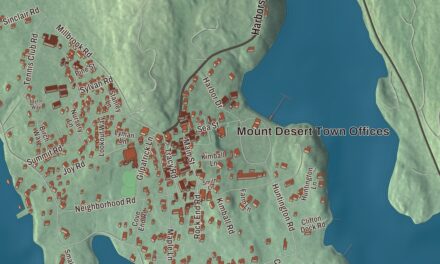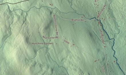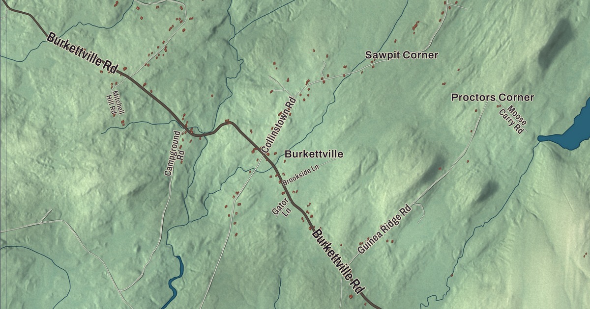
Appleton is a town of corners. This map prints four of them, Gushees Corner, Maddocks Corner, Martins Corner and Morang Corner, along with the village of Burkettville and six roads: Burkettville Road, Searsmont Road, Union Road, Camden Road, Collinstown Road and Guinea Ridge Road. Sennebec Pond, Newbert Pond, Mill Pond and Pettengill Marsh are printed too. Click here to purchase a print of this map for your wall.
Appleton is in Knox County, and it had 1,411 people at the 2020 census.
KNOWOL made this map in 2026 from public survey data and gave it the look of an old atlas. The shaded terrain comes from United States Geological Survey elevation data, and the roads and the town line come from the Census Bureau, which counts 33.43 square miles in town. Appleton lies about 15 miles inland from Penobscot Bay and coastal towns like Camden and Rockland, and about 30 miles east of Augusta.
One of the Twenty Associates’ towns
Appleton was incorporated on January 28, 1829, from the Plantation of Appleton. Both took their name from Nathaniel Appleton, who for more than 20 years was an officer of the Twenty Associates, the proprietors of Appleton and of Camden, Hope, Liberty and Montville too. Its villages are Appleton, Burkettville and North Appleton.
The village center gathers along Sennebec Road. The Union Meeting House, at number 2875, was built in 1848 by a union of non-Baptist congregations, who paid for it by selling the pews; Unitarians and Quakers were among those who worshiped there, and for 28 years its balcony held the town library. The town took it on a tax lien in 1971 and gave it to the historical society, which uses it as its museum and headquarters. Across the road at number 2868, the Gushee Family House was built about 1833, the year Almond Gushee Jr., part owner of a local mill, married Elvira Drake. Gushees stayed in it into the 1960s, and its page says its elaborate front doorway is one of several nearly identical entries on period houses in Appleton and neighboring towns, by a builder nobody has named.
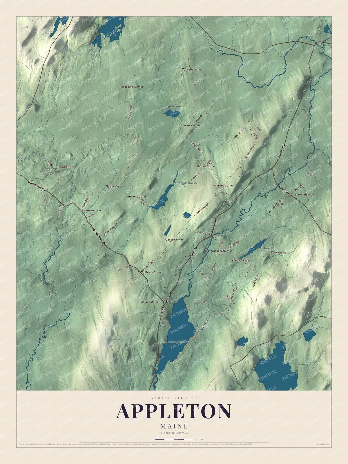
Click to explore a larger preview. The digital watermark does not appear on printed maps.
See it on a wall
The Appleton map as a framed print. Swipe for more.


Farms and a canal
The Whitney Farm, at 215 Whitneyville Road off Appleton Ridge Road, spreads across more than 200 acres in Appleton and Searsmont. John Tole settled it about 1825 as a subsistence farm, and Martha and Hezekiah Whitney bought it in 1878; their descendants owned it into the 21st century. Burton Whitney, of the second generation, was mostly a cooper, making barrels for the potato farms of Aroostook County, and he turned the farm toward poultry. The Cape house of about 1825 didn’t get electricity or indoor plumbing until about 2008, and the farm turns up in the film Thinner, made from the Stephen King novel.
The route of the Georges River Canal, also called the General Knox Canal, is on the National Register of Historic Places in Appleton, Union and Warren. Henry Knox, the Revolutionary War general, owned and ran the canal from 1794 until his death in 1806, and it was revived from 1847 to 1850 to carry goods from Quantabacook Lake in Searsmont down to the head of navigation at Warren. Its page says it never paid its way. After 1979 the singer and songwriter Jonathan Richman took a sabbatical of a few years, staying in Appleton and playing local bars in Belfast.
This Appleton map makes a handsome addition to an office, library or den, and it can teach children the geography and history of a town named for an officer of its first proprietors. It’s made for anyone who calls Appleton home, from Burkettville to Morang Corner. Zoom in on the preview above to explore the details, then click here to get your copy of the Appleton, Maine map.

Sources