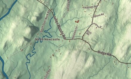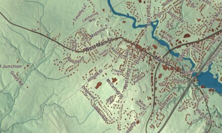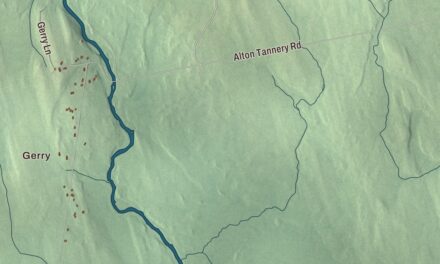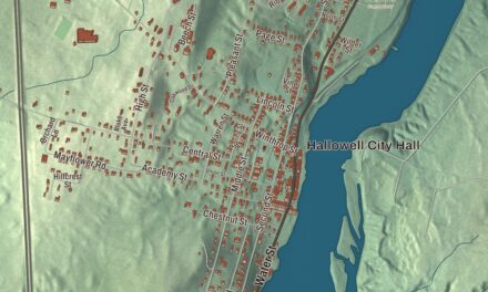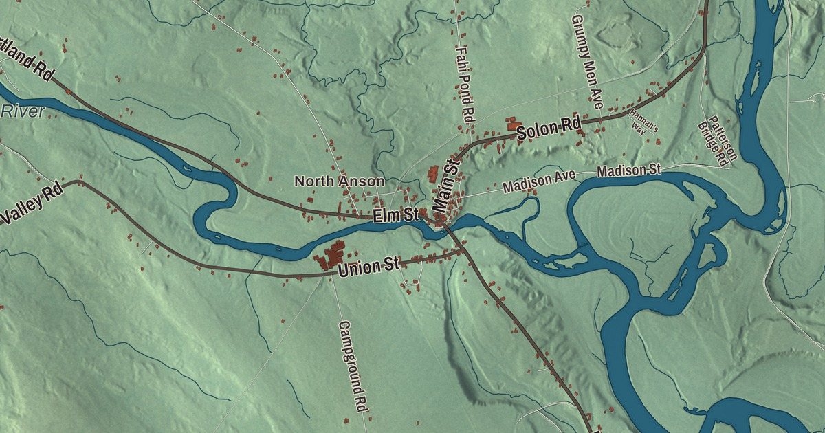
Anson is two villages, Anson and North Anson, with the Carrabassett River running down to the Kennebec. This map prints North Anson and the river, Elm Street, Main Street and River Road, West Mills Road, New Portland Road and Valley Road, and the outlying names of Pease Corner, Dane Corner and Nevens Pond. Click here to purchase a print of this map for your wall.
Anson is in Somerset County, and it had 2,291 people at the 2020 census.
KNOWOL made this map in 2026 from public survey data and gave it the look of an old atlas. The shaded terrain comes from United States Geological Survey elevation data, and the roads and the town line come from the Census Bureau, which counts 48.29 square miles here. The town is drained by Mill Stream, Gilbert Brook, Lemon Stream, the Carrabassett River and the Kennebec River, and across the Kennebec to the east lies Madison.
Plantation Number One
The land was home to the Norridgewock Abenaki. Settlers came in 1772 to what was called Plantation Number One, and in 1775 General Benedict Arnold and his troops passed through Anson village on their way up the Kennebec toward Quebec. The town was incorporated on March 1, 1798, and named for Lord George Anson. North Anson was set off as a separate town on March 20, 1845, and rejoined Anson on March 13, 1855.
With much rich alluvial soil, Anson became a farming town, and the water power along the Carrabassett made North Anson a small mill village. It had two tanneries in 1859, and by 1886 two sawmills and three boot and shoe factories, with the town turning out boots, shoes, leather, bricks, lumber, flour and wool rolls. By 1876 North Anson was the northern end of the Somerset Railroad, which had started at Oakland in 1872. Later, as Madison grew into an industrial center with large paper mills, Anson became a home for its mill workers. The old rail line was reopened for a time in 2007, and in 2021 the State of Maine announced it had acquired it for a rail trail from Oakland to Embden.
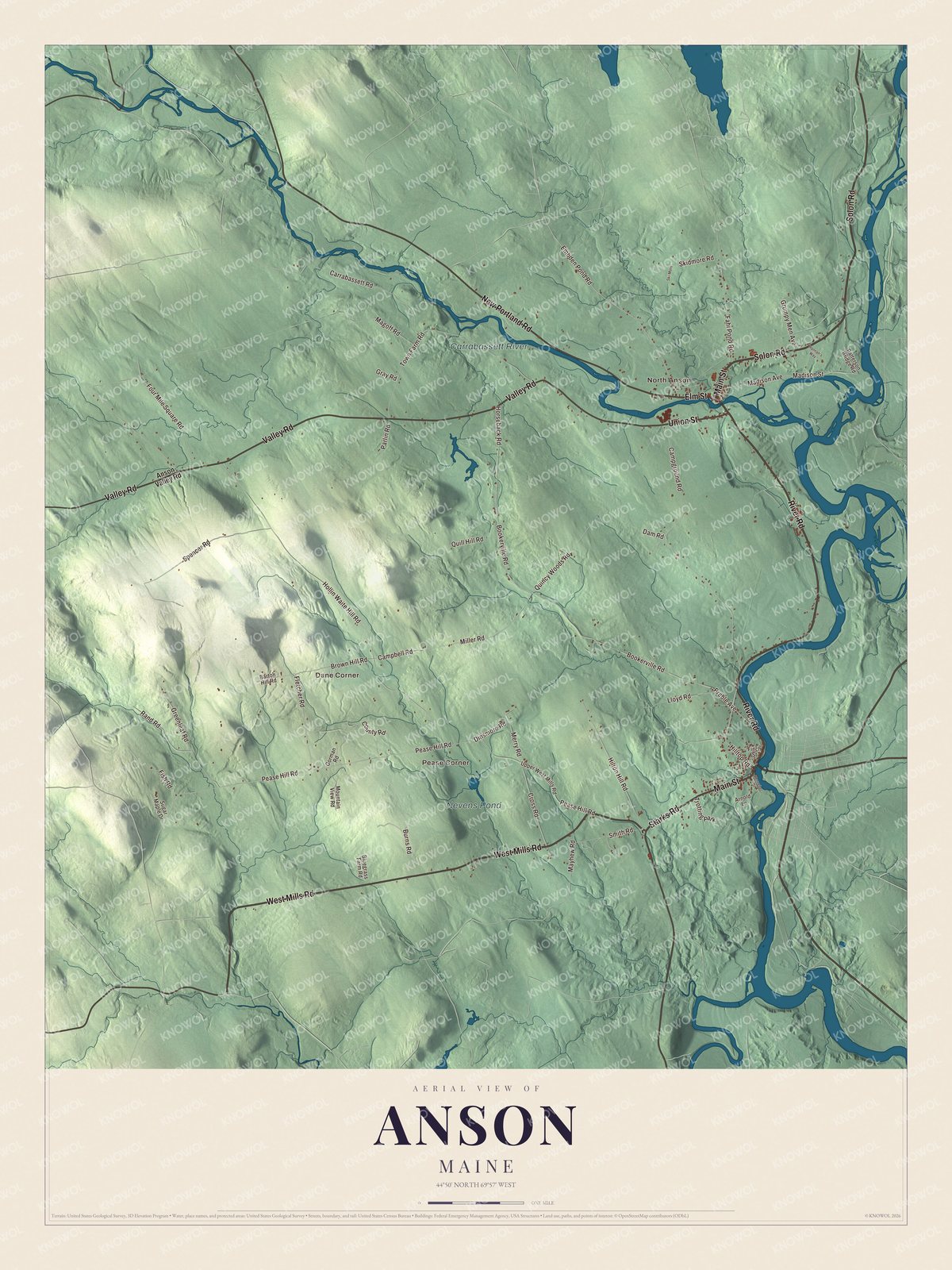
Click to explore a larger preview. The digital watermark does not appear on printed maps.
See it on a wall
The Anson map as a framed print. Swipe for more.


North Anson
North Anson is printed on the map. It sits on the north bank of the Carrabassett, and the river runs through the North Anson Gorge before reaching the village and joins the Kennebec about a mile below it, at Savage Island. The Carrabassett rises near Sugarloaf Mountain and runs 33.8 miles to that meeting.
Elm Street is printed too. At number 10 stands the Anson Grange No. 88 hall, a building that goes back to about 1849, when Joseph Merry built its brick front and leased it to a dry goods merchant. Its page calls it North Anson’s oldest commercial building and the only one to come through the village fires of 1863 and 1913. The Grange bought it in 1901, and it has been the community’s hall for dances, weddings and meetings since. At the corner of Union Street and River Road, the Carrabasset Inn began as a house around 1850 and was turned into a hotel right after the 1913 fire; it was the village’s only lodging into the 1940s and is a private home today.
On Madison Street, four houses built from about 1844 into the 1850s stand in a row, three of them with Greek temple fronts on three Doric columns. Their page calls the group unique in the rural interior of the state and surmises that a carpenter, Ebenezer F. Witherill, built all four, giving his own a newer Italianate look. North of the village on Route 16, the Bailey Farm Windmill of about 1905, an octagon with a copper-domed roof, stood on Benjamin and Chester Bailey’s farm over a shallow well. Its page says it was apparently in use until the 1920s, when the pump went to gasoline power, and counts it among a very small number of farm windmills left in Maine.
This Anson map makes a handsome addition to an office, library or den, and it can teach children the geography and history of a river town with two villages. It’s made for anyone who calls Anson home, from North Anson to Dane Corner. Zoom in on the preview above to explore the details, then click here to get your copy of the Anson, Maine map.

Sources