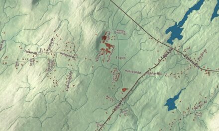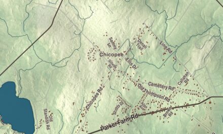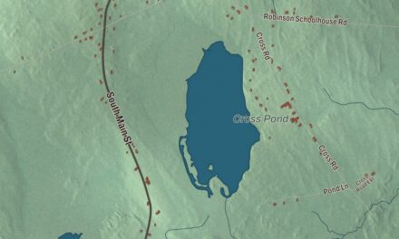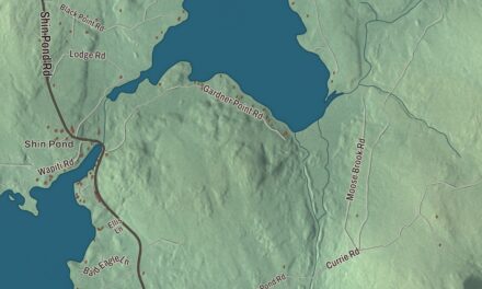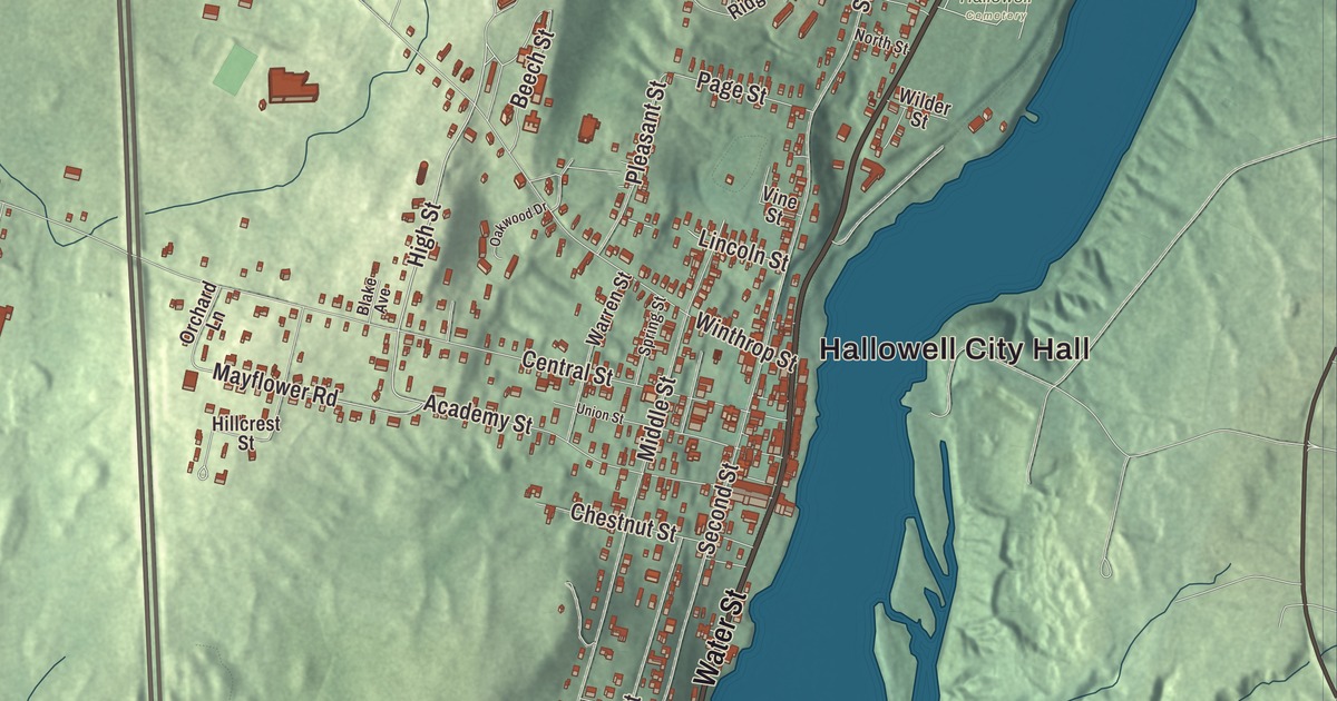
Water Street and Hallowell City Hall give this Hallowell map familiar starting points. Granite Hill, Cascade Pond and Hallowell Recreation Pond are names to look for as you explore farther. Click here to purchase a print of this map for your wall.
Hallowell is a city in Kennebec County, beside the Kennebec River.
KNOWOL made this map in 2026 from public survey records, with modern geography and the look of a vintage atlas. United States Geological Survey elevation data gives the terrain its shading. Census Bureau files supply the roads and municipal boundary, with buildings and water features brought together in the aerial view.
A riverport with a printing trade
Hallowell was incorporated in 1771 and named for Boston merchant Benjamin Hallowell, one of the Kennebec Proprietors. The part that became Augusta separated in 1797. The remaining city was known as The Hook, and its history includes shipbuilding, trading, publishing and granite work.
Granite quarrying near the Manchester line began in 1815. Hallowell also shipped river ice to Cuba and the West Indies, with the ice trade developing in 1826. Rail transport joined river shipping in 1857. The city’s population was 2,570 at the 2020 census.
The buildings around Water Street
Hallowell’s historic district entered the National Register of Historic Places in 1970. It includes commercial and residential buildings dating from the city’s riverport years. Water Street follows the west bank of the Kennebec through this historic center.
Hallowell City Hall dates to 1898 in the district’s property inventory. The same inventory includes the Hubbard Free Library and the former cotton mill, while the city’s history describes a cast-iron facade added to the old Emporium around 1870. These are specific traces of civic life, manufacturing and commerce in the river city.
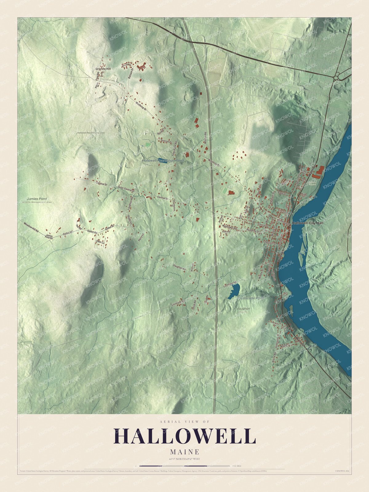
Click to explore a larger preview. The digital watermark does not appear on printed maps.
See it on a wall
The Hallowell map as a framed print. Swipe for more.


A closer look at Hallowell
Hallowell City Hall and Granite Hill are printed on the map. Water Street, Vaughan Road, Outlet Street, High Street, Meadow Hill Road and Mayflower Road are named too.
Cascade Pond and Hallowell Recreation Pond each have printed names. The city borders Farmingdale, Manchester and Augusta, with Chelsea across the Kennebec. Roads, buildings and water features are brought together inside the present city boundary.
For people who call Hallowell home, the map brings familiar places together as it looks today. It can hang in an office, library or den, or help teach children the geography and history of the area. Zoom in on the preview above to explore the details, then click here to get your copy of the Hallowell, Maine map.

Sources