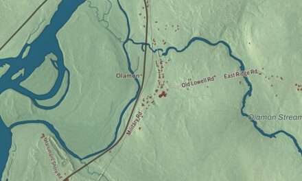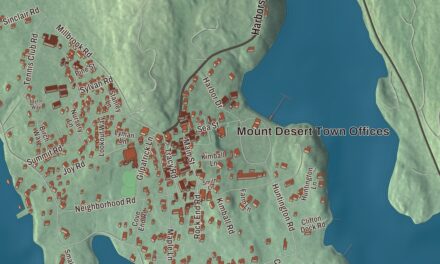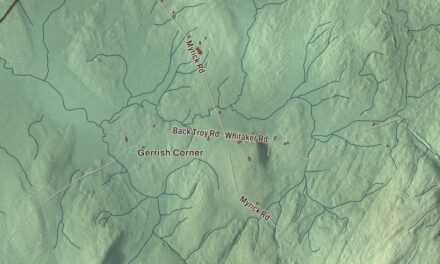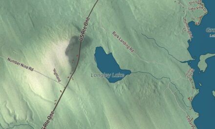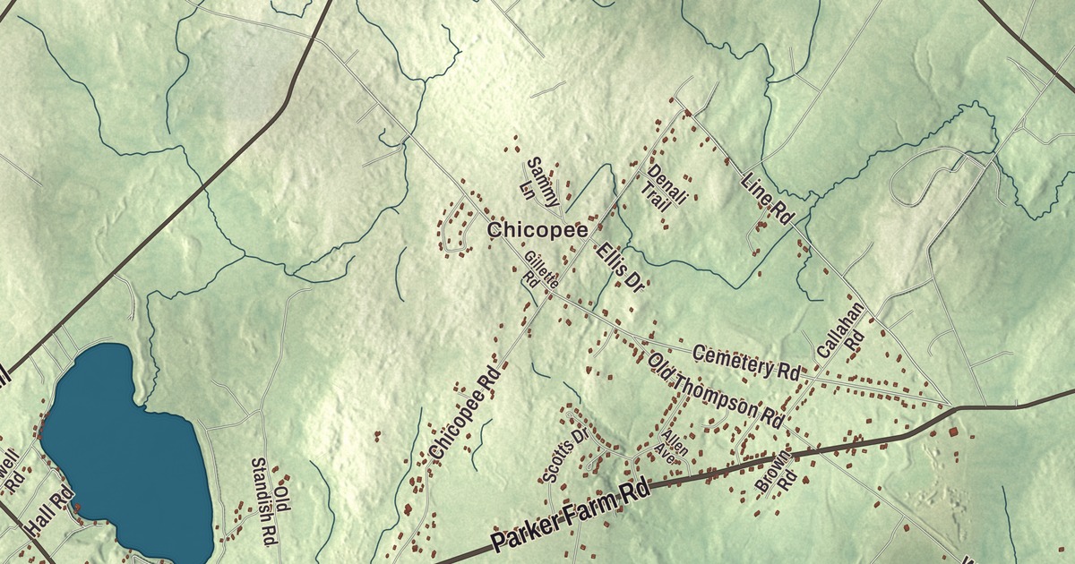
Long Plains Road leads the printed names on this map of Buxton, and Bar Mills, Salmon Falls, Groveville, Chicopee and Buxton Center carry their names too. Beech Plain Road, Joy Valley Road, Parker Farm Road, Main Street and the Narragansett Trail are printed too, with Kimbles Corner, Roberts Corner and Duck Pond. Click here to purchase a print of this map for your wall.
Buxton is a town in York County, with 8,376 people at the 2020 census.
KNOWOL made this map in 2026 from public survey data and gave it the look of an old atlas. Its hills are shaded from United States Geological Survey elevation data, and its roads and town line come from the Census Bureau, which counts 41.23 square miles in Buxton, 0.71 of them water. The Saco River and the Little River drain the town.
Narragansett Number 1
In 1728 the Massachusetts General Court granted this township as Narragansett Number 1 to Philemon Dane of Ipswich and 119 other veterans of King Philip’s War, or their heirs. A first try at settling it in the early 1740s was given up during the French and Indian Wars. The first lasting settlement began in the fall of 1750 near Salmon Falls, under the protection of a stockaded blockhouse and trading post a half mile below Union Falls. Amos Chase was among the first settlers, and he became the first deacon of the Congregational church in Pepperellborough, today’s Saco. The Rev. Silas Moody opened the first schoolhouse in 1761. Buxton dates to 1772, when Narragansett Number 1 was incorporated and named by its minister, the Rev. Paul Coffin, for the spa town of Buxton in Derbyshire, England. His reasons for the choice are unknown.
Settlers found level land for corn, potatoes and hay, and the rivers gave them power. The first sawmill stood on the Little River, and a gristmill called Bog Mill went up at the outlet of Bonny Eagle Pond. The biggest mills were at the falls of the Saco. Salmon Falls had sawmills that could cut four million feet of lumber a year, Bar Mills had gristmills and a box mill, and at Moderation Falls in West Buxton woolen mills wove about 936,000 yards of cloth a year. Buxton’s mill town prosperity left it a set of fine old buildings.
Along Long Plains Road
Long Plains Road is printed on the map, and two of those buildings stand by it near the center of town. Elden’s Store, at its corner with Haines Meadow Road, was built of brick in 1802. It’s the oldest commercial building in Buxton and one of the few historic brick commercial buildings in western York County. Its ground floor was a general store into the 1930s, and upstairs a coat-making business did well in the middle of the 1800s. The Buxton-Hollis Historical Society owns it. About 250 meters off the road, in the woods, is the Buxton Powder House, a 10-foot square brick magazine that Theodore Elwell finished in 1813 for $59 to hold the town’s gunpowder, lead and flints during the War of 1812. It’s one of three town-built powder houses left in Maine, with the others in Hallowell and Wiscasset.
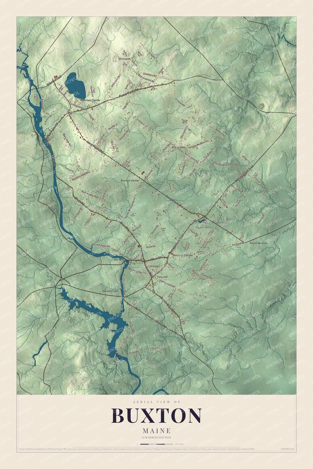
Click to explore a larger preview. The digital watermark does not appear on printed maps.
See it on a wall
The Buxton map as a framed print. Swipe for more.


The Brewsters and Tory Hill
In Buxton Lower Corner stands the Royal Brewster House, built in 1805 by Joseph Woodman for Dr. Royal Brewster, the town’s doctor for about 40 years. His brother John Brewster Jr. lived there for many years. Deaf from birth, John Brewster Jr. learned to paint from a minister and became a traveling portrait painter, working across Connecticut, Maine, Massachusetts and eastern New York and making likenesses of many of Maine’s leading families, especially their children. His work is highly regarded today.
On River Road, just north of U.S. Route 202, is the First Congregational Church, built in 1822 after Paul Coffin’s death, the end of a ministry of about 60 years. Locals call it the Tory Hill Meetinghouse, after the village name, which came from residents who opposed the War of 1812 and refused to muster for the militia. The writer Kate Douglas Wiggin, who lived nearby in Hollis, drew on the meetinghouse for The Old Peabody Pew, and the play is staged in the church every December.
Salmon Falls and Bar Mills
Salmon Falls is printed on the map. The village is divided between Buxton and Hollis by the Saco, and its falls were put to work for small industries in the second quarter of the 1800s. On the Buxton side, the Salmon Falls (East) Historic District follows Route 117 north from Simpson Road, with thirteen properties built from about 1800 to 1850, mostly Greek Revival, among them the brick Came-Marshall House and the Elden family homestead from around the 1790s. Chicopee and Bar Mills are printed too. Bar Mills sits on the Saco where State Routes 4A and 112 meet, and it has its own post office.
Buxton Center and Groveville are printed on the map, along with Kimbles Corner and Roberts Corner. Beech Plain Road, Main Street, Joy Valley Road, Parker Farm Road and Duck Pond are printed as well, and so is the Narragansett Trail, which shares its name with the old township.
This Buxton map makes a handsome addition to an office, library or den, and it can teach children the geography and history of a Saco River mill town. It’s made for anyone who calls Buxton home, from Bar Mills to Salmon Falls, as it looks today. Zoom in on the preview above to explore the details, then click here to get your copy of the Buxton, Maine map.

Sources
- Buxton, Maine, Wikipedia
- Elden’s Store, Wikipedia
- Buxton Powder House, Wikipedia
- Royal Brewster House, Wikipedia
- John Brewster Jr., Wikipedia
- First Congregational Church of Buxton, Wikipedia
- Kate Douglas Wiggin, Wikipedia
- Salmon Falls (East) Historic District, Wikipedia
- Bar Mills, Maine, Wikipedia
- National Register of Historic Places listings in York County, Maine, Wikipedia