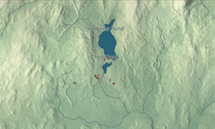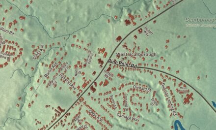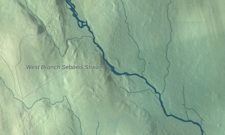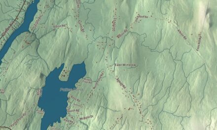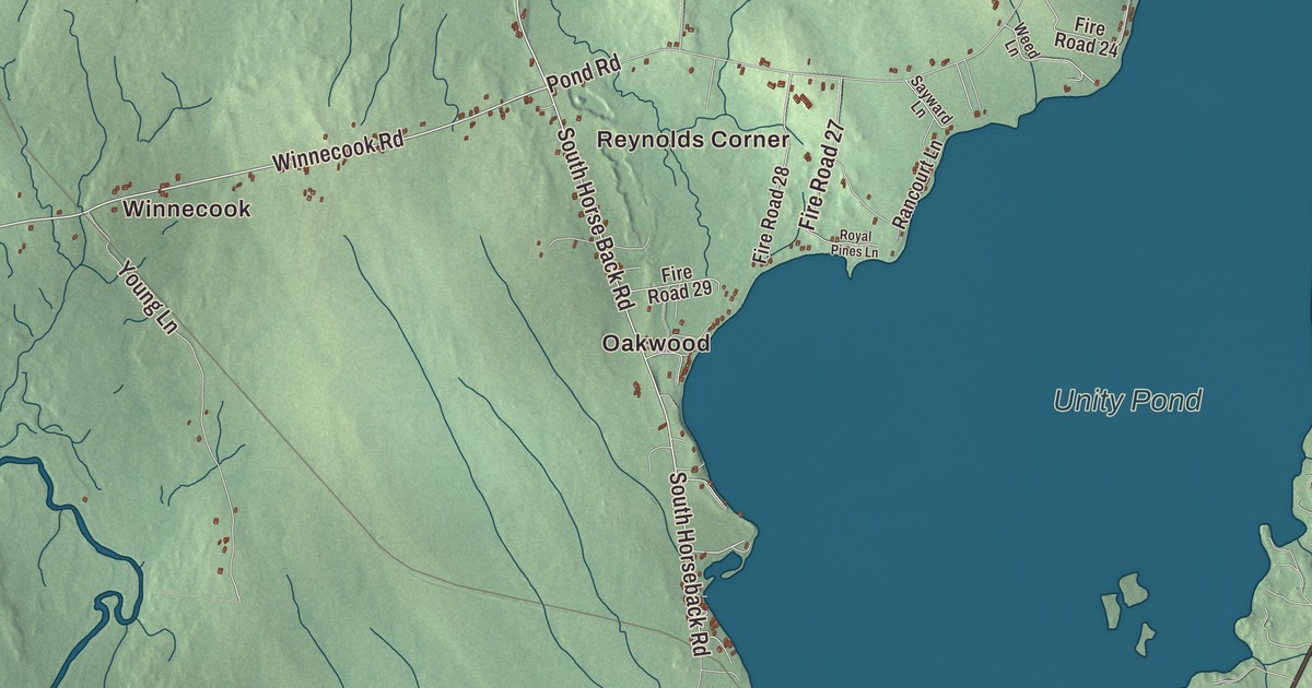
Unity Pond, the Sebasticook River and Twentyfive Mile Stream are all printed on this map of Burnham. North Main Street, South Main Street, Winnecook Road, Mill Road, Perkins Road and Canaan Road carry their names, and Oakwood, Winnecook, Reynolds Corner, Dodge Corner and Twitchell Corner are printed too. Click here to purchase a print of this map for your wall.
Burnham is a town in Waldo County, with 1,096 people at the 2020 census.
KNOWOL made this map in 2026 from public survey data and gave it the look of an old atlas. United States Geological Survey elevation data shades the land, and the roads and town line come from the Census Bureau. The bureau counts 41.22 square miles in Burnham, 2.33 of them water, most of it Unity Pond.
A farm town on the Sebasticook
Burnham dates to 1824. It lies in the northwest corner of Waldo County, with Pittsfield to the north, Detroit to the northeast, Troy to the east, Unity and Unity Township to the south and Clinton to the west. Interstate 95 crosses the town, and so do State Routes 11 and 100.
On Horseback Road, half a mile south of Troy Road in the east of town, stands Springdale Farm, a connected farmhouse and barn from about 1870 that survive almost intact. The barn is built of hand-hewn timbers, with an unusual purlin roof frame for a barn so big. The farm once reached a reported 600 acres and is about 100 today, and members of the Reynolds family owned it until 1977. Pride Manufacturing of Burnham makes Lincoln Logs, the notched toy logs invented around 1916 by John Lloyd Wright, son of the architect Frank Lloyd Wright.
Clair Goodblood joined the Army from Burnham in 1947, and he was awarded the Medal of Honor, after his death, for his actions in Korea in April 1951. E. Robert Kinney was born in Burnham in 1917, grew up on a farm near the Sebasticook outside Pittsfield, and rose to lead General Mills as its chief executive from 1973 to 1981.
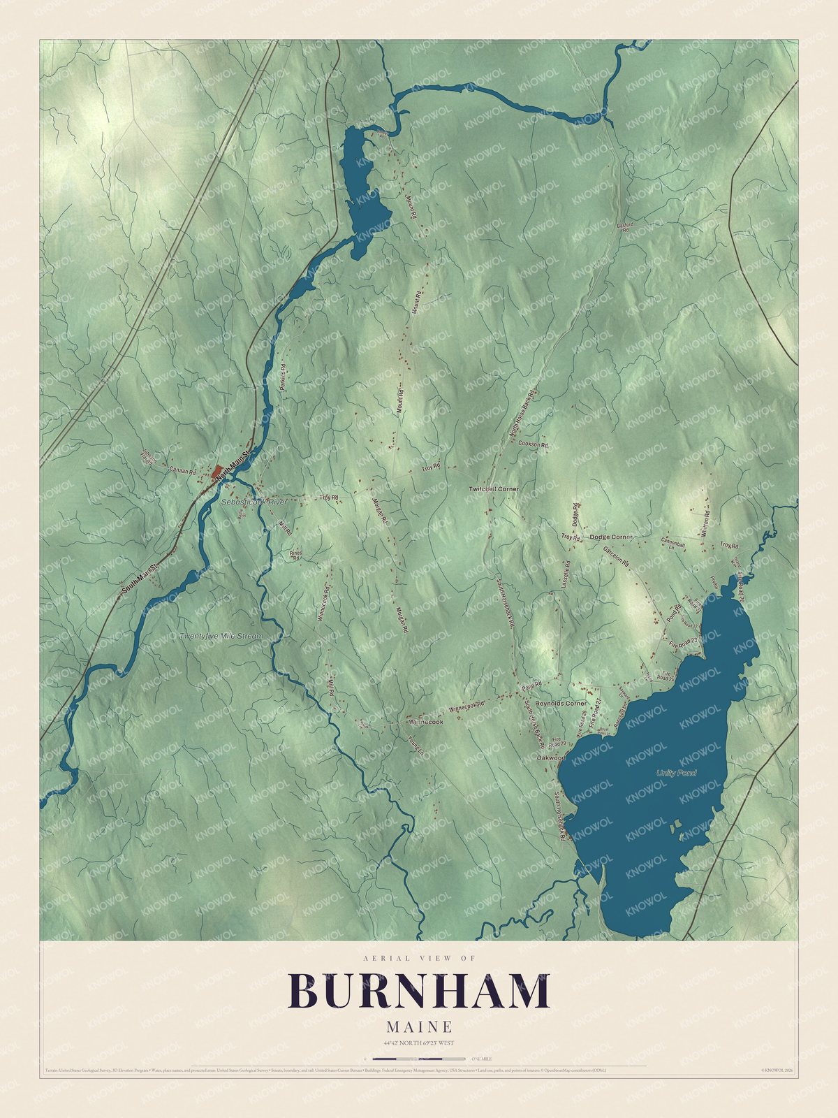
Click to explore a larger preview. The digital watermark does not appear on printed maps.
See it on a wall
The Burnham map as a framed print. Swipe for more.


Unity Pond and the streams
Unity Pond is printed on the map. It’s also called Lake Winnecook, and its page names it the largest lake in Waldo County, shared by Unity, Burnham and Troy. Europeans first settled around it in 1785, and sawmills stood on its three main brooks by the early 1800s. Later the cleared land around it was farmed, canneries ran nearby from the 1920s to the 1950s, and poultry and dairy farms and summer camps followed. Burnham Town Beach on the lake is open to the public. Winnecook and Winnecook Road are printed too.
Twentyfive Mile Stream and the Sebasticook River are printed as well. The stream carries the lake’s water on to the Sebasticook, which flows south to the Kennebec River at Winslow. A regional land trust calls the Sebasticook the largest tributary of the Kennebec, and it was once a spawning river for alewives, shad and other sea-run fish.
North Main Street and South Main Street are printed on the map, and so are Mill Road, Perkins Road and Canaan Road. Oakwood, Reynolds Corner, Dodge Corner and Twitchell Corner are printed as well.
This Burnham map makes a handsome addition to an office, library or den, and it can teach children the geography and history of a Waldo County farm town. It’s made for anyone who calls Burnham home, from Oakwood to Twitchell Corner, as it looks today. Zoom in on the preview above to explore the details, then click here to get your copy of the Burnham, Maine map.

Sources