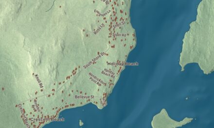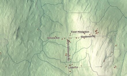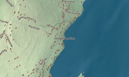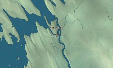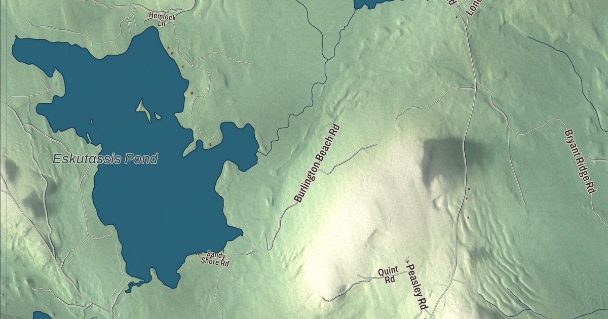
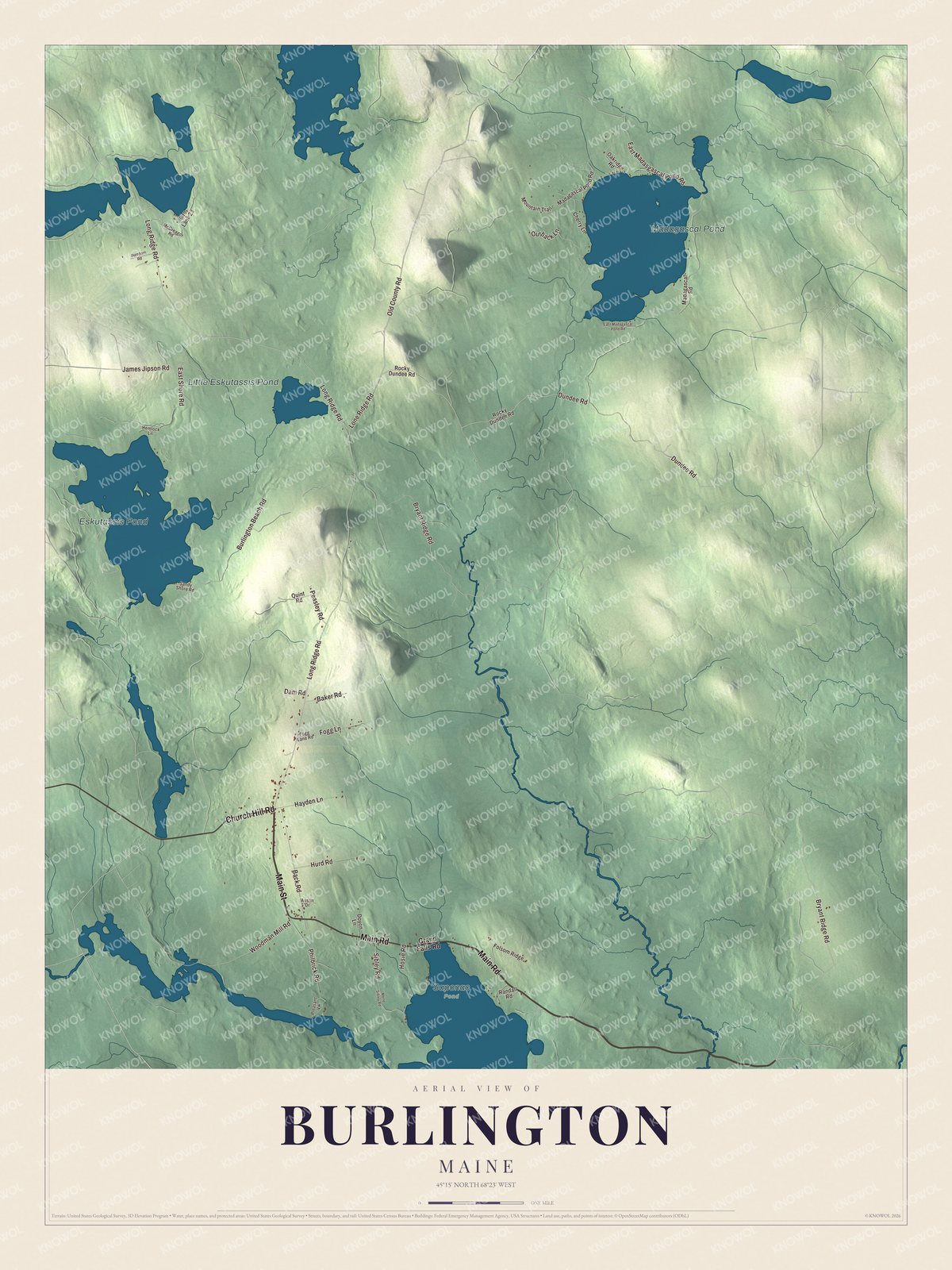
Long Ridge Road, Church Hill Road and Old County Road carry their names across this map of Burlington, and Main Street and Main Road hold the center of town. Eskutassis Pond, Little Eskutassis Pond and Madagascal Pond are printed among the woods. Click here to purchase a print of this map for your wall.
Burlington is a town in Penobscot County, with 373 people at the 2020 census.
KNOWOL made this map in 2026 from public survey data and gave it the look of an old atlas. The relief is shaded from United States Geological Survey elevation data, and the roads and town line come from the Census Bureau. The bureau counts 56.25 square miles in Burlington, and 2.24 of them are water.
Hurd’s Ridge
The first settler who wasn’t Native was Tristram Hurd, who came in 1824, and for a time the place was simply Hurd’s Ridge. Burlington dates to 1832, when the town was incorporated on March 8. The town’s motto today is “The Way Maine Life Should Be.” The Passadumkeag River flows west toward the Penobscot below the Old Tavern’s corner of town, and its name comes from the Penobscot language, meaning “at the land beyond the gravel bar.” Lumbermen once worked the log drives far up that river, around Nicatous Lake.
Click to explore a larger preview. The digital watermark does not appear on printed maps.
See it on a wall
The Burlington map as a framed print. Swipe for more.


The Old Tavern on Long Ridge Road
Long Ridge Road is printed on the map. At its corner with State Route 188, just north of the town’s rural center, stands the Old Tavern, built in 1844 by Amzi Libby of Limerick, Maine. Most of its guests were those lumbermen. Its second owner, Jeremiah Page, served the town as selectman, town clerk and justice of the peace. When the log drives ended, the tavern took in hunters and fishermen instead. The Stewart M. Lord Memorial Historical Society bought it in 1984, restored it and opened it as a local history museum, and the tavern’s old guest log is on display. Route 188 runs through Enfield and Lowell to Burlington, and it ends in the south of town near Saponac Pond.
Main Street and Main Road are printed on the map, and so are Church Hill Road, Old County Road and Lone Ridge Road. Eskutassis Pond, Little Eskutassis Pond and Madagascal Pond are printed as well.
This Burlington map makes a handsome addition to an office, library or den, and it can teach children the geography and history of a small Penobscot County town. It’s made for anyone who calls Burlington home, from Church Hill Road to Madagascal Pond, as it looks today. Zoom in on the preview above to explore the details, then click here to get your copy of the Burlington, Maine map.

Sources