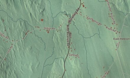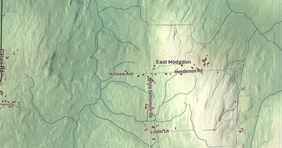
East Hodgdon and Hodgdon Corners are places to find on this Hodgdon map. Hodgdon Mills Road and South Branch Meduxnekeag River bring more local names into view. Click here to purchase a print of this map for your wall.
Hodgdon is a town in Aroostook County, bordering New Brunswick and Houlton.
KNOWOL made this map in 2026 from public survey records, combining modern geography with the look of a vintage atlas. United States Geological Survey elevation data shades the terrain. Census Bureau files supply the roads and municipal boundary, with buildings and waterways brought together in an aerial view.
John Hodgdon’s name
Hodgdon incorporated in 1821 and was named for proprietor John Hodgdon, who came from Weare, New Hampshire. The town profile describes settlement by Scotch-Irish immigrants from Northern Ireland. Hodgdon’s population was 1,290 at the 2020 census.
A geologist born here
George Otis Smith was born in Hodgdon. He graduated from Colby College in 1893 and earned his doctorate at Johns Hopkins in 1896. His later career included directing the United States Geological Survey and chairing the Federal Power Commission.
Smith became Geological Survey director in 1907 and took on the reorganized power commission in 1930. His national work involved geology, resources and public policy. Those responsibilities were carried out beyond Hodgdon, while his life began in this border town.
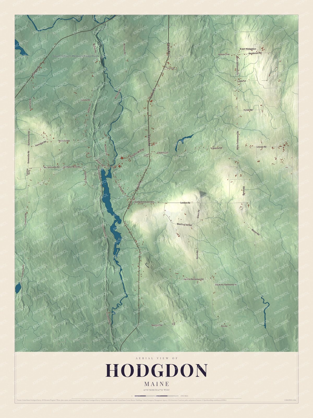
Click to explore a larger preview. The digital watermark does not appear on printed maps.
See it on a wall
The Hodgdon map as a framed print. Swipe for more.


Exploring Hodgdon
East Hodgdon, Jackins Settlement and Hodgdon Corners are printed on the map. Calais Road, Bangor Street, Horseback Road, Hodgdon Mills Road, White Settlement Road and Town Line Road carry printed names too.
South Branch Meduxnekeag River has its own printed name. A substantial part of the Lt. Gordon Manuel Wildlife Management Area lies along that river in the southwestern portion of Hodgdon, according to the town profile. The river gives a geographical connection between the local waterway and that conservation land.
For people who call Hodgdon home, this map brings familiar roads and places together as it looks today. It can hang in an office, library or den, or help teach children the geography and history of the area. Zoom in on the preview above to explore the details, then click here to get your copy of the Hodgdon, Maine map.

Sources