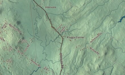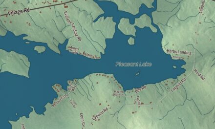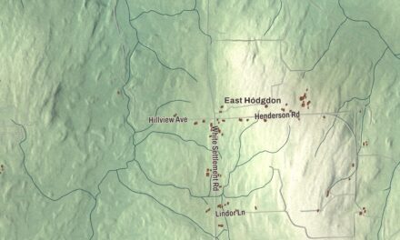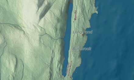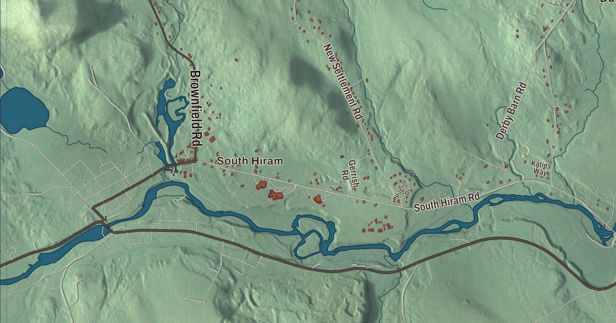
South Hiram, Durgintown and East Hiram give you places to begin on the Hiram map. Pequawket Trail and the ponds bring more familiar names into the aerial view. Click here to purchase a print of this map for your wall.
Hiram is a town in Oxford County.
KNOWOL made this map in 2026 from public survey records, combining modern geography with the look of a vintage atlas. United States Geological Survey elevation data shades the terrain. Census Bureau files supply the roads and municipal boundary, with buildings and waterways brought together in an aerial view.
A district before it was a town
Hiram became a stage stop along the Pequawket Trail, a route used by the Sokokis Abenaki between Standish and Fryeburg. The community was earlier known as Great Ossipee, then organized as Hiram Plantation with a name drawn from the biblical king of Tyre. It incorporated as a district in 1807 and as a town in 1814.
Farmers grew wheat and hay, while sheep supplied wool. The Saco River and tributary waters powered mills producing lumber, barrel staves and other wooden goods. Gristmills and a carding mill also operated here. The town had 1,609 residents at the 2020 census.
Hiram was a railroad junction between the Bridgton and Saco River line and the Portland and Ogdensburg Railroad. Peleg Wadsworth also owned land here, buying a tract in 1790. The history includes both a farming landscape and connections through the region.
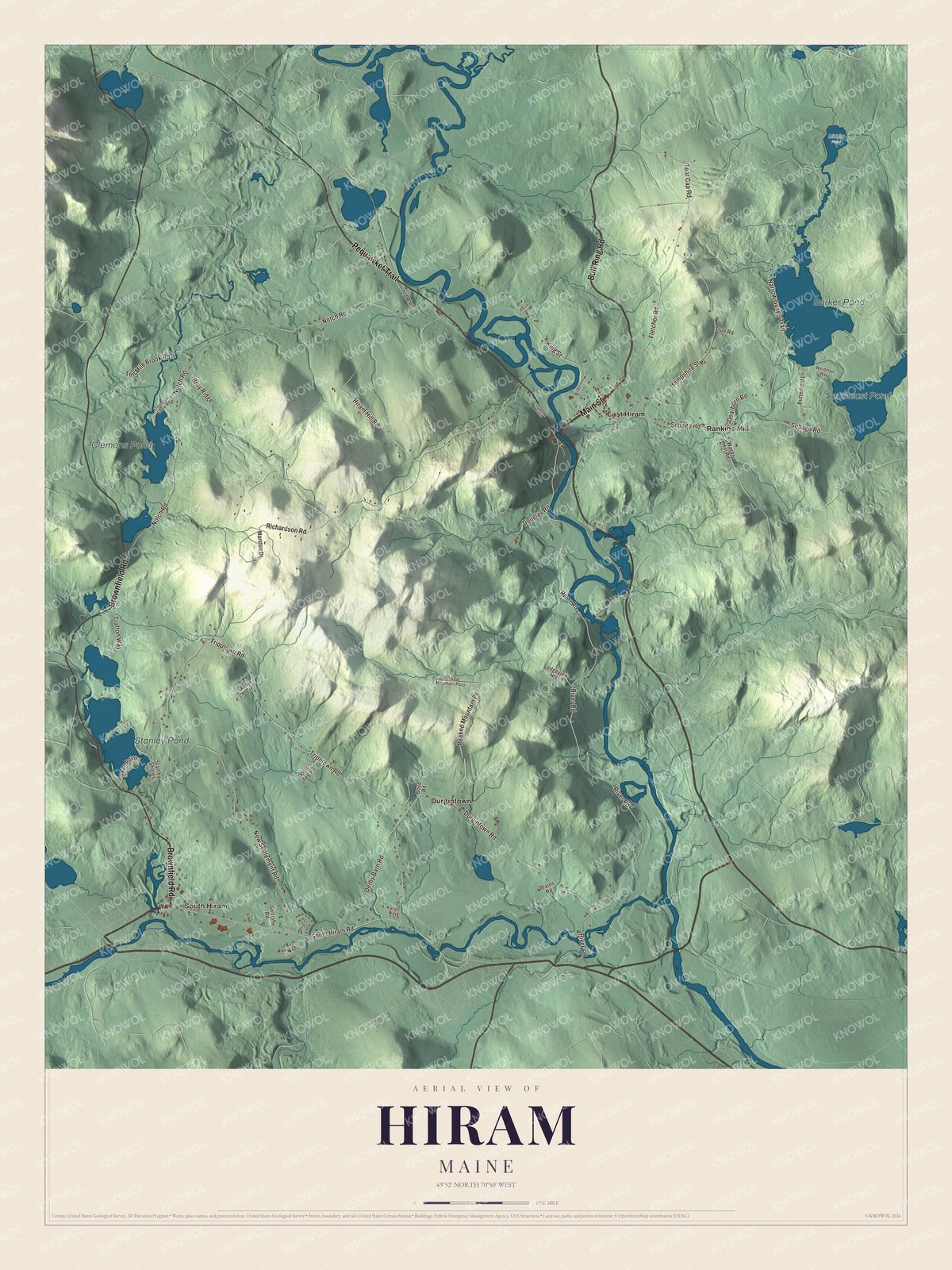
Click to explore a larger preview. The digital watermark does not appear on printed maps.
See it on a wall
The Hiram map as a framed print. Swipe for more.


Exploring Hiram
Find South Hiram, Durgintown, East Hiram and Rankins Mill. Brownfield Road, Bull Ring Road, Pequawket Trail, Main Street, South Hiram Road and Tear Cap Road carry printed names.
Barker Pond, Southeast Pond, Stanley Pond and Clemons Pond are named on the artwork. The town is drained by the Ossipee and Saco rivers. The ponds, roads, building patterns and terrain are brought together within its present boundary.
For people who call Hiram home, this map brings familiar roads and places together as it looks today. It can hang in an office, library or den, or help teach children the geography and history of the area. Zoom in on the preview above to explore the details, then click here to get your copy of the Hiram, Maine map.

Sources