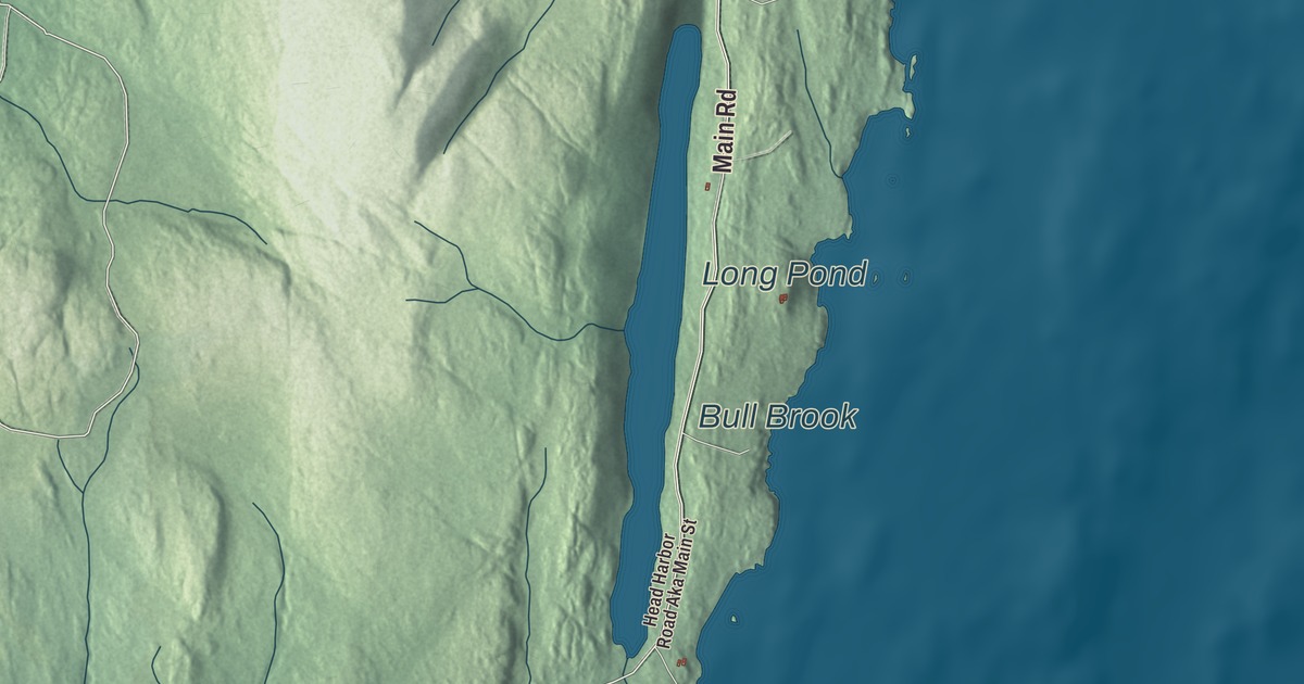
Main Road and Long Pond are good places to begin looking over Isle au Haut. Find the roads you recognize, then take in the buildings and island terrain around them. Click here to purchase a print of this map for your wall.
Isle au Haut is a town in Knox County.
KNOWOL made this map in 2026 using public survey records, United States Geological Survey elevation data and Census Bureau files. We arranged Isle Au Haut’s roads, buildings, ponds and waterways, and terrain, the town boundary and the pattern of buildings with the relief, lettering and layout of an atlas.
An island town
Samuel de Champlain gave Isle au Haut its French name in 1604, meaning High Island. The island later belonged to Deer Isle before becoming a separate town in 1874.
Fishing and boatbuilding were principal occupations here in the nineteenth century. Summer cottages arrived at Point Lookout in the 1880s, and parts of the island later became part of Acadia National Park.
Linda Greenlaw and the light station
Linda Greenlaw spent childhood summers on Isle au Haut and settled here in 1997, buying a lobster boat called Mattie Belle. Her book The Lobster Chronicles describes life on the island, while The Hungry Ocean recounts a swordfishing voyage.
Isle au Haut Light was built at Robinson Point in 1907. Its granite and brick tower stands slightly offshore, joined to the keeper’s house by a catwalk. The tower passed to the town in 1998 and was restored the following year.
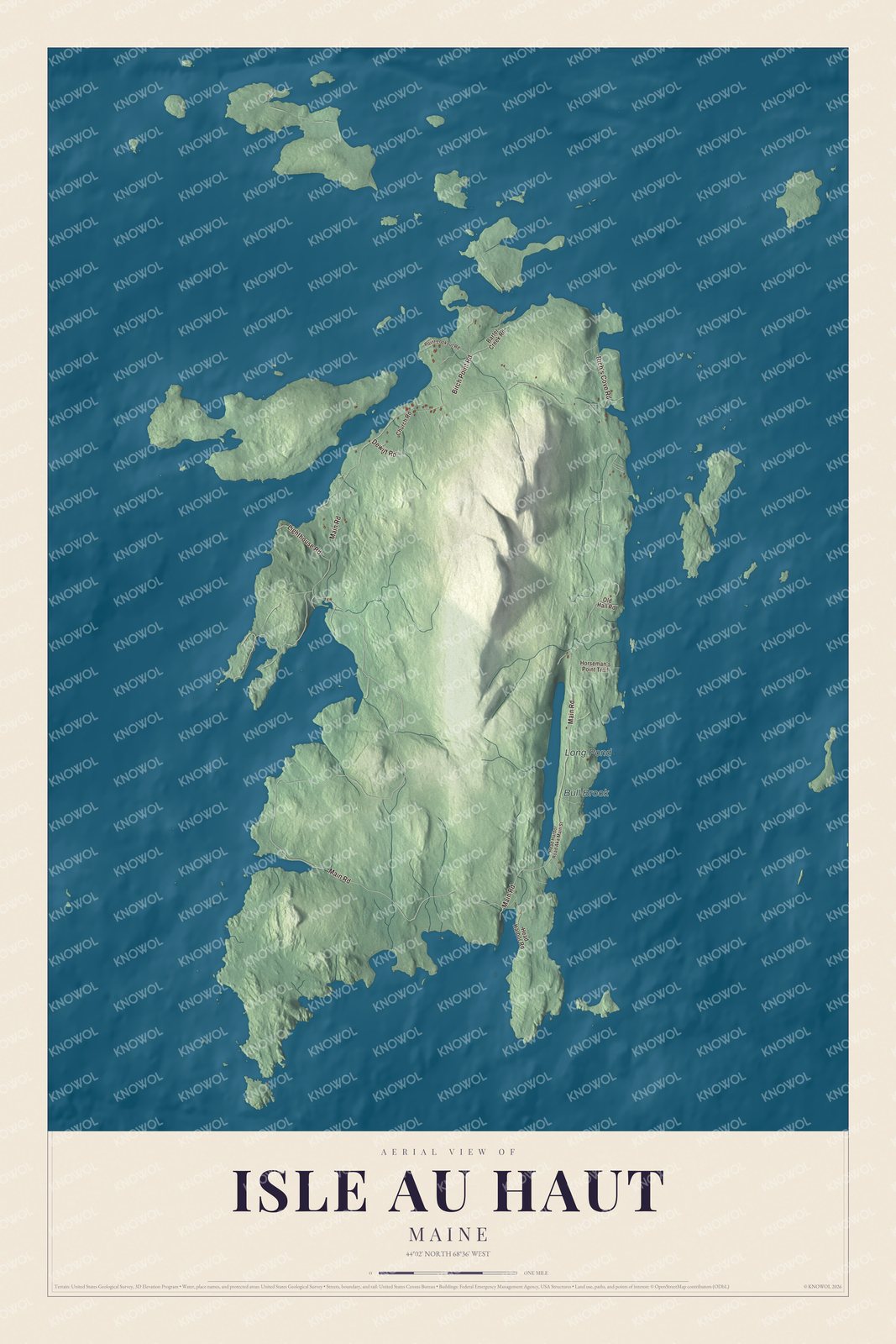
Click to explore a larger preview. The digital watermark does not appear on printed maps.
See it on a wall
The Isle au Haut map as a framed print. Swipe for more.


Explore the Isle Au Haut map
Main Road, Birch Point Road and Rich’s Cove Road are printed on the artwork. Lighthouse Road, Dewitt Road and Barter Creek Road give you more road names to find.
Long Pond and Bull Brook are also labeled. Long Pond lies along the eastern side of the island, a freshwater lake beside the island’s rocky coastal landscape.
This map shows Isle Au Haut as it looks today, made for people who call Isle Au Haut home. Hang it in your office, library, or den, or use it to teach children the geography and history of the area. Zoom in on the preview above to explore the details, then click here to get your copy of the Isle Au Haut, Maine map.

Sources