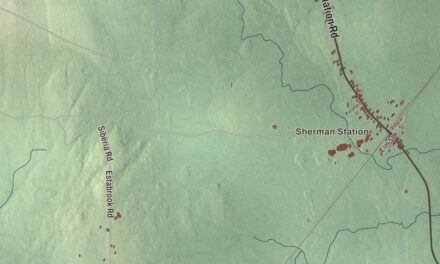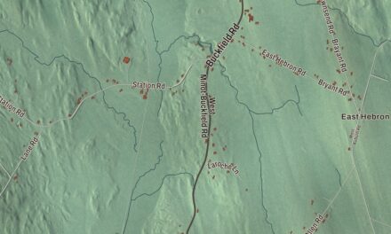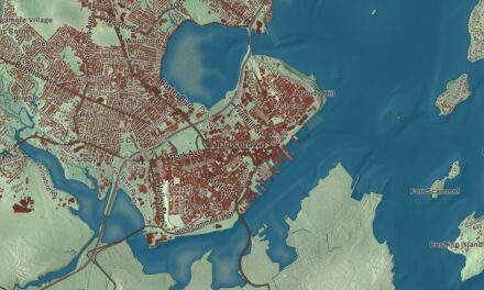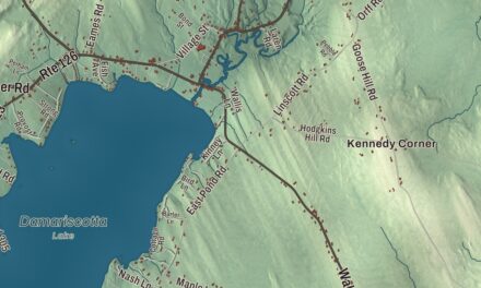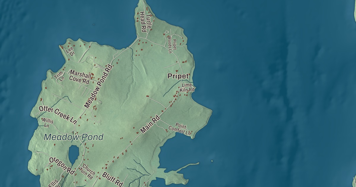
Pripet, Dark Harbor and North Islesboro give you different starting points on this Islesboro map. Look for Meadow Pond, then explore the roads and buildings around the familiar names. Click here to purchase a print of this map for your wall.
Islesboro is a town in Waldo County.
KNOWOL made this map in 2026 using public survey records, United States Geological Survey elevation data and Census Bureau files. We arranged Islesboro’s roads, buildings, neighborhoods, coastline, ponds and waterways, and terrain, the town boundary and the pattern of buildings with the relief, lettering and layout of an atlas.
Long Island and its harbors
Islesboro was once called Long Island Plantation. It incorporated as Islesborough in 1789, and the spelling later shortened to Islesboro.
The town comprises the main island and several smaller islands in Penobscot Bay. The main island has two wider sections joined by an isthmus called The Narrows. Commercial shipping was part of nineteenth-century island life, followed by the development of summer homes and resort communities.
Pripet and Meadow Pond
Pripet has also been known as Warren’s Landing or Beckett’s Landing. It was the site of a kiln and a steamboat wharf; Dark Harbor was another steamboat destination.
Meadow Pond is in the northern part of the island. Beavers dammed a narrow place to form it, and ice harvested from the pond was once exported as far as India.
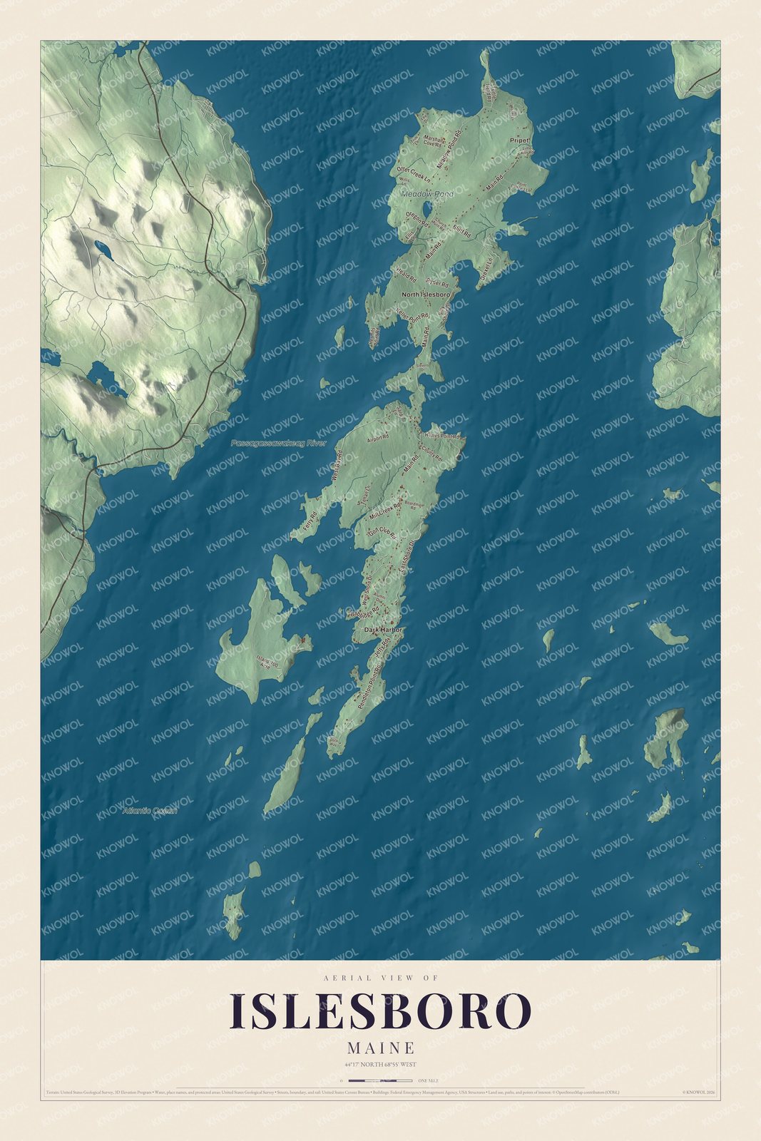
Click to explore a larger preview. The digital watermark does not appear on printed maps.
See it on a wall
The Islesboro map as a framed print. Swipe for more.


Explore the Islesboro map
The road names printed here include Main Road, Pendleton Point Road and Meadow Pond Road. West Bay Road, East Shore Drive and Mill Creek Road offer more points to compare with the buildings and coastline.
Pripet, Dark Harbor and North Islesboro are printed place names. Meadow Pond, Passagassawakeag River and Atlantic Ocean are also labeled on the artwork.
This map shows Islesboro as it looks today, made for people who call Islesboro home. Hang it in your office, library, or den, or use it to teach children the geography and history of the area. Zoom in on the preview above to explore the details, then click here to get your copy of the Islesboro, Maine map.

Sources