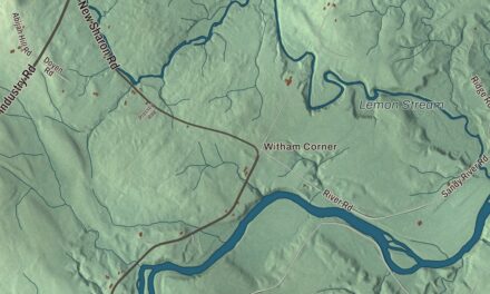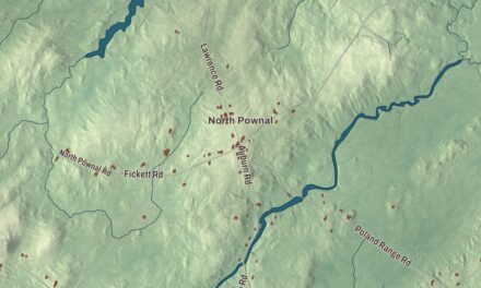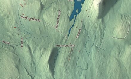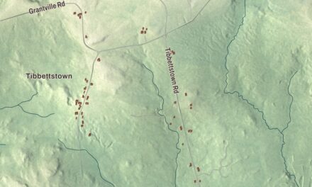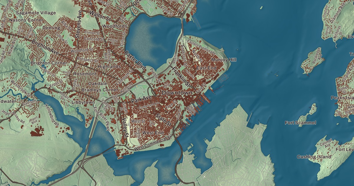
This aerial map of Portland, Maine was created in 2026 using real geographic data to bring the city’s streets, buildings, neighborhoods, and terrain together in one highly detailed view. Look closer and you can pick out the familiar places that make Portland feel like home. Start with the street you know, then see how it connects to the rest of the Portland you call home. Click here to purchase a print of this map for your wall.
Explore an aerial view of Portland, Maine
Start with Downtown and Bradleys Corner. Follow Forest Avenue, Brighton Avenue, Park Avenue, State Street, Congress Street, and Auburn Street across the city. Then look outward toward Brighton Corner, Cliff Island, Cushing Island, Deering, and Deering Junction.
Forest Avenue, Brighton Avenue, Park Avenue, State Street, Congress Street, and Auburn Street are all labeled on the map. Every one of those names is printed directly on the artwork, giving you plenty to explore.
Portland dates to 1786. Portland is a city in Cumberland County. It remains a distinct city in Maine today. Click the image below to see the area as it looked in 2026.
Take a closer look at the Portland map
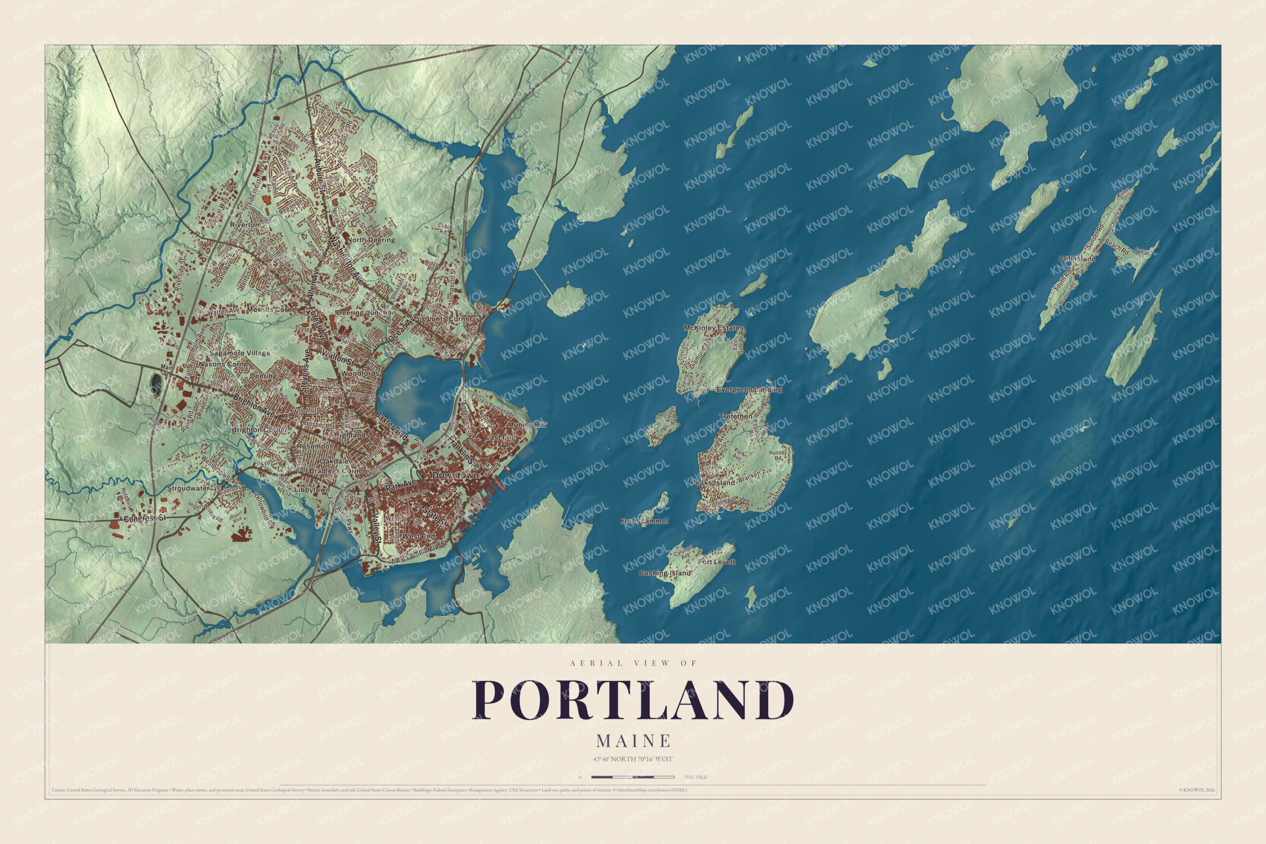
Click to explore a larger preview. The digital watermark does not appear on printed maps.
Names on this map
These names are printed on this map.
Places: Downtown, Bradleys Corner, Brighton Corner, Cliff Island, Cushing Island, Deering, Deering Junction, East End, Evergreen Landing, Fort Levett, Fort Scammel, Highlands, Libbytown, Lunts Corner, McKinley Estates, Morrills Corner, Munjoy Hill, Nasons Corner, North Deering, Oakdale, Peaks Island, Riverton, Rosemont, Sagamore Village, Stroudwater, Trefethen, West End and Woodfords.
Streets and roads: Forest Avenue, Brighton Avenue, Park Avenue, State Street, Congress Street, Auburn Street, Baxter Boulevard, Valley Street, Ocean Avenue, Walton Street, Franklin Street, Washington Avenue.
More street names, A to Z
Abby Lane, Alba Street, Aldworth Street, Alice Street, Allen Avenue, Anderson Street, Avalon Road, Bailey Avenue, Beach Road, Belfort Street, Beverly Street, Brackett Avenue, Bradley Street, Broadway, Brook Road, Calumet Avenue, Canco Road, Capisic Street, Caron Street, Church Road, Clark Street, Clifton Street, Clinton Street, Cobb Road, College Street, Concord Street, Coyle's Lane, Crescent Avenue, Cumberland Avenue, Curtis Road, Davis Farm Road, Deering Avenue, Delaware Court, Dennett Street, Diamond Avenue, Dorset Street, Eastern Promenade, East Side Drive, Eben Hill Drive, Elm Street, Falmouth Street, Fore River Parkway, Fore Street, Free Street, Front Street, Frost Street, Garrison Street, Gilman Street, Harris Avenue, Hennessy Drive, Hersey Street, Hicks Street, Hobart Street, Holm Avenue, Huntington Avenue, Hussey Road, Hutchins Drive, Industrial Way, Island Avenue, Ivy Street, Jetport Access Road, Jetport Boulevard, Lambert Street, Lane Avenue, Lester Drive, Ludlow Street, Luther Street, Maine Avenue, Main Street, Marginal Way, New Island Avenue, Nicholas Street, North Street, Oak Avenue, Olympia Street, Palmer Avenue, Pheasant Hill Drive, Pinecrest Road, Pleasant Avenue, Plymouth Street, Preble Street, Presumpscot Street, Prospect Street, Providence Street, Pya Road, Rand Road, Ray Street, Read Street, Reamer's Road, Redlon Road, Reed Avenue, Regan Lane, Ridge Road, Riverside Court, Riverside Industrial Parkway, Riverside Street, Riverton Drive, Roaring Brook Road, Rockledge Avenue, Rowe Avenue, Rustic Lane, Saint John Street, Seashore Avenue, Sherwood Street, Smith Street, South Road, Spring Avenue, Stevens Avenue, Summit Street, Sunset Road, Taft Avenue, Tee Drive, Tolman Road, Torrey Street, Union Wharf, Vaughan Street, Veranda Street, Virginia Street, Walker Point, Warren Avenue, Washburn Avenue, Westbrook Arterial, Westbrook Street, West Commercial Street, West Street, Woodford Street, Woodside Drive, Yale Street, Yellowbird Road, York Street.
See it on a wall
The Portland map as a framed print. Swipe for more.


We designed the artwork at KNOWOL using Portland’s real streets, buildings, neighborhoods, and terrain, the city boundary, and the way buildings spread across the city. Then we chose the color, relief, lettering, and layout that make the map look great on the wall.
This beautifully detailed map of Portland makes an attractive addition to your office, library, or den and can even be used to teach children the geography and history of the area. When you’re done exploring, click here to get your copy of the Portland, Maine map.