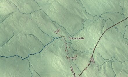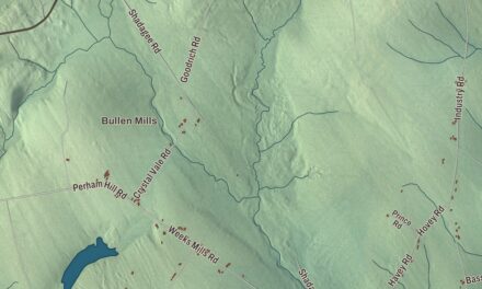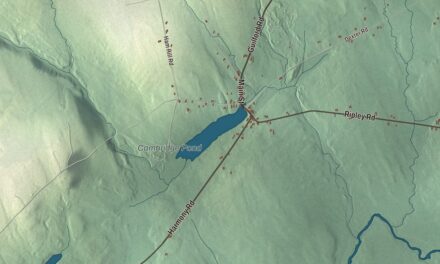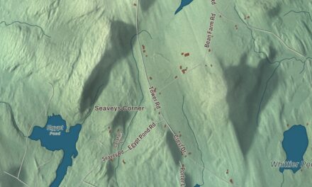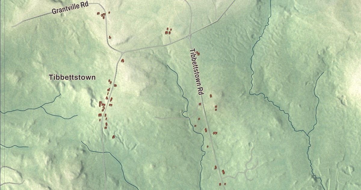
The Pleasant River runs through this map of Columbia Falls, Maine, and Addison Road, Harrington Road and Epping Road carry their names across it. Tibbettstown is printed too, with Tibbetstown Road, Centerville Road and Highlands Road. Click here to purchase a print of this map for your wall.
Columbia Falls is a town in Washington County, with 476 people at the 2020 census.
KNOWOL made this map in 2026 from public survey data and set it in the style of an old atlas. United States Geological Survey elevation data shades the ground along the river, and the Census Bureau supplies the roads and the town line, around 24.67 square miles, only 0.12 of them water.
Named for the falls
The town takes its name from the rapids on the Pleasant River that run through it. The river rises at Pleasant River Lake in Beddington and runs 44.8 miles to Pleasant Bay, reaching the sea between Harrington and Addison. Columbia Falls began as Township 13, which the Massachusetts General Court joined with Township 12 on February 8, 1796, to form the town of Columbia. The two stayed together until March 25, 1863, when Columbia Falls was set off from Columbia and incorporated as its own town.
Lumbering and shipbuilding brought the town prosperity, and the money shows in its houses. John Bucknam, who came in the 1760s and was one of the area’s first settlers, built a sawmill, served in the militia during the Revolution, and in 1792 built the late Georgian house on Main Street that still faces the river. His grandson Samuel apparently inherited the family’s lumber mill and shipyard on the Pleasant River, and he had his own Cape built on Main Street beginning in 1820. It’s counted among the state’s finest Federal-period Capes, and its main parlor still has its original wallpaper. The Washington County Railroad reached Columbia Falls in 1898.
The Ruggles House, at 146 Main Street, went up between 1818 and 1820 for Thomas Ruggles, a shipbuilder, sawmill owner, militia captain and postmaster. The housewright Aaron Sherman and the woodcarver Alvah Peterson built it, and its showpiece is a flying staircase that rises free in the center of the hall to a landing, where it turns back on both sides with no visible support. Ruggles descendants owned it until 1920. Mary Ruggles Chandler, the first licensed pharmacist in Maine, helped restore it in the 1930s, and it’s been a museum since 1951.
Across the village stand two more landmarks. The Greek Revival Union Church served as a church until 1902 and then as the town hall until 1987, and it now holds the town library and archives. Columbia House, also called the Gowen Wilson Tavern, was probably built about 1834 and served as the town’s only hotel until about 1882. Its register records a leap year party in 1868, held on the old custom that let women ask men to dance, and even propose. All five buildings are on the National Register of Historic Places.
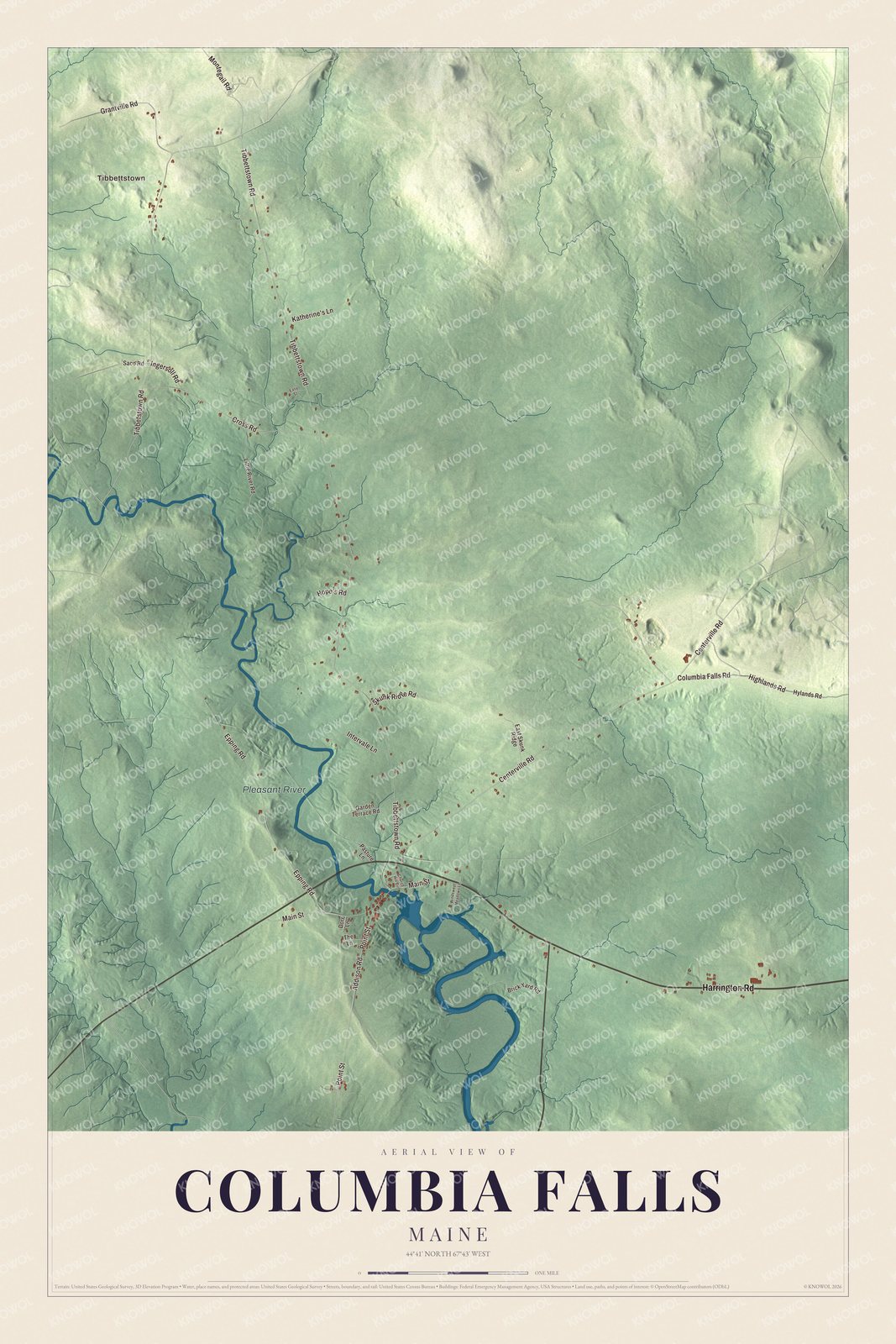
Click to explore a larger preview. The digital watermark does not appear on printed maps.
See it on a wall
The Columbia Falls map as a framed print. Swipe for more.


Around Columbia Falls
U.S. Route 1 crosses the town, and State Route 187 begins here. It’s a V-shaped road that meets Route 1 at both ends, in Columbia Falls and in Jonesboro, and it’s the through route to Jonesport. The town’s page lists a series of Pledge of Allegiance plaques along Route 1 and the Wild Blueberry Heritage Center among its sites. Tourism and blueberry harvesting are important industries today, along with Christmas trees and wreaths.
Addison Road is printed on the map, and so are Harrington Road and Epping Road. The Ruggles House stands just north of where Addison Road meets Main Street, and the Union Church sits a tenth of a mile northeast of that same junction. Tibbettstown is printed, and so are Tibbetstown Road, Centerville Road and Highlands Road. The Pleasant River is labeled on the map.
The town also claims a ballplayer, Irv Young, a pitcher nicknamed “Young Cy” who went 20 and 21 for a Boston team that lost 103 games in 1905. He’s one of only two pitchers since 1900 to win 20 games for a team that lost 100.
This Columbia Falls map makes a handsome addition to an office, library or den, and it can help teach children the geography and history of the area. It’s made for everyone who calls Columbia Falls home, from Tibbettstown to the Pleasant River, as it looks today. Zoom in on the preview above to explore the details, then click here to get your copy of the Columbia Falls, Maine map.

Sources
- Columbia Falls, Maine, Wikipedia
- Pleasant River (Pleasant Bay), Wikipedia
- Bucknam House, Wikipedia
- Samuel Bucknam House, Wikipedia
- Ruggles House (Maine), Wikipedia
- Union Church (Columbia Falls, Maine), Wikipedia
- Columbia House (Columbia Falls, Maine), Wikipedia
- National Register of Historic Places listings in Washington County, Maine, Wikipedia
- Maine State Route 187, Wikipedia
- Irv Young, Wikipedia