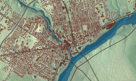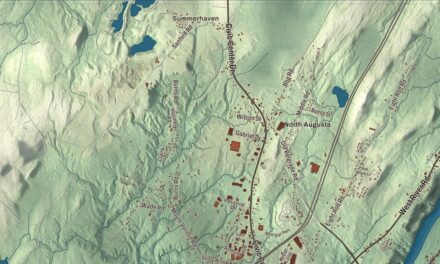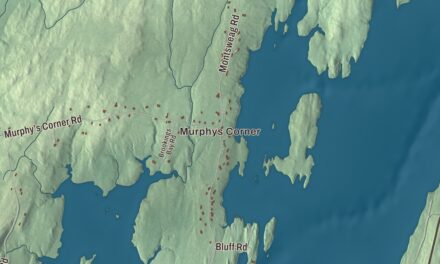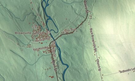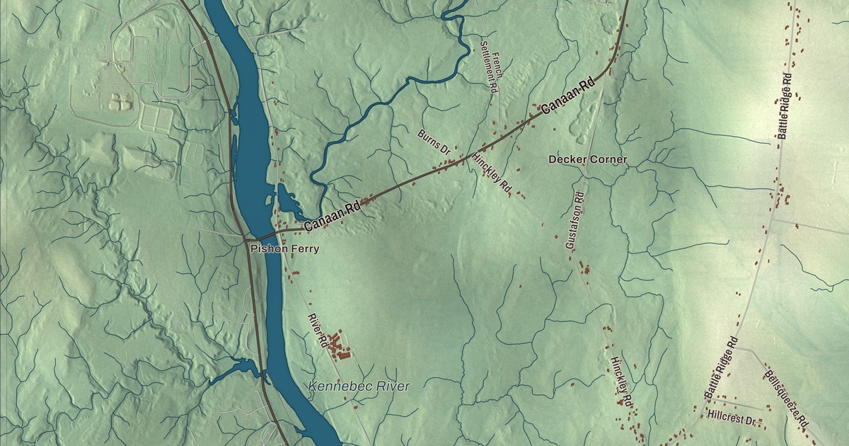
If Clinton is home, you’ll find Main Street, Bangor Road and Canaan Road on this map of Clinton, Maine, along with Pishon Ferry and the Sebasticook River. Johnson Flat Road, Mutton Lane and McNally Road are printed too, and so are Decker Corner, Dixon Corner and Morrison Corner. Click here to purchase a print of this map for your wall.
Clinton is a town in Kennebec County, with 3,370 people at the 2020 census.
KNOWOL made this map in 2026 from public survey data, in the style of an old atlas sheet. United States Geological Survey elevation data gives the land its relief, and the Census Bureau provides the roads and the town line, with 44.79 square miles inside it, 0.92 of them water.
Two Clintons and a dairy town
Clinton was incorporated in 1795, while Maine was still part of Massachusetts, and it became Clinton, Maine, on March 15, 1820, when Maine became a state. Its namesake depends on which line of its history you read. One line credits New York Governor DeWitt Clinton. The town’s history section says Clinton was apparently named for George Clinton, the Revolutionary War general who became the first governor of New York and later vice president, and it points out that DeWitt, his nephew, was born in 1769 and didn’t hold his first elected office until 1799.
Clinton’s motto is “Dairy Capital of Maine,” and the town’s page backs it with a figure: 13% of Maine’s milk production comes from seven Clinton farms covering 3,778 acres. Fedco Seeds is based here too. C. R. Lawn started it in 1978, during the back-to-the-land movement, and it grew into a major supplier of vegetable seeds, with varieties picked for northern growers and short seasons. It’s a cooperative, owned 60% by its customers and 40% by its workers.
The Brown Memorial Library, at 53 Railroad Street in the village, was the town’s first public library. William W. Brown gave the land, the money to build it, a first collection of books and a small endowment, in honor of his parents. The Portland architect John Calvin Stevens designed it in the Richardsonian Romanesque style, with pink granite walls and red sandstone trim, and it was finished in 1900. Its own history calls it one of the state’s purest expressions of that style as applied to a library, and it joined the National Register of Historic Places in 1975.
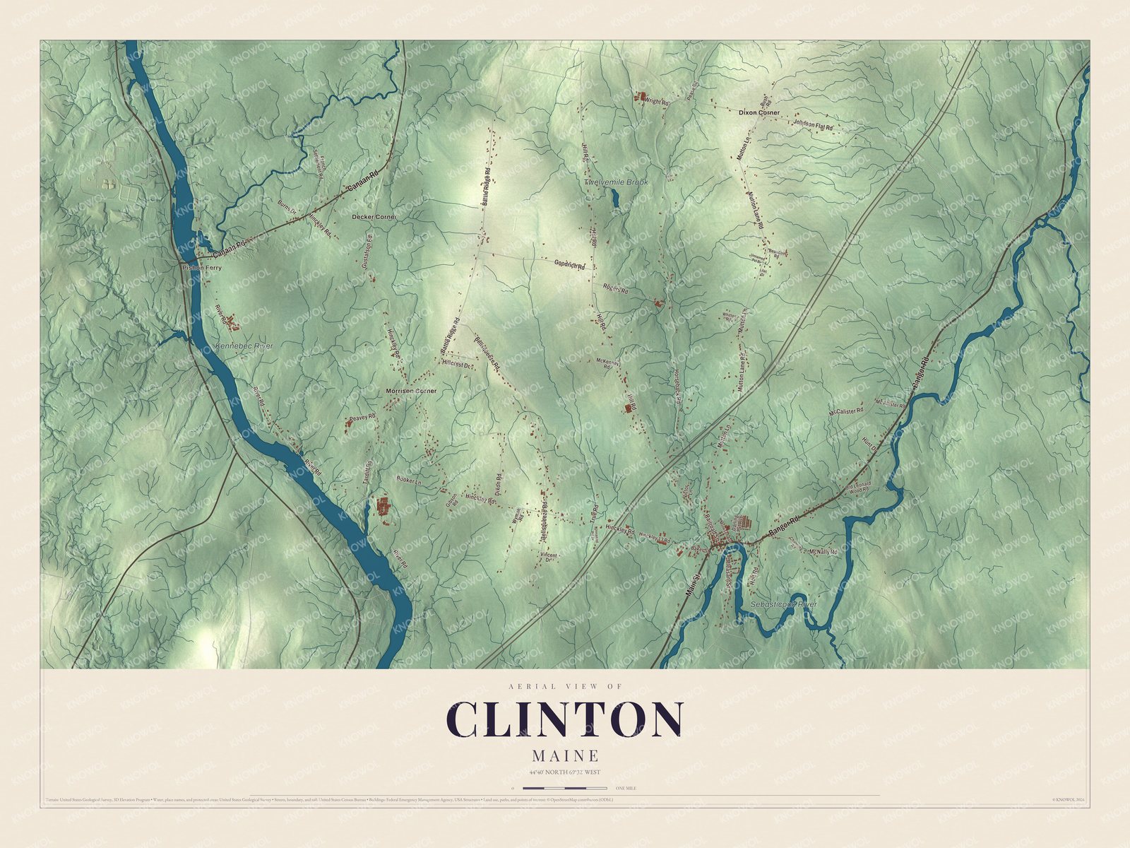
Click to explore a larger preview. The digital watermark does not appear on printed maps.
See it on a wall
The Clinton map as a framed print. Swipe for more.


Where the roads meet the river
Clinton is the northernmost town in Kennebec County. Skowhegan and Canaan lie to the north, Pittsfield to the northeast, Burnham to the east, Benton to the south and Fairfield to the west. Interstate 95 crosses the town, and so do State Routes 11, 100 and 23. The village sits in the southeast part of town, on the north bank of the Sebasticook River, which flows southwest to the Kennebec. The Sebasticook Regional Land Trust calls it the largest tributary of the Kennebec, and the river runs 41 miles south from Great Moose Lake in Hartland to meet it at Winslow.
Main Street, Bangor Road and Canaan Road are printed on the map, along with Johnson Flat Road, Mutton Lane and McNally Road. Pishon Ferry is printed, and so are Decker Corner, Dixon Corner and Morrison Corner. Twelvemile Brook, the Sebasticook River and the Kennebec River are all labeled on the map. Morrison Corner is one of the town’s two villages, the other being Clinton itself.
This map of Clinton makes a fine addition to an office, library or den, and it can help teach children the geography and history of the area. It’s made for everyone who calls Clinton home, from Pishon Ferry to Morrison Corner, as it looks today. Zoom in on the preview above to explore the details, then click here to get your copy of the Clinton, Maine map.

Sources