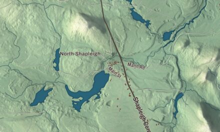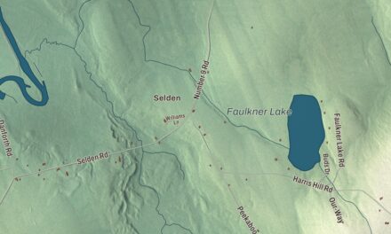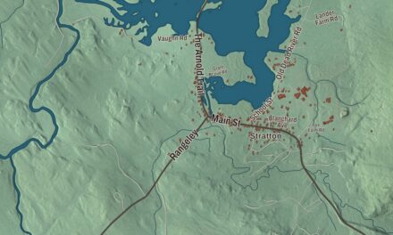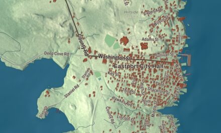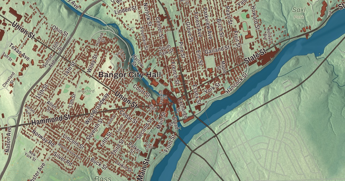
Bangor is the Queen City, the old lumber port at the head of the tide on the Penobscot. This map prints Bangor City Hall and West Bangor, Main Street, Union Street, Hammond Street, State Street, Broadway and Odlin Road, and Six Mile Falls, North Bangor, East Bangor and Stillwater Avenue. Click here to purchase a print of this map for your wall.
Bangor is a city in Penobscot County, and it had 31,753 people at the 2020 census.
KNOWOL made this map in 2026 from public survey data and gave it the look of an old atlas. The shaded terrain comes from United States Geological Survey elevation data, and the roads and the city line come from the Census Bureau, which counts 34.59 square miles here, 34.26 of them land. Bangor is the county seat and Maine’s third largest city, after Portland and Lewiston. Kenduskeag Stream runs through downtown, dropping 100 feet in two miles before it meets the Penobscot between the city’s two downtown bridges.
Kenduskeag Plantation to the Queen City
The Penobscot people have lived around Bangor for at least 11,000 years, and they still hold tribal land on Indian Island nearby. European settlement began in 1769, when Jacob Buswell founded a community here. By 1772 twelve families lived alongside a sawmill, a store and a school, and by 1787 there were 567 people. First called Sunbury or Kenduskeag Plantation, the town was incorporated as Bangor in 1791, a name said to come from a Welsh hymn tune, and it became a city in 1834.
Bangor sits where the Penobscot’s rapids meet the tide, at the head of navigation. Logs cut in the North Woods were driven down the river in the spring melt to water-powered sawmills above the city, and the lumber was shipped from Bangor’s docks to East Coast cities, the Caribbean and California. By 1860 the city page calls it the world’s largest lumber port, with 150 sawmills along the river, and 3,300 lumber ships passed its docks that year alone. The money built the mansions that helped give Bangor its name as the Queen City of the East. The city page counts the 31-foot statue of Paul Bunyan, made by Normand Martin in 1959, among the reminders of those years.
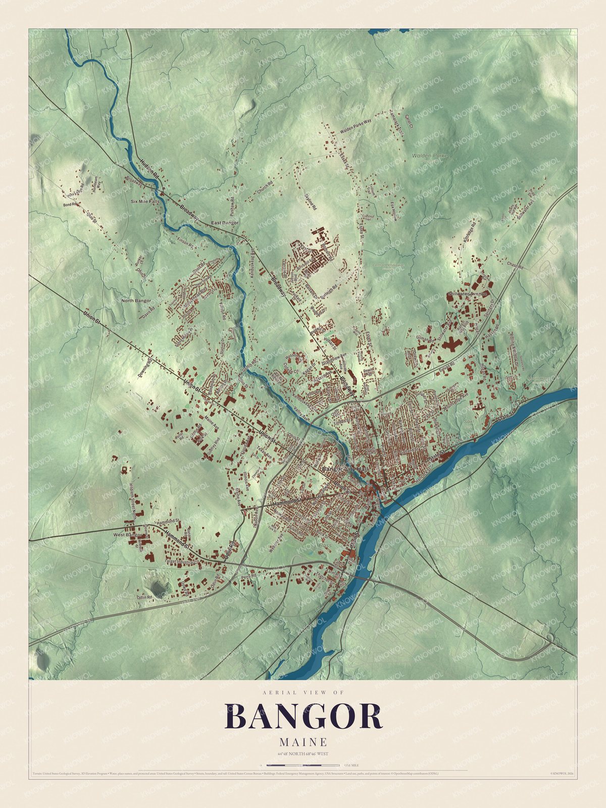
Click to explore a larger preview. The digital watermark does not appear on printed maps.
See it on a wall
The Bangor map as a framed print. Swipe for more.


Broadway, State Street and Main Street
Broadway is printed on the map. In the 1820s and 1830s it was laid out on the model of Boston’s Beacon Hill, with a green strip and a double row of elms down the middle, and the lumber barons built along it, first in brick and then in big wooden mansions in every style into the early 1900s. It’s now the Broadway Historic District, bounded by Garland, Essex, State, Park and Center streets.
State Street is printed too. Mount Hope Cemetery was laid out along it in 1834, when State Street was known as the County Road, designed by Charles G. Bryant on the model of Boston’s Mount Auburn. Its page calls it the second oldest garden cemetery in the United States. Hannibal Hamlin, Lincoln’s first vice president, is buried there along with four governors of Maine, eight Civil War generals and many of the lumber barons. Main Street and Union Street are printed as well. At their southeast corner stands the Bangor House, built in 1833 and 1834 by local businessmen who wanted a hotel to match Boston’s Tremont House. The city page says it’s the only survivor of the “Palace Hotels” designed by Isaiah Rogers, and it now holds apartments.
Hammond Street is printed on the map. On its south side between High and North High streets, the Hammond Street Congregational Church was built in 1833 and remade in 1853 by the Boston firm Towle and Foster into the Italianate church that stands there now. Odlin Road is printed too, and so is Bangor City Hall.
Up on Thomas Hill, northwest of downtown, the Thomas Hill Standpipe has held the city’s water since 1897, a wrought iron tank inside a shingled wooden tower, and the lights around its top are sometimes called “the crown on the Queen City.” The Bangor Public Library, rebuilt after the Great Fire of 1911 to designs by Peabody and Stearns, grew a new wing in 1997 thanks to Stephen and Tabitha King. King’s home is the William Arnold House of 1856, an Italianate mansion whose iron fence of bats and spider webs he added himself, and the library keeps the couch on which Hannibal Hamlin died in 1891.
This Bangor map makes a handsome addition to an office, library or den, and it can teach children the geography and history of the Queen City on the Penobscot. It’s made for anyone who calls Bangor home, from West Bangor to East Bangor, as it looks today. Zoom in on the preview above to explore the details, then click here to get your copy of the Bangor, Maine map.

Sources
- Bangor, Maine, Wikipedia
- Kenduskeag Stream, Wikipedia
- Broadway Historic District (Bangor, Maine), Wikipedia
- Mount Hope Cemetery (Bangor, Maine), Wikipedia
- Bangor House, Wikipedia
- Hammond Street Congregational Church, Wikipedia
- Thomas Hill Standpipe, Wikipedia
- Bangor Public Library, Wikipedia
- Hannibal Hamlin, Wikipedia