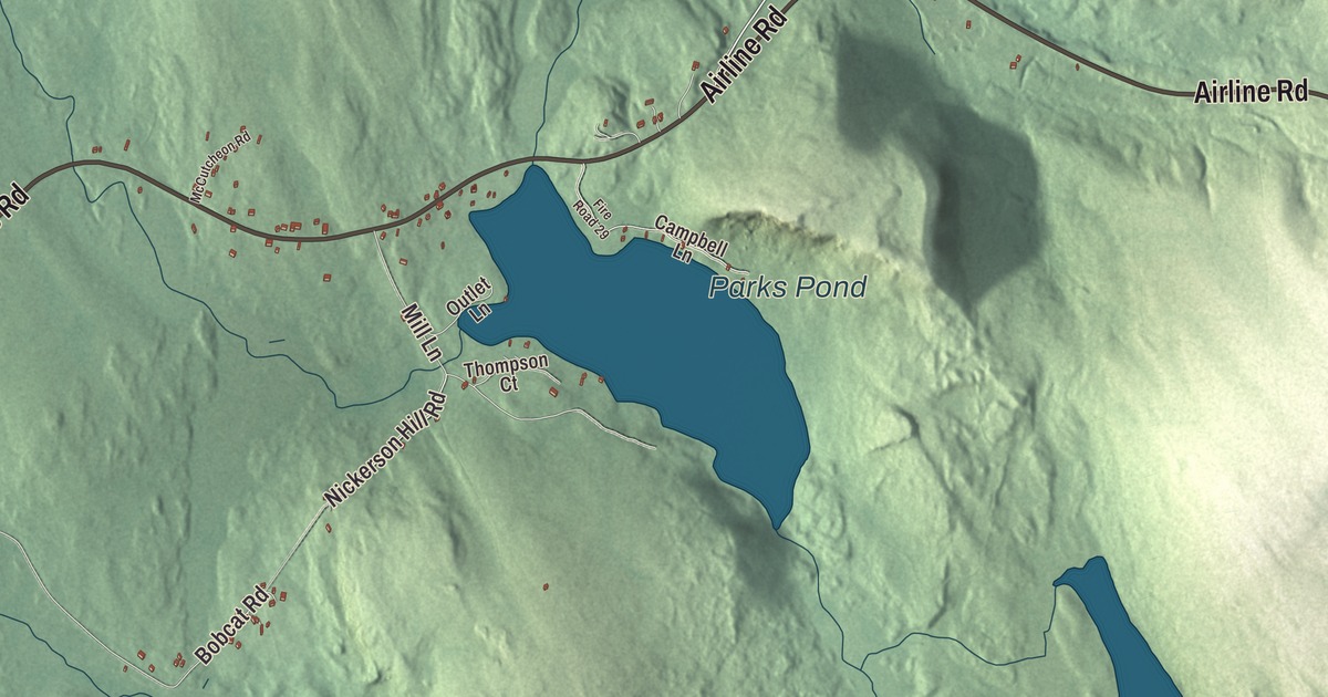
If you’re from Clifton, look first for Airline Road and Rebel Hill Road, which both carry their names across this map of Clifton, Maine. Bradbury Brook Road, Nickerson Hill Road, Bangor Water Works Road and Springy Pond Road are printed too, and so are Parks Pond and Fitts Pond. Click here to purchase a print of this map for your wall.
Clifton is a town in Penobscot County, with 840 people at the 2020 census.
KNOWOL made this map in 2026, building it from public survey data and finishing it in the manner of an old atlas. Its relief comes from United States Geological Survey elevation data, and its roads and town line come from the Census Bureau, which counts 35.90 square miles in Clifton, 1.37 of them water.
The museum on Rebel Hill Road
Clifton was incorporated in 1848, at first under the name Maine, and it’s part of the Bangor metropolitan area today. Two of its old public buildings stand side by side at 15 Rebel Hill Road, State Route 180, a short way south of where it meets State Route 9. Cliffwood Hall went up in 1892, built by a group of residents as a place for social and cultural events, and it later served the town for nearly 90 years as its town hall, with town meetings and elections held there. Beside it stands the Harold Allan School, a one-room schoolhouse built in 1863. It first stood on Route 9, about a mile east of the Eddington line, and was moved to this spot in 1912. By 1915 it was one of only two schools left in town, and it kept teaching until 1966, when Clifton’s schools joined a district with other towns. It’s the best-preserved district schoolhouse left in Clifton.
The Clifton Historical Society took over both buildings in 1999. The hall now houses the society’s museum, known as the Clifton Town Hall Museum, and its exhibits include the old town hearse. Both buildings were listed on the National Register of Historic Places in 2008.
Clara Louisa Penney was born in Clifton in 1888 and became a curator of manuscripts and rare books at the Hispanic Society of America in New York, where she worked for more than 50 years. She catalogued the society’s Spanish books and manuscripts, traveled to Spain to study them, and in 1938 brought out her catalogue of the society’s books from 1601 to 1700. She came back to Clifton in the summers, to the house she grew up in, to garden and look after the birds.
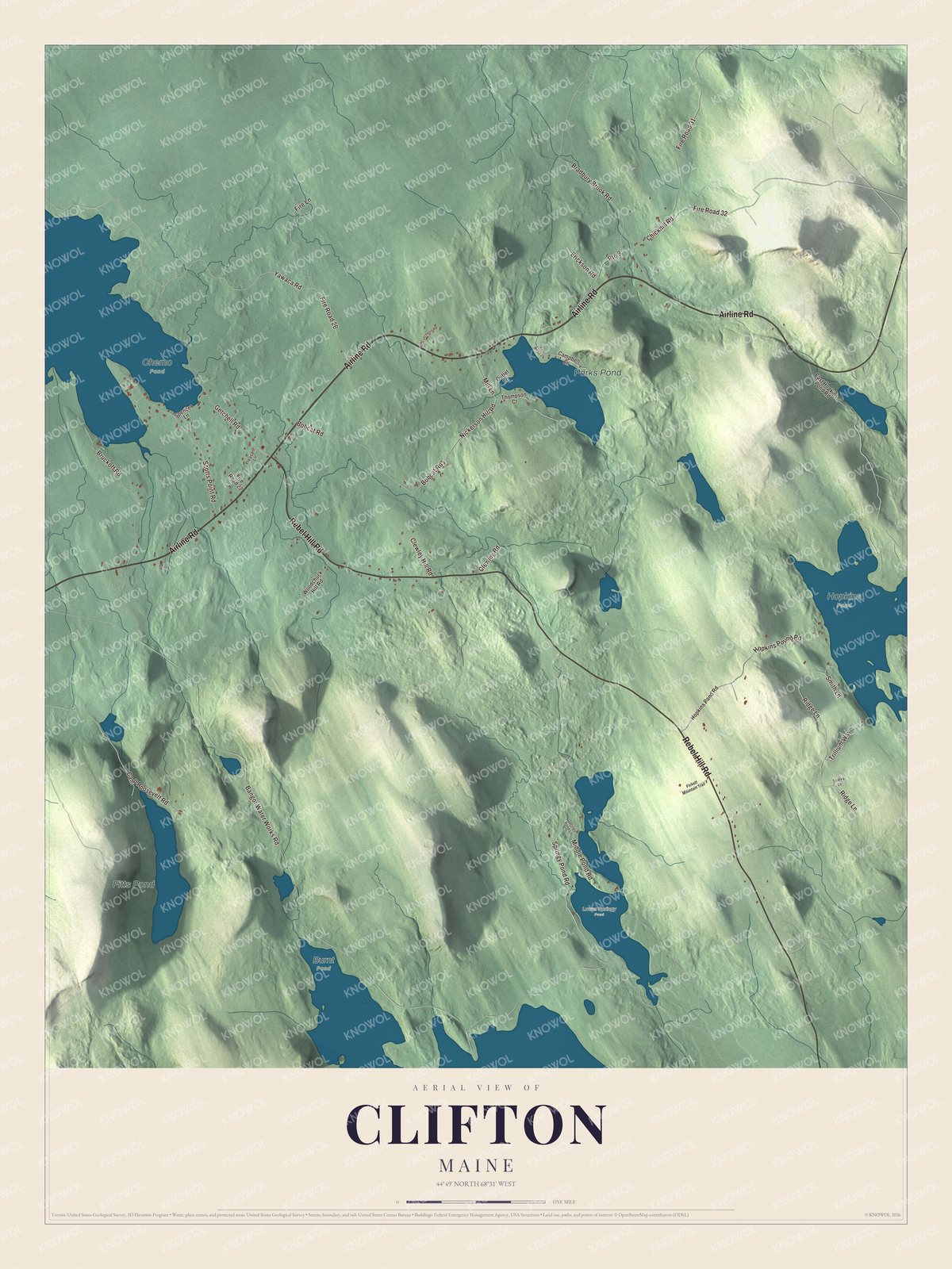
Click to explore a larger preview. The digital watermark does not appear on printed maps.
See it on a wall
The Clifton map as a framed print. Swipe for more.


Along the Airline
Route 9 crosses Clifton on its way from Bangor to Calais, and that leg of the highway has been called “The Airline” since the early 1850s. The name set it apart from the shoreline route, and in those days a shortcut was often called an airline. The last section of the Airline was paved in 1973, in Crawford.
Airline Road and Rebel Hill Road are printed on the map. Bradbury Brook Road, Nickerson Hill Road, Bangor Water Works Road and Springy Pond Road are printed as well, and Parks Pond and Fitts Pond are labeled on the water.
This map of Clifton makes a good addition to an office, library or den, and it can help teach children the geography and history of the area. It’s made for everyone who calls Clifton home, from Rebel Hill Road to Fitts Pond, as it looks today. Zoom in on the preview above to explore the details, then click here to get your copy of the Clifton, Maine map.

Sources