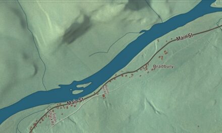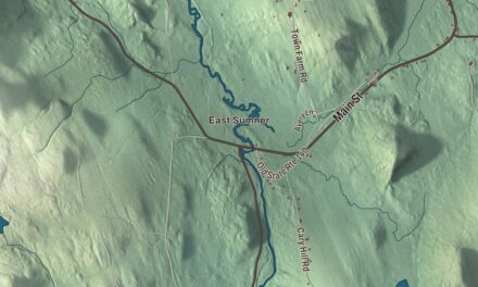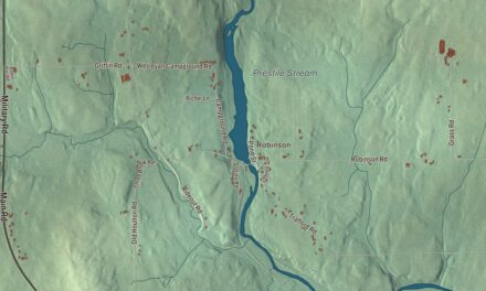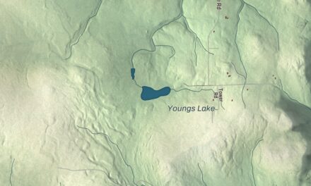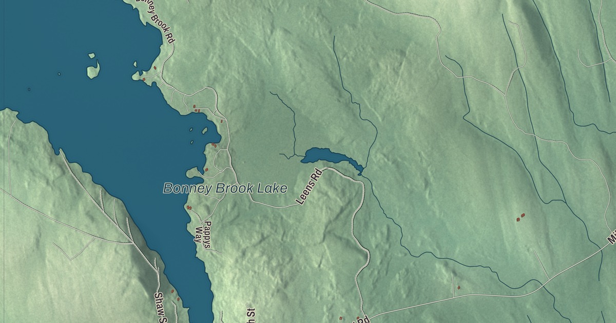
Shaw Street and Water Street give this Grand Lake Stream map a familiar starting point. Big Lake and the other printed water names help you explore beyond the roads. Click here to purchase a print of this map for your wall.
Grand Lake Stream is a plantation in Washington County.
KNOWOL made this map in 2026 from public survey records, combining modern geography with the look of a vintage atlas. United States Geological Survey elevation data shapes the terrain, and Census Bureau files supply the roads and municipal boundary. Buildings, ponds and waterways complete the aerial view.
Fishing and wooden canoes
Grand Lake Stream takes its name from the stream running through the community. Landlocked salmon fishing here has a tradition reaching back to the middle of the nineteenth century. Local makers also have a tradition of building wooden canoes for use on nearby West Grand Lake.
Grand Lake Stream Plantation was organized on February 11, 1897, and the 2020 census counted 125 residents. Visitors come seasonally for fishing and other outdoor pursuits. Lodges, cabins and guiding services are part of the community’s town profile, alongside a local land trust managing nearby forests and wetlands.
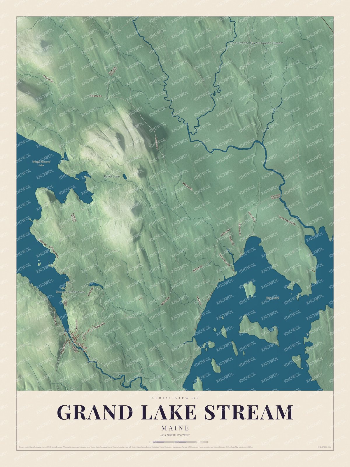
Click to explore a larger preview. The digital watermark does not appear on printed maps.
See it on a wall
The Grand Lake Stream map as a framed print. Swipe for more.


Exploring the Grand Lake Stream map
Shaw Street, Little River Road, Milford Road and Water Street carry printed names. Amazon Road and Leens Road are named as well. Start with a road you know, then explore its place among the plantation’s other roads and building patterns.
Bonney Brook Lake, Pond Lake, East Branch Big Musquash Stream and Big Lake are printed on the artwork. The roads, waterways, terrain and municipal boundary form one aerial view. That geography provides a setting for the community’s fishing and canoe-building traditions.
For people who call Grand Lake Stream home, the map brings familiar roads and places together as it looks today. Hang it in an office, library or den, or use it to teach children the geography and history of the area. Zoom in on the preview above to explore the details, then click here to get your copy of the Grand Lake Stream, Maine map.

Sources