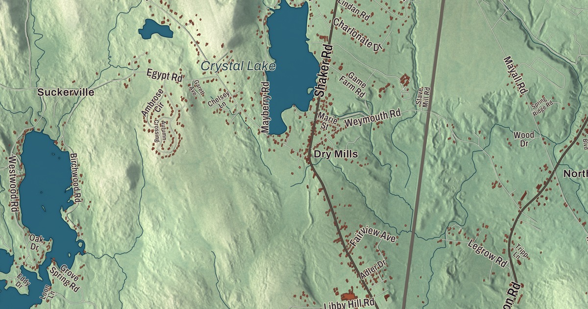
Dry Mills and East Gray give you two places to begin on this Gray map. Little Sebago Lake, Forest Lake and Crystal Lake bring the town’s lake geography into view. Click here to purchase a print of this map for your wall.
Gray is a town in Cumberland County.
KNOWOL made this map in 2026 from public survey records, combining modern geography with the look of a vintage atlas. United States Geological Survey elevation data shapes the terrain, and Census Bureau files supply the roads and municipal boundary. Buildings, ponds and waterways complete the aerial view.
A woolen mill on Collyer Brook
Gray’s town history places incorporation in 1778 and connects the name to proprietor Thomas Gray. Farms, quarries and mills became parts of the local economy. The town’s population was 8,269 at the 2020 census.
Samuel Mayall established a water-powered woolen mill on Collyer Brook in 1791. His daughters Mary and Phanela took over after his death in 1831 and built the Lower Mill in 1834. The business closed in 1902, and ruins of the mill structures remain.
Reuben Ruby and the work of freedom
Reuben Ruby was born in Gray in 1798. He later ran a carriage business in Portland and helped people seeking freedom travel through the Underground Railroad. He was also involved in founding Portland’s Abyssinian Meeting House.
Ruby sold copies of Freedom’s Journal, an African American newspaper, in 1827. He hosted abolitionist William Lloyd Garrison in Portland in 1832 and took part in anti-slavery organizations. His work belongs to Portland’s history as well as the life of a man born here in Gray.
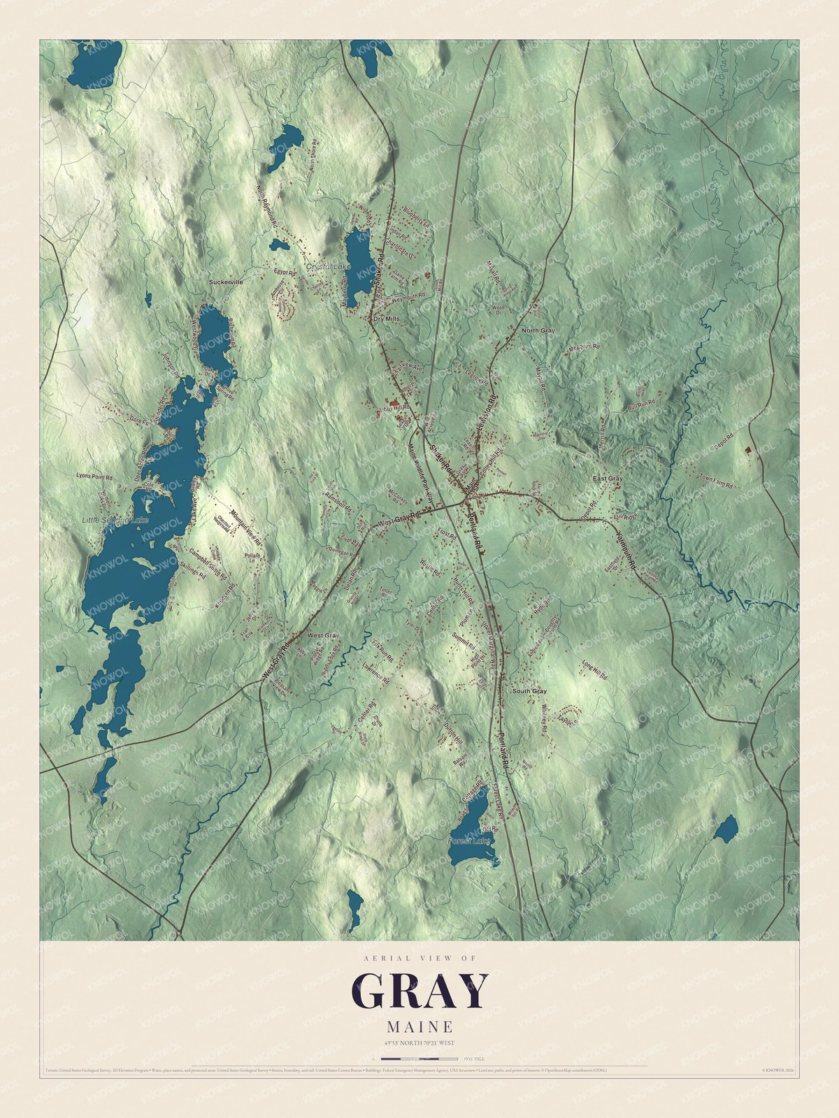
Click to explore a larger preview. The digital watermark does not appear on printed maps.
See it on a wall
The Gray map as a framed print. Swipe for more.


Exploring the Gray map
Find Dry Mills and East Gray, then look for North Gray, South Gray, Suckerville and West Gray. West Gray Road, Portland Road, Shaker Road, Yarmouth Road, Lewiston Road and Center Road are printed by name.
Little Sebago Lake, Forest Lake and Crystal Lake are all named on the map. Gray has frontage on each of them. Together with the roads and building patterns, the lakes give you a way to explore the town’s present geography.
For people who call Gray home, the map brings familiar roads and places together as it looks today. Hang it in an office, library or den, or use it to teach children the geography and history of the area. Zoom in on the preview above to explore the details, then click here to get your copy of the Gray, Maine map.

Sources