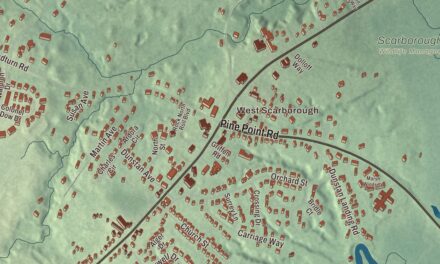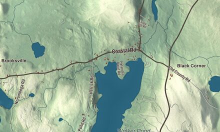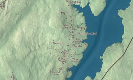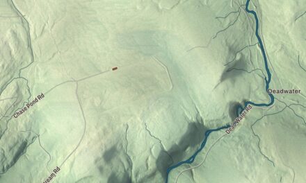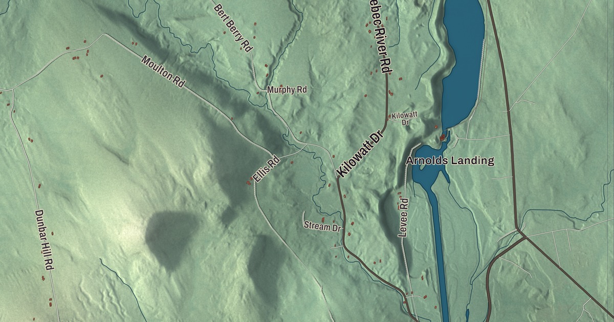
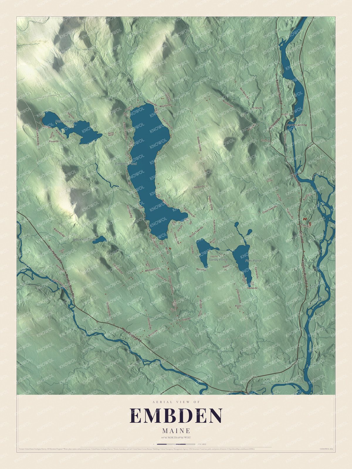
Embden Pond and Embden Pond Road are the first names to look for on this map of Embden, Maine. Kennebec River Road, Solon Road and New Portland Road are here too, with Arnolds Landing, Hancock Pond, Fahi Pond and Sandy Pond. Click here to purchase a print of this map for your wall.
Embden is a town in Somerset County, with 902 people at the 2020 census.
KNOWOL made this map in 2026 from public survey data and gave it the look of an old atlas. The Census Bureau measures the town at 43.49 square miles, 3.91 of them water, and its files give the roads and the town line. United States Geological Survey elevation data shades the ground, which has a listed elevation of 456 feet.
A town house on Cross Town Road
Embden was settled in 1779 and incorporated in 1804. For years its town meetings moved among private homes and schoolhouses. Talk of a proper meeting place began in 1832, but the town didn’t vote the money until 1847, and the next year Elisha Walker built the Embden Town House on Cross Town Road, near Perkins Road, for $250.15. It’s a plain one-story building with benches around three walls and a seat for the selectmen at the fourth, and it has changed little inside. Town meetings are still held there, though the town offices moved to a newer building at 809 Embden Pond Road. The Town House was listed on the National Register of Historic Places in 1989.
Carvings above the Kennebec
On a ledge above the Kennebec River at Embden, the Hodgdon Site holds rock carvings made centuries before Europeans arrived, in country the Norridgewock controlled at the time of contact. They show human figures and an unusual post-and-beam structure topped with arcs, which is thought to stand for the house a French Jesuit priest, Father Sébastien Rale, built at Norridgewock in 1722. Members of Benedict Arnold’s expedition to Quebec wrote about the carvings in 1775, and a local resident, E. W. Moore, photographed them in 1894. Part of the ledge was later dynamited to help log drives down the river, but the photographs suggest the artwork survived. The site was listed on the National Register in 1980.
Click to explore a larger preview. The digital watermark does not appear on printed maps.
See it on a wall
The Embden map as a framed print. Swipe for more.


Embden’s own
Two men born in Embden made their marks in industry and science. John B. Pierce was born in Embden in 1844, opened a store in Buffalo, New York, and in 1881 founded the Pierce Steam Heating Company, which in 1892 became part of the American Radiator Company. When he died in 1917 he left company stock to more than 400 friends and employees, and his will led to the John B. Pierce Foundation. James Leon Williams was born in a farmhouse in northern Embden and trained as a dentist, but he turned to research, studying how tooth enamel forms and how bacteria affect it, and he made advances in dental prosthetics. In 1915 he built Concord Haven, a Colonial Revival summer house between Route 16 and the Kennebec, across the road from his birthplace, designed by the Portland firm of John Calvin Stevens and his son John Howard Stevens. When it was listed on the National Register in 1992, it was the only major architect-designed building in Embden.
Around Embden
Embden Pond Road and Kennebec River Road are printed on the map, and so are Solon Road, Meadow Brook Road, New Portland Road and Kilowatt Drive. Arnolds Landing is printed too, and Embden Pond, Hancock Pond, Fahi Pond and Sandy Pond are labeled on the map. The smaller roads and lanes are drawn in as well.
This Embden map makes a fine addition to an office, library or den, and it can help teach children the geography and history of the area. It’s made for everyone who calls Embden home, from Embden Pond to the Kennebec, as it looks today. Zoom in on the preview above to explore the details, then click here to get your copy of the Embden, Maine map.

Sources