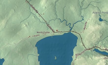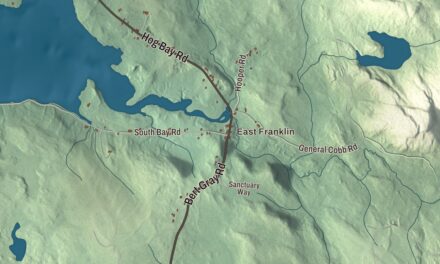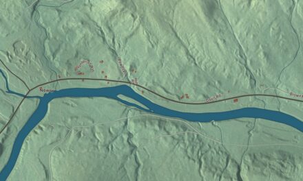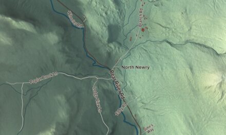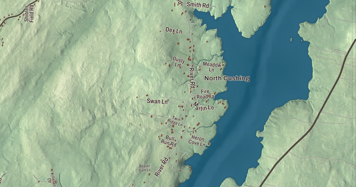
North Cushing, Pleasant Point and South Cushing are the village names to find on this map of Cushing, Maine. Cushing Road, River Road, Spear Mill Road, Pleasant Point Road, Prior Lane and Stones Point Road tie the villages together, and Fresh Pond is there too. Click here to purchase a print of this map for your wall.
Cushing is a town in Knox County, with 1,502 people at the 2020 census.
KNOWOL made this map in 2026 from public survey data and gave it the look of an old coastal atlas. The Census Bureau measures the town at 26.05 square miles, 6.81 of them water, and its files give the roads and the town line. United States Geological Survey elevation data shades the land.
Between two rivers
Cushing lies on Muscongus Bay between the Meduncook River to the west and the St. George River to the east, and it takes in Gay Island. Friendship borders it to the west, Warren and Thomaston to the north, and South Thomaston and St. George across the St. George River to the east. State Route 97 passes through on its way from Friendship to Warren. The town’s villages are North Cushing, Cushing, South Cushing and Pleasant Point.
The land was part of the Waldo Patent and was first called the Lower Plantation of St. Georges, reaching across both sides of the St. George River. It was first permanently settled in 1733 by Scots and Irish families recruited from Ireland by Brigadier-General Samuel Waldo, who offered each household 100 acres. Captain Benjamin Burton built a stone blockhouse, Burton’s Fort, in 1753, and the Benjamin Burton Garrison Site is on the National Register today. Cushing dates to 1789: it was incorporated on January 28 of that year and named for Thomas Cushing, the Massachusetts statesman and lieutenant governor. In 1803 the town of St. George was set off from it.
The Olson House
On Hathorn Point Road near South Cushing stands the Olson House, a 14-room farmhouse built in the late 1700s by Captain Samuel Hathorn II and given its steep roof and third-floor bedrooms in 1871. Christina Olson and her brother Alvaro inherited it from their mother in 1929. Andrew Wyeth spent his summers in Cushing, became friends with the Olsons and kept a studio in the house, and between 1939 and 1968 he painted and sketched the house and the two of them again and again. “I just couldn’t stay away from there,” he later said.
His 1948 tempera Christina’s World shows Christina Olson, who could not walk, in a field looking up at the gray house on the horizon. It hangs in the Museum of Modern Art in New York. The Farnsworth Art Museum of Rockland owns the house today and opens it to the public, and it has been restored to look as it does in the picture. It became a National Historic Landmark in 2011. Christina and Alvaro are buried in the family cemetery on the property, and so is Andrew Wyeth.
Cushing people
The novelist Elisabeth Ogilvie moved to a 33-acre farm on Gay Island in 1944 and lived there for more than 50 years. She wrote 46 books, many of them about Maine’s lobstering families, beginning with High Tide at Noon, the first of her Bennett’s Island novels, and her 1950 book My World is an Island tells of her life on Gay Island. Raymond Cazallis Davis, born in Cushing in 1836, the son of a sea captain, became chief librarian at the University of Michigan for 28 years, and his page credits him as the first to offer a college course in bibliography.
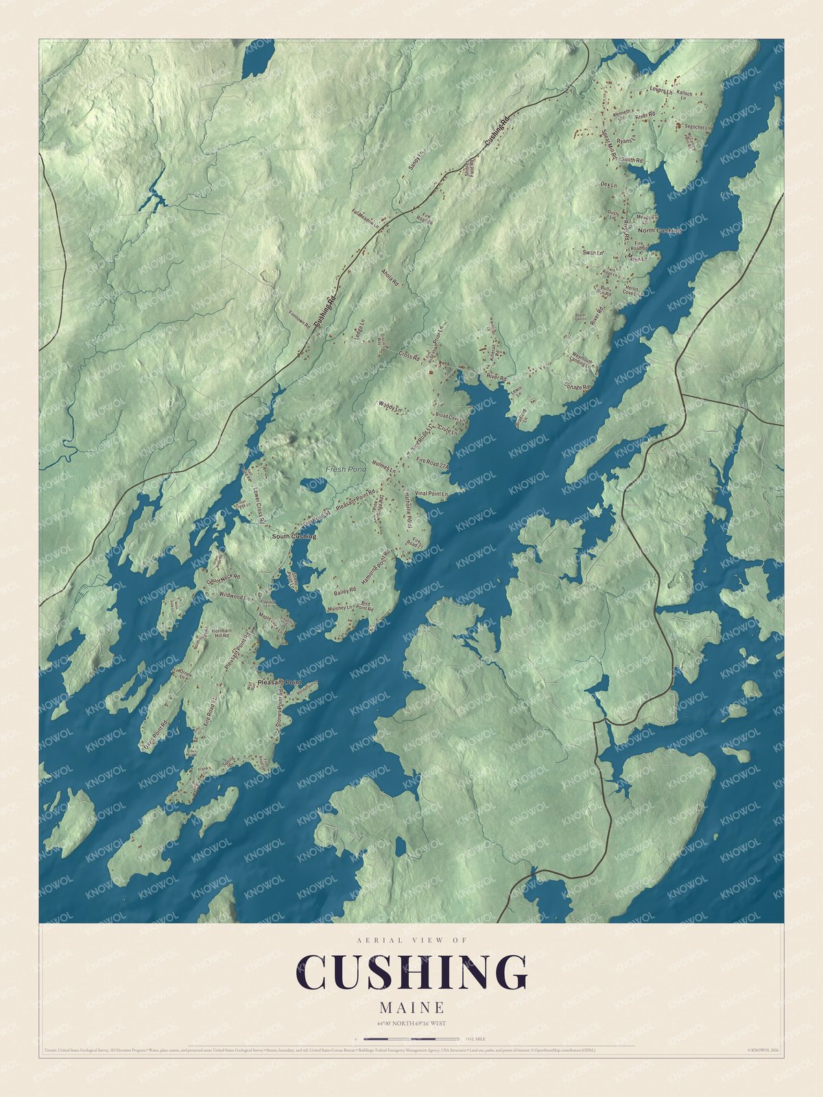
Click to explore a larger preview. The digital watermark does not appear on printed maps.
See it on a wall
The Cushing map as a framed print. Swipe for more.


Around the map
North Cushing is printed on the map, and so are Pleasant Point and South Cushing. Cushing Road, River Road, Spear Mill Road, Pleasant Point Road, Prior Lane and Stones Point Road are printed too. Fresh Pond is labeled on the map.
This Cushing map makes a fine addition to an office, library or den, and it can help teach children the geography and history of the area. It’s made for everyone who calls Cushing home, from North Cushing down to Pleasant Point, as it looks today. Zoom in on the preview above to explore the details, then click here to get your copy of the Cushing, Maine map.

Sources