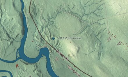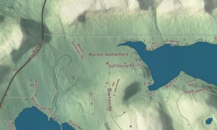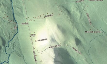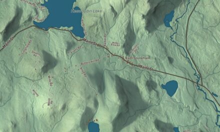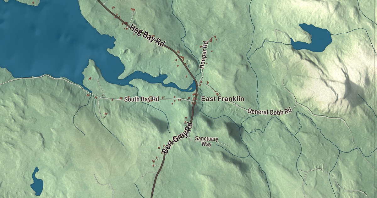
Georges Pond and Egypt Bay are both printed on this Franklin map, giving you water names to look for alongside East Franklin and West Franklin. Main Street and Hog Bay Road are among the roads named on the artwork. Click here to purchase a print of this map for your wall.
Franklin is a town in Hancock County, in the Schoodic Foothills area.
The coast, ponds, neighborhoods and buildings are brought together within Franklin’s town boundary. KNOWOL made this map in 2026 from public survey data and gave it the look of an old atlas. United States Geological Survey elevation data provides the terrain shading, while Census Bureau files supply the roads and town line. Franklin had 1,567 residents at the 2020 census.
From ship masts to blueberries
Franklin takes its name from Benjamin Franklin and became a town in 1825. Its town history identifies Moses Butler as a settler in 1764 and says Butler’s Point bears his name. The town later produced ship masts, railroad ties and granite, followed by blueberries and Christmas trees.
The landscape includes blueberry barrens, wooded hills, lakes and ponds, as well as the shore around Hog Bay. Franklin’s settlements reach inland toward the higher ground of eastern Hancock County. East Franklin and West Franklin are among the communities within that larger town.
The Schoodic Foothills
The regional name comes from Schoodic Mountain and the neighboring Schoodic Peninsula. Franklin is beside Hancock, Eastbrook, Sullivan and the unorganized Blackswoods area. Its coastline and inland waters are different parts of the same municipality.
The Census Bureau measures Franklin’s total area at 41.43 square miles, including 4.98 square miles of water. Town government includes an open annual town meeting and a board of selectpersons. Those local institutions serve the villages and neighborhoods spread across Franklin.
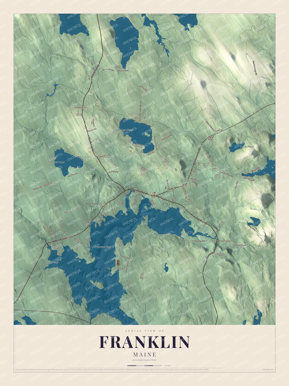
Click to explore a larger preview. The digital watermark does not appear on printed maps.
See it on a wall
The Franklin map as a framed print. Swipe for more.


East Franklin and West Franklin
Eastbrook Road, West Franklin Road, Bert Gray Road, Main Street, Blackswoods Road and Hog Bay Road are printed by name. East Franklin and West Franklin are printed too, with the town’s other streets and buildings drawn in the aerial view. Find the part of town you know before following the roads farther out.
Georges Pond, Egypt Bay, Great Pond and Duck Pond have their own printed names. Find the two villages before turning to the water names. Zooming into the preview lets you compare the shapes of the water and the pattern of roads around it.
For anyone who calls Franklin home, this map brings the coast and inland neighborhoods into one view as it looks today. It makes an addition to an office, library or den and can help teach children the geography and history of the area. Zoom in on the preview above to explore the details, then click here to get your copy of the Franklin, Maine map.

Sources