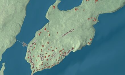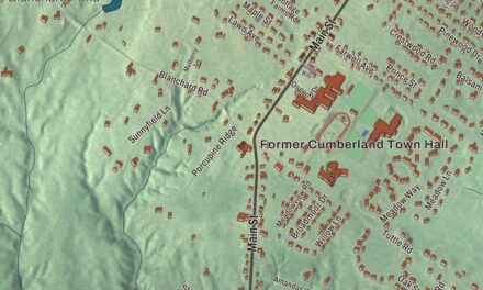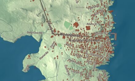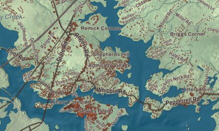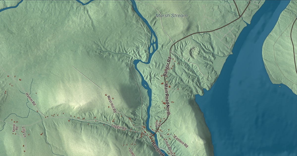
Marsh Stream is a name to look for on this Frankfort map, with Bangor Road and Marsh Stream Road printed among the town’s roads. The aerial view brings the buildings and shaded terrain into the same picture. Click here to purchase a print of this map for your wall.
Frankfort is a town in Waldo County, on the Penobscot River estuary.
KNOWOL made this map in 2026 from public survey data, with the look of an old atlas. United States Geological Survey elevation data shades the ground; Census Bureau files provide the roads and town boundary. Ponds, waterways and buildings are included in the aerial view of a town with 1,231 residents at the 2020 census.
An earlier, larger Frankfort
English settlement began in the 1760s, with soldiers from nearby Fort Pownall among the settlers. Joshua Treat, the fort’s armorer, was one of them. Frankfort became a town in 1789, and its original area included land that now belongs to Winterport, Stockton Springs and Prospect.
The principal village of that larger town was what is now Winterport. Today’s Frankfort occupies a smaller part of the original municipality and remains a distinct town. Shipbuilding and granite quarrying were important industries in the nineteenth century.
Stone from Mount Waldo
Mount Waldo, in Frankfort, rises about 1,060 feet. Its granite has a coarse, mottled texture, and stone was quarried both on the mountain’s northeast flank and near the top of Mosquito Mountain. Graded tracks carried the stone downhill toward cutting sheds and wharves on the Marsh River.
From those wharves, ships took the granite along the Penobscot to other ports. Mount Waldo’s history identifies buildings in New York, Washington and Philadelphia that used the stone. The quarry has been unused since 1914, and the surviving quarry works were listed on the National Register of Historic Places in 1974.
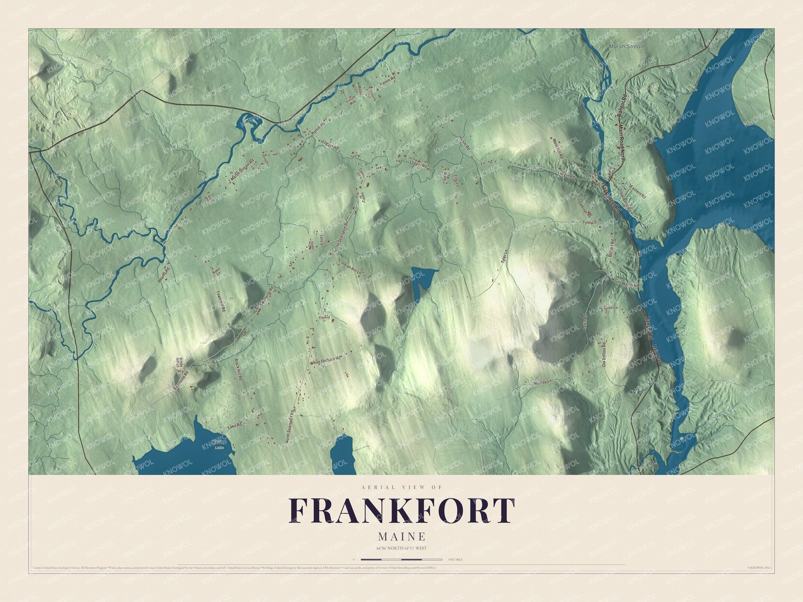
Click to explore a larger preview. The digital watermark does not appear on printed maps.
See it on a wall
The Frankfort map as a framed print. Swipe for more.


The stream and the roads
Black Hill Road, Belfast Road, Marsh Stream Road, Loggin Road and North Searsport Road are printed alongside Bangor Road. Marsh Stream has its own printed name. Follow a road you recognize through the preview, then look at the smaller roads and buildings drawn around it.
Marsh Stream lies along Frankfort’s northern border, and Swan Lake lies along its southwestern edge. Winterport is to the north, Prospect and Searsport to the south, Monroe to the west and Swanville to the southwest. Across the Penobscot is Bucksport, a separate town on the other side of the river.
The map is made for people who call Frankfort home, showing the roads and landscape as it looks today. In an office, library or den, it can also help teach children the geography and history of a river town that sent granite to distant cities. Zoom in on the preview above to explore the details, then click here to get your copy of the Frankfort, Maine map.

Sources