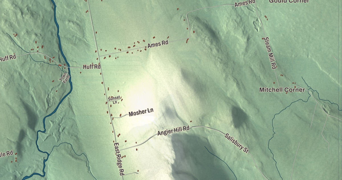
Mitchell Corner, Gould Corner, Cass Corner and Waltons Mill are the crossroads names on this map of Cornville, Maine, and Wesserunsett Stream, Barker Pond and Smith Pond are labeled on the water. Hartland Road, West Ridge Road, Beckwith Road, Shadagee Road, Cayford Orchard Road and South Babcock Road tie them together. Click here to purchase a print of this map for your wall.
Cornville is a town in Somerset County, with 1,317 people at the 2020 census.
KNOWOL made this map in 2026 from public survey data, borrowing the look of an old atlas. United States Geological Survey elevation data shades the ridges and hollows, and the Census Bureau supplies the roads and the town line, which takes in 40.94 square miles, only 0.21 of them water.
The 116th town
Settlers came to Cornville in 1794, and on February 24, 1798, it was incorporated as the 116th town in Maine, back when Maine was still part of Massachusetts. The census counted 1,314 people here in 2010 and 1,317 in 2020, and the town’s listed elevation is 436 feet.
Luther Elkins, born in Cornville in 1809, went west on the Oregon Trail in 1852. He served in Oregon’s territorial legislature, was a delegate to its constitutional convention, and in 1859 was chosen the first President of the Oregon State Senate. Closer to home, Peter Mills, a former state senator who led the Maine Turnpike Authority from 2011 to 2024, lives in Cornville, where he practices law and manages woodlots.
Cornville’s stage story belongs to Marti Stevens. She spent ten years directing and acting off-Broadway in New York before moving to a farm in Cornville in 1969. In 1973 a Cornville school principal asked her to direct the fifth-grade play, and she staged it in the town hall, which had been slated for demolition, and worked to fix the building up. The play was a hit, and after a second year the selectmen voted to refurbish the hall instead of tearing it down. In 1974 she founded the Cornville Players, with members from 14 to 60 from Cornville, Skowhegan and Athens, and by their tenth anniversary they’d put on 34 musicals, comedies and dramas involving more than 300 people. She also built literacy and adult education programs across Somerset County and started the Crossroads Learning Center in Skowhegan for teenage mothers, now named for her. She was inducted into the Maine Women’s Hall of Fame in 1996.
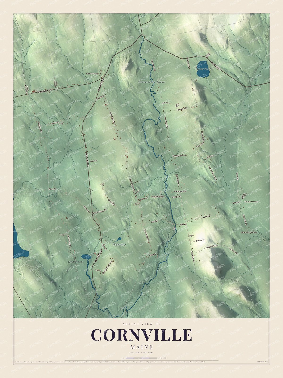
Click to explore a larger preview. The digital watermark does not appear on printed maps.
See it on a wall
The Cornville map as a framed print. Swipe for more.


Corners and ponds
Mitchell Corner is printed on the map, and so are Gould Corner, Cass Corner and Waltons Mill. Hartland Road, Beckwith Road, Shadagee Road, Cayford Orchard Road, West Ridge Road and South Babcock Road are printed as well. Barker Pond, Smith Pond and Wesserunsett Stream are labeled on the map, and the town’s back roads are drawn in around them.
This Cornville map makes a fine addition to an office, library or den, and it can help teach children the geography and history of the area. It’s made for everyone who calls Cornville home, from Mitchell Corner to Waltons Mill, as it looks today. Zoom in on the preview above to explore the details, then click here to get your copy of the Cornville, Maine map.

Sources