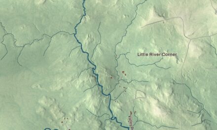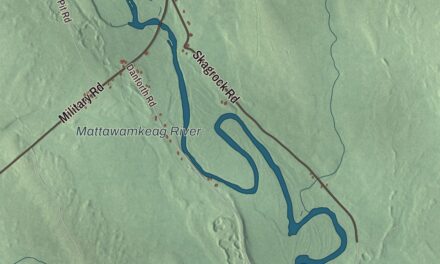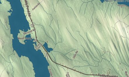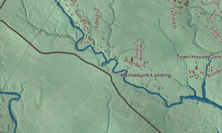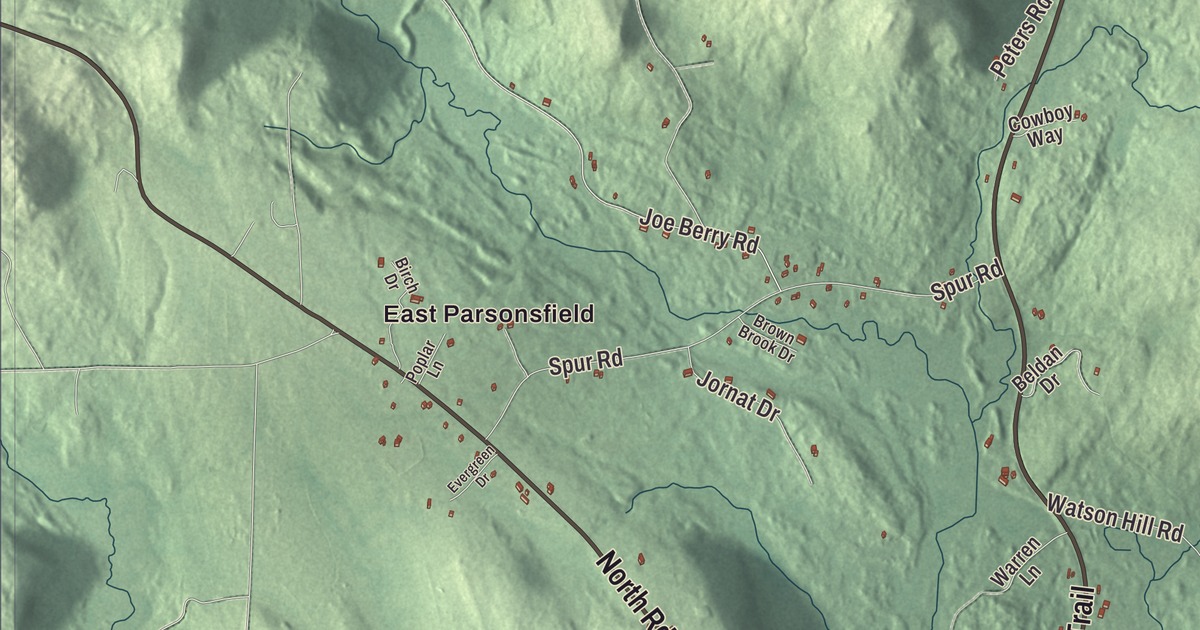
If you grew up in Cornish, you’ll find Main Street, Maple Street and Cumberland Street on this map of Cornish, Maine, with the Sokokis Trail and the Ossipee Trail coming into the village. North Road, Haley Pond, the Ossipee River and East Parsonsfield are printed too. Click here to purchase a print of this map for your wall.
Cornish is a town in York County, with 1,508 people at the 2020 census.
KNOWOL made this map in 2026 from public survey data and gave it the look of an old atlas plate. The hills, Clark Mountain among them, are shaded from United States Geological Survey elevation data, and the roads and town line come from the Census Bureau, which counts 22.38 square miles in Cornish, 0.20 of them water.
Where three trails met
In 1665 Francis Small set up a trading post near what’s now Cornish village, not far from where the Ossipee River meets the Saco. Three major Abenaki paths came together here, the Sokokis Trail, the Ossipee Trail and the Pequawket Trail, and that made the spot a center for the fur trade. Today those paths are State Routes 5, 25 and 113. In 1668 Small bought the Ossipee Tract from Captain Sunday, a Newichawannock chief also known as Wesumbe, a tract that took in present-day Cornish, Parsonsfield, Newfield, Limerick, Limington and Shapleigh.
The deed was never recorded, and it was 1770 before Small’s heirs found it and hired the attorney James Sullivan of Biddeford to press their claim. They won, and Small’s descendants took possession of Newfield, Limington and the township that would become Cornish, first named Francisborough and then Francistown after its original proprietor. Joseph Thompson settled it in 1782, and on February 27, 1794, it was incorporated as Cornish, presumably by settlers from Cornwall in England. The soil was good for farming and grew large crops of corn and other grain, and by 1859 the town had 1,144 people. In the early 1870s the Portland and Ogdensburg Railroad ran up the Saco valley, serving Baldwin Station across the bridge from Cornish.
Cornish is nicknamed the Crown of York County, and its page notes that the town’s highest point, Clark Mountain, at more than 1,320 feet, is also the highest point in the county. Hosac Mountain, 1,320 feet, comes second and is often mistaken for the top. The same page credits Cornish with the first concrete bridge in North America.
The village
The Caleb R. Ayer House, at 7 Main Street, joins a high-style Greek Revival front block from about 1855 to an older Cape from about 1830. Caleb Ayer was a lawyer who moved to Cornish after marrying a local woman, served as president of the Maine Senate in 1848, and was Maine’s Secretary of State in 1856. Right beside it, at High Road and Fiddle Lane, stands the George F. Clifford House. Family history says Justice Nathan Clifford of the United States Supreme Court built it about 1874 for his son George, who was Ayer’s nephew and law partner. It’s a fine Greek Revival house built years after the style had gone out of fashion, and nobody’s sure why.
Local craftsmen built the Odd Fellows-Rebekah Hall on High Street in 1902, with a four-story clock tower, and it’s a community meeting space today. The LeRoy F. Pike Memorial Building, at 17 Maple Street, is the town hall. LeRoy Pike was a Cornish lumberman who served the town as selectman, moderator and constable, and after his widow left about $20,000 to the town for a municipal building, John Calvin Stevens and his son John Howard Stevens designed this one, finished in 1926. All four buildings are on the National Register of Historic Places.
Cornish sent people out into the world, too. David Dunn, born here in 1811, served as acting governor of Maine for three days in 1844 while Speaker of the Maine House. Joseph Hammons, born in Cornish in 1787, practiced medicine in Farmington, New Hampshire, and represented New Hampshire in Congress from 1829 to 1833. The town also counts Steve Letarte among its own, the NASCAR crew chief for Jeff Gordon and later Dale Earnhardt Jr., who went on to call races on television.
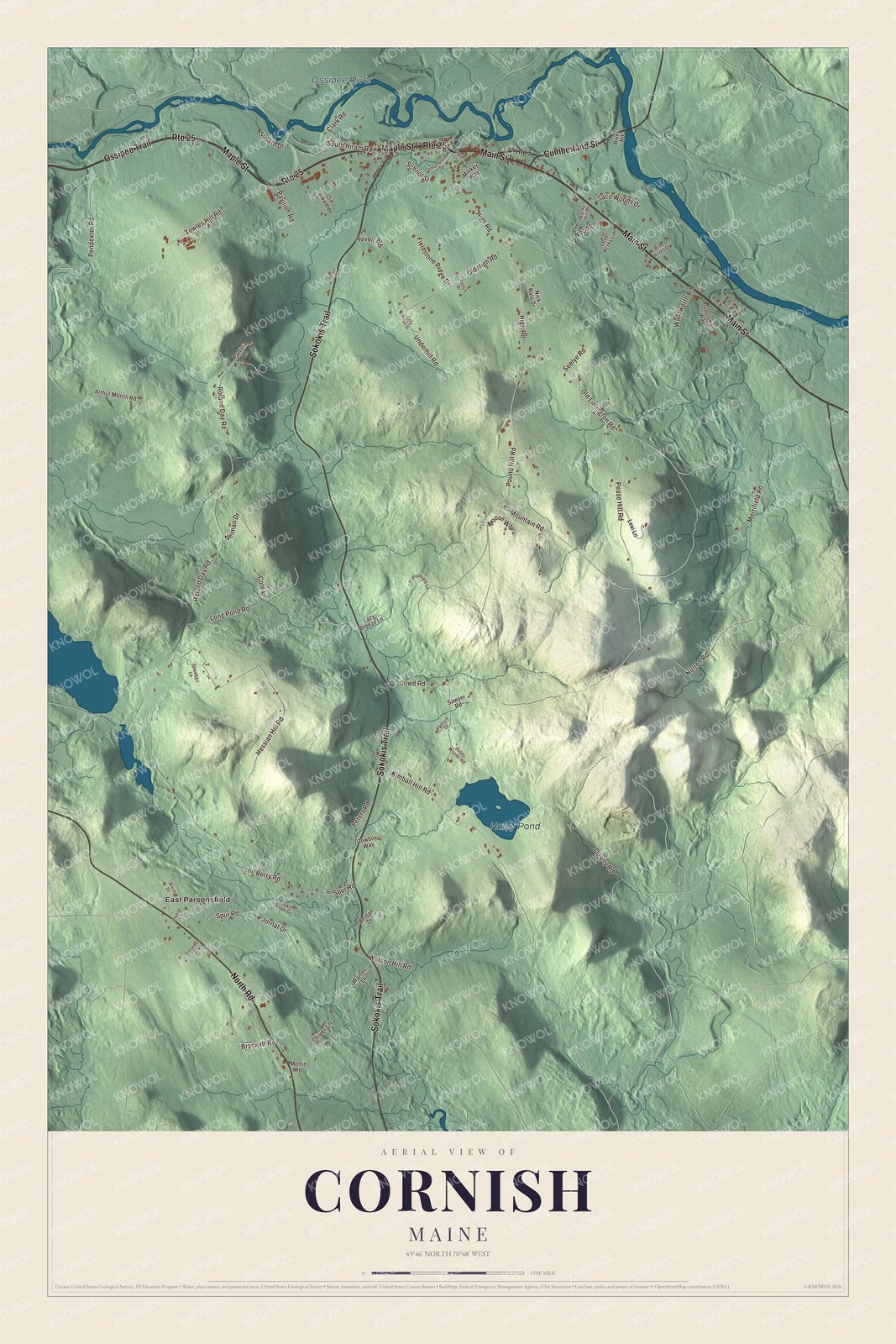
Click to explore a larger preview. The digital watermark does not appear on printed maps.
See it on a wall
The Cornish map as a framed print. Swipe for more.


Along the Ossipee
The Ossipee River forms the line between Cornish and Hiram, and between York County and Oxford County, before it joins the Saco. Route 25 follows the Ossipee for its whole length. In the village, Main Street carries Routes 5 and 25 together, and Maple Street, Route 25, is the main east and west road through the village. Between Waterboro and Cornish, Route 5 is the Sokokis Trail.
Main Street, Maple Street and Cumberland Street are printed on the map, and so are the Sokokis Trail, the Ossipee Trail and North Road. Haley Pond and the Ossipee River are labeled on the map, and East Parsonsfield is printed too. Parsonsfield is the town on Cornish’s western side.
This Cornish map makes a fine addition to an office, library or den, and it can help teach children the geography and history of the area. It’s made for everyone who calls Cornish home, from Haley Pond to the Ossipee River, as it looks today. Zoom in on the preview above to explore the details, then click here to get your copy of the Cornish, Maine map.

Sources
- Cornish, Maine, Wikipedia
- Caleb R. Ayer House, Wikipedia
- Caleb R. Ayer, Wikipedia
- George F. Clifford House, Wikipedia
- Odd Fellows-Rebekah Hall (Cornish, Maine), Wikipedia
- LeRoy F. Pike Memorial Building, Wikipedia
- David Dunn (Maine politician), Wikipedia
- Joseph Hammons, Wikipedia
- Steve Letarte, Wikipedia
- Ossipee River, Wikipedia
- Maine State Route 25, Wikipedia
- Maine State Route 5, Wikipedia