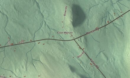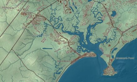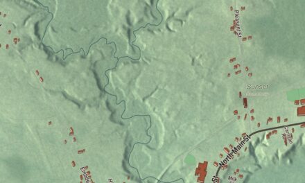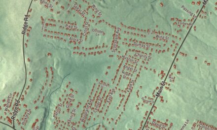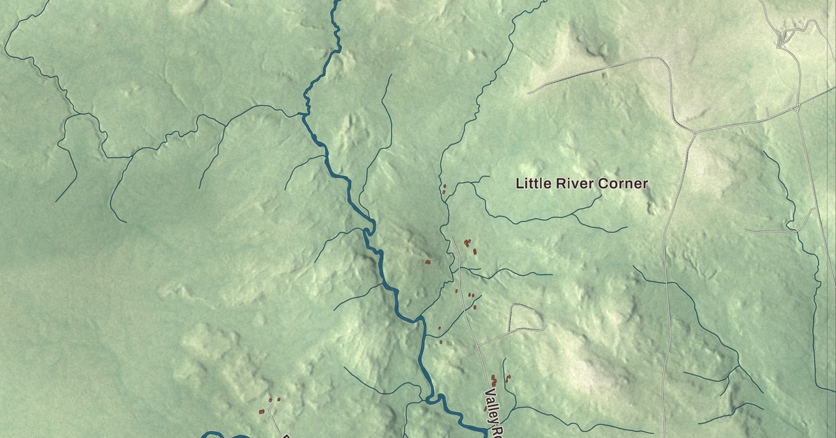
Little River Corner, Epping and Georgetown are the old village names on this map of Columbia, Maine, and the Pleasant River is labeled with them. Saco Road, Pea Ridge Road, Schoodic Road, Tibbetstown Road, Cherryfield Ridge Road and Meeting House Road carry their names across the rest of town. Click here to purchase a print of this map for your wall.
Columbia is a town in Washington County, with 435 people at the 2020 census.
KNOWOL made this map in 2026 from public survey data, laid out like a page from an old atlas. The ridges and the river valley are shaded from United States Geological Survey elevation data, and the roads and town line come from the Census Bureau, which counts 36.61 square miles in Columbia, 0.31 of them water.
Up the Pleasant River
Native American settlements stood along the Pleasant River before European settlers arrived, one of them at Saco Falls. The first European family, William and Noah Mitchell, came up the river from Addison in the 1750s, and in 1770 people living in the valley petitioned the Governor of Massachusetts for a Justice of the Peace, the first formal record of government here. The land was Township 12 then. In 1796 it was joined with neighboring Township 13 and incorporated as the Town of Columbia, and the two stayed one town for 67 years, until Township 13 became Columbia Falls in 1863.
Sawmills and shipbuilding kept the early families going. The first sawmill in town was in Epping, built by Moses Worcester near today’s Fish and Game Club, and when it later burned it gave Burnt Mill Rips its name. Other mills stood at Little River, Saco Falls, Branch Brook and Georgetown, and at one time there were three shipyards at the Branch. Settlers also came for the marsh hay, and they built boxes and dikes in the salt marshes to cut the saltwater and improve the hay. They were called aboiteaux, and that stretch of marsh is still known as “the abadors.”
Blueberries are one of only three fruits native to this area, with cranberries and grapes. During the Civil War, berries from this valley were picked and canned by hand and shipped to the Union Army, and others went to Boston by schooner in one-quart wooden firkins, a trip of two and a half days. Abijah Tabbutt designed a blueberry rake in 1883, and blueberry growing is still the most significant farming in Columbia.
Landmarks old and new
The oldest house still standing in Columbia was built in 1790 at 515 Station Road, and people still live in it. The first school in Township 12 stood in Upper Epping, and it’s now a home at 11 Pea Ridge Road. The town’s last one-room schoolhouse, built in 1892, was renovated in 1996 and serves as the Town Office. In 1857 surveyors finished the Base Line, a perfectly straight line 5.4 miles long, and the United States Coast and Geodetic Survey used it as one of seven lines for triangulation to map the North Atlantic.
The Union Church in Epping, built in 1829 as the Epping Baptist Church, was the first church building put up within Columbia’s bounds. It stood on Epping Road until it was condemned in 2019 and later collapsed, and it came off the National Register of Historic Places in 2024. Alexander Baring once wrote of a settlement of about 30 Quaker families near the center of Township 12, and the only traces left of them are cellar holes near Pea Ridge Road.
Sara J. Dorr was born in Columbia in 1855, taught school, and was married here in 1877. At 15 she joined the Good Templars, a temperance society, and in 1886 she led a new Band of Hope in her home community that grew to 200 members. After her family moved to California she rose through the Woman’s Christian Temperance Union and served as its state president from 1907 to 1921.
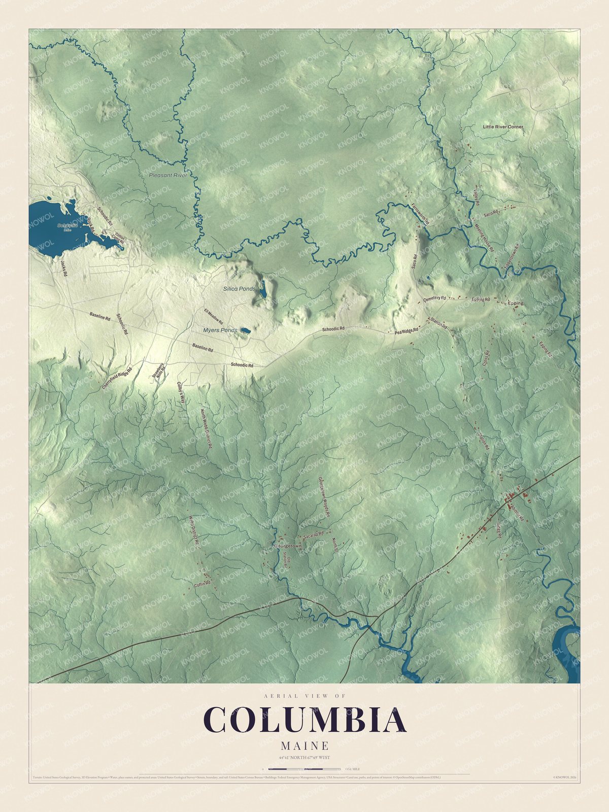
Click to explore a larger preview. The digital watermark does not appear on printed maps.
See it on a wall
The Columbia map as a framed print. Swipe for more.


Reading the map
Little River Corner is printed on the map. It’s where the Western Little River, which runs 11.2 miles south from its source, joins the Pleasant River. Epping and Georgetown are printed too. The Pleasant River is labeled on the map, and so are Saco Road, Pea Ridge Road, Schoodic Road, Tibbetstown Road, Cherryfield Ridge Road and Meeting House Road. The town cemetery is on Cemetery Road, off Saco Road, and Epping, in the northeast corner of town, holds the municipal offices. Schoodic Lake, the one great pond in Columbia, also reaches into Cherryfield.
This Columbia map makes a fine addition to an office, library or den, and it can help teach children the geography and history of the area. It’s made for everyone who calls Columbia home, from Epping to Little River Corner, as it looks today. Zoom in on the preview above to explore the details, then click here to get your copy of the Columbia, Maine map.

Sources