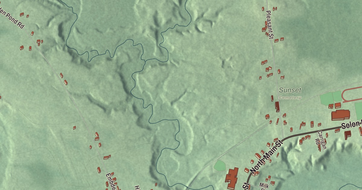
River Road, Main Street and North Main Street run through this map of North Anson, the village where the Carrabassett meets the Kennebec. Click here to purchase a print of this map for your wall.
North Anson is a named community in Somerset County.
KNOWOL made this map in 2026 from public survey records, United States Geological Survey elevation data and Census Bureau files. Its atlas layout brings together North Anson’s streets, buildings, rivers and terrain and the pattern of buildings. The community is mapped with its own boundary. The finished artwork gives North Anson its own place title.
Where two rivers meet
North Anson is a village and census-designated place in the northeastern part of the town of Anson. The Carrabassett River, which rises near Sugarloaf Mountain and flows southeast past Kingfield, joins the Kennebec in Anson. When new schools replaced the Mark Emery School and Anson Academy, their first class named them Carrabec, after the two rivers meeting in North Anson: the Kennebec and its tributary, the Carrabassett.
The village in 1886
An 1886 history of Anson records that North Anson was set off as its own town in 1845 and that the two were reunited in 1855. The village then had its own paper, the Union Advocate, issued every Wednesday by Albert Moore & Son, and Anson Academy, at North Anson Village, was called a well-established and thriving school. Abram P. Williams, later a U.S. senator from California, studied at North Anson Academy from 1846 to 1848 and taught school at North Anson before he moved to Fairfield in 1853.
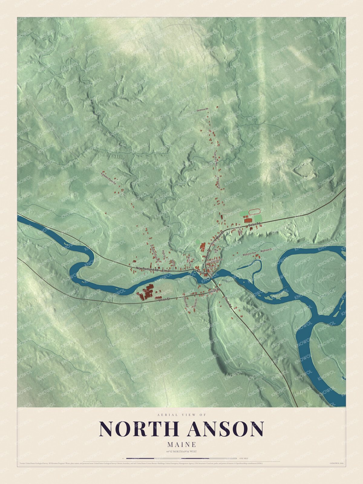
Click to explore a larger preview. The digital watermark does not appear on printed maps.
See it on a wall
The North Anson map as a framed print. Swipe for more.


Explore the North Anson map
Start with River Road, then follow Elm Street, Main Street, Solon Road, Union Street and North Main Street across the community. All of those names are printed on the artwork. Compare the close-set streets of the village center with the open land around them, and follow the roads out toward the rivers.
For people who call North Anson home, this map shows the community as it looks today. Put it in your office, library, or den, or use it to teach children the geography and history of the area. Zoom in on the preview above to explore the details, then click here to get your copy of the North Anson, Maine map.

Sources