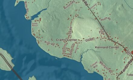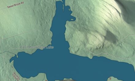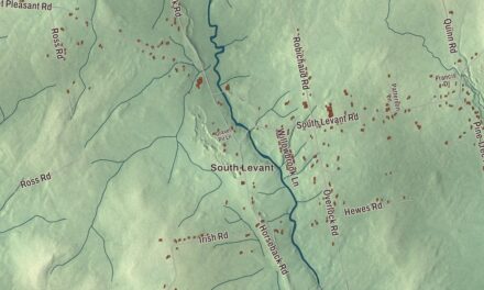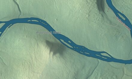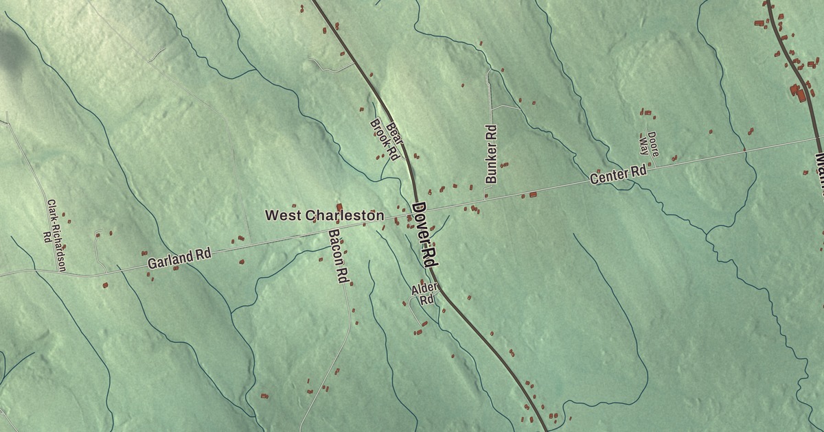
Main Road and Upper-Charleston Road run through the heart of this map of Charleston, Maine, and West Charleston and Rollins Mill are printed along with them. Bradford Road, Charleston Road, Dover Road and Highway Drive carry their names too. Click here to purchase a print of this map for your wall.
Charleston is a town in Penobscot County, with 1,558 people at the 2020 census.
KNOWOL made this map in 2026 from public survey data and gave it the face of an old atlas. United States Geological Survey elevation data shades the hills, and the roads and town line come from the Census Bureau, which counts 40.56 square miles in Charleston. The town is drained by Rollins Brook and South Gate Brook, and it’s part of the Bangor metropolitan area.
New Charlestown
Charles Vaughan settled here as early as 1795. On July 14, 1802, the Massachusetts General Court granted the land to John Lowell, and the township was incorporated on February 16, 1811, as New Charlestown, to tell it apart from Charlestown, Massachusetts, back when Maine was still part of that state. Once Maine became a state in 1820 there was no more confusion between the two, and in 1827 the name was shortened to Charleston.
Sawmills ran on water power at the streams, but Charleston was mainly a farming town, and its large farms were known for raising horses and cattle. Higgins Classical Institute was founded here in 1837, and in 1975 its campus passed to Faith Bible College International. By 1870 the town had 1,191 people. From 1901 to 1930 the Bangor Railway and Electric Company ran trolleys on an electric line between Bangor and Charleston.
In late 1950 the Air Force began building a radar station on Bull Hill, one of the stations in the permanent air defense network. Charleston Air Force Station was fully staffed and running in 1952, and its 765th Radar Squadron later won the Air Force Outstanding Unit Award for its service from 1959 to 1963. The station closed in 1980.
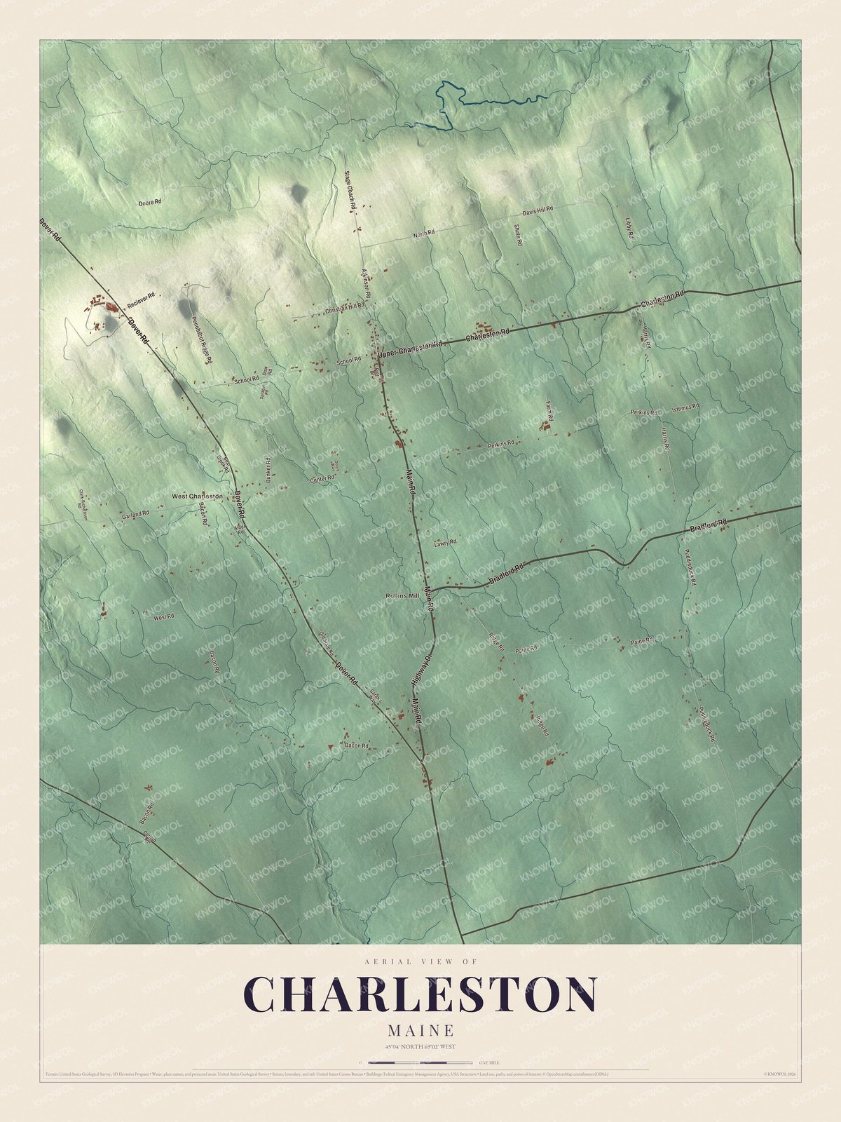
Click to explore a larger preview. The digital watermark does not appear on printed maps.
See it on a wall
The Charleston map as a framed print. Swipe for more.


Main Road and Upper-Charleston Road
Main Road and Upper-Charleston Road are printed on the map. Together they carry State Route 11A, a loop of the old main highway that serves the town of Charleston, which the modern Route 11 now bypasses to the south. The loop was once part of Route 15 and then Route 11, before each highway was moved onto newer roads around the town. On Main Road, at number 53, stands the United Baptist Church, listed on the National Register of Historic Places in 2018.
West Charleston is printed on the map, and the town’s page names it as a village of Charleston. Rollins Mill is printed too, as are Bradford Road, Charleston Road, Dover Road and Highway Drive. The town sits between Route 15 and Route 221, about halfway between Schoodic Lake and Sebasticook Lake.
This Charleston map makes a fine addition to an office, library or den, and it can help teach children the geography and history of the area. It’s made for everyone who calls Charleston home, from Main Road to West Charleston, as it looks today. Zoom in on the preview above to explore the details, then click here to get your copy of the Charleston, Maine map.

Sources