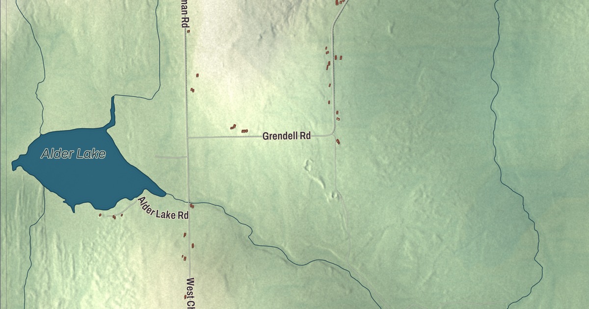
Chapman Road and West Chapman Road both carry the town’s name across this map of Chapman, Maine, and Grendell Road, Carvell Road, Littlefield Road and Town Hall Road are printed with them. Alder Lake and Presque Isle Stream carry their names too. Click here to purchase a print of this map for your wall.
Chapman is a town in Aroostook County, with 491 people at the 2020 census.
KNOWOL made this map in 2026 from public survey data and gave it the character of an old atlas. The land is shaded from United States Geological Survey elevation data, and the roads and town line come from the Census Bureau, which counts 38.82 square miles in Chapman, 0.42 of them water.
A small Aroostook town
Chapman was organized as a plantation in 1874 and incorporated as a town on March 11, 1915. The census found 465 people in town in 2000 and 468 in 2010, and the count has grown a little since, to 491 in 2020. The town’s listed elevation is 610 feet.
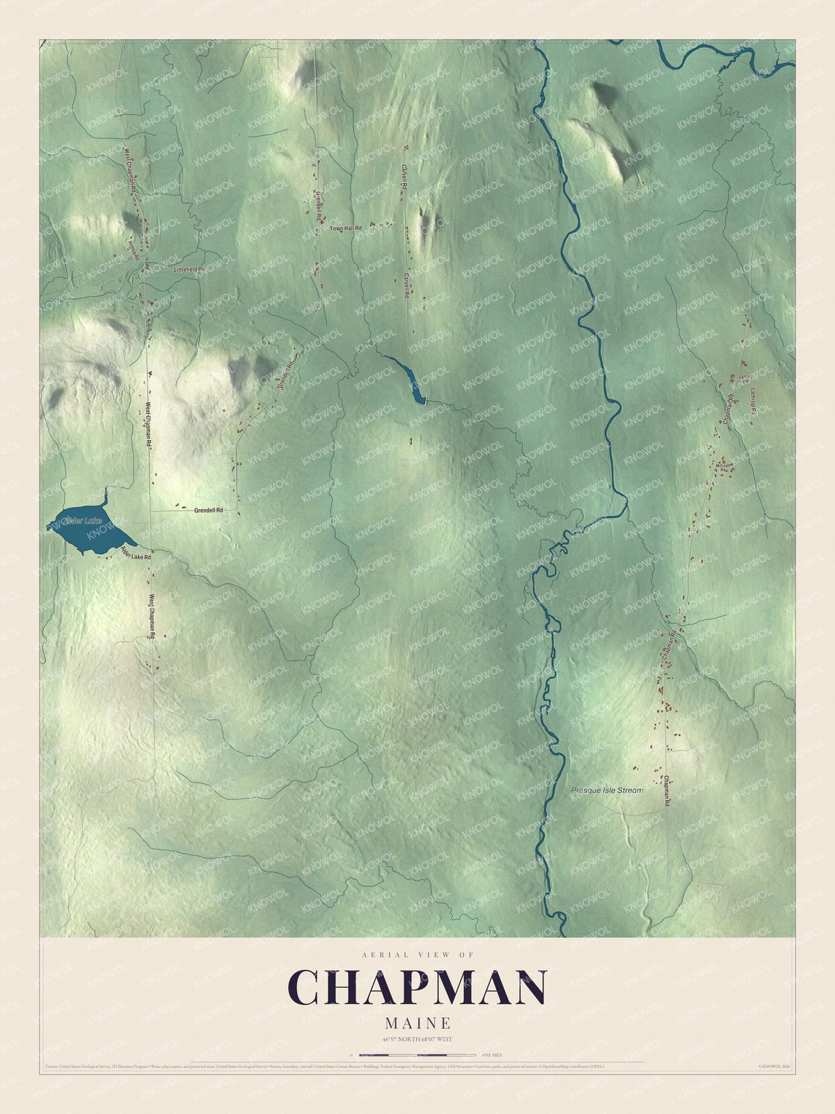
Click to explore a larger preview. The digital watermark does not appear on printed maps.
See it on a wall
The Chapman map as a framed print. Swipe for more.


Around the map
Chapman Road and West Chapman Road are printed on the map, and so is Town Hall Road. Grendell Road, Carvell Road and Littlefield Road are printed as well, and the water carries two names, Alder Lake and Presque Isle Stream.
This Chapman map makes a handsome addition to an office, library or den, and it can help teach children the geography and history of the area. It’s made for everyone who calls Chapman home, from West Chapman Road to Alder Lake, as it looks today. Zoom in on the preview above to explore the details, then click here to get your copy of the Chapman, Maine map.

Sources