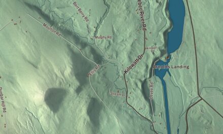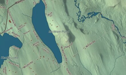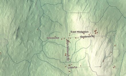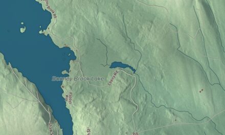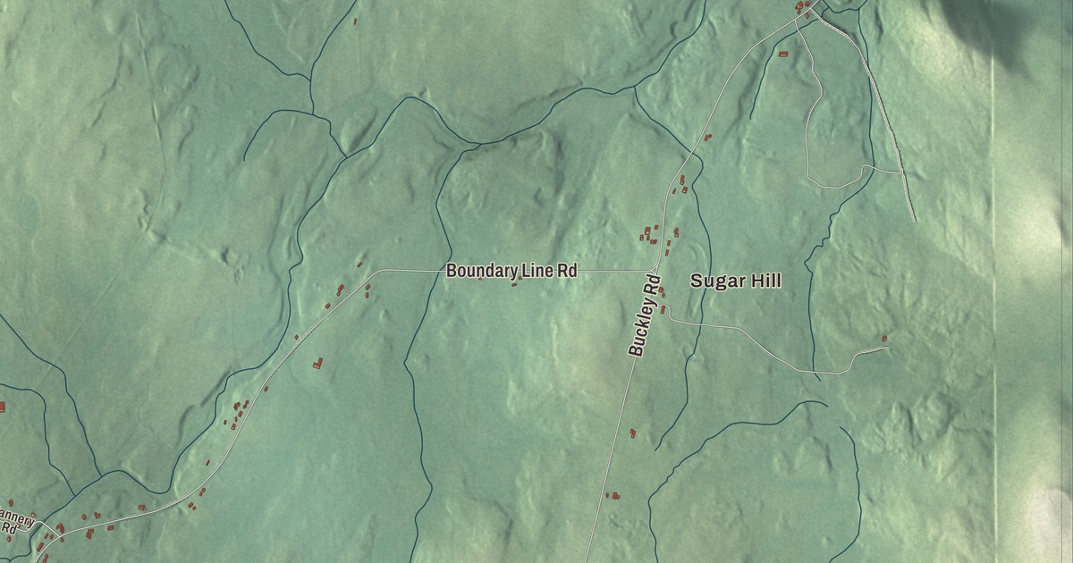
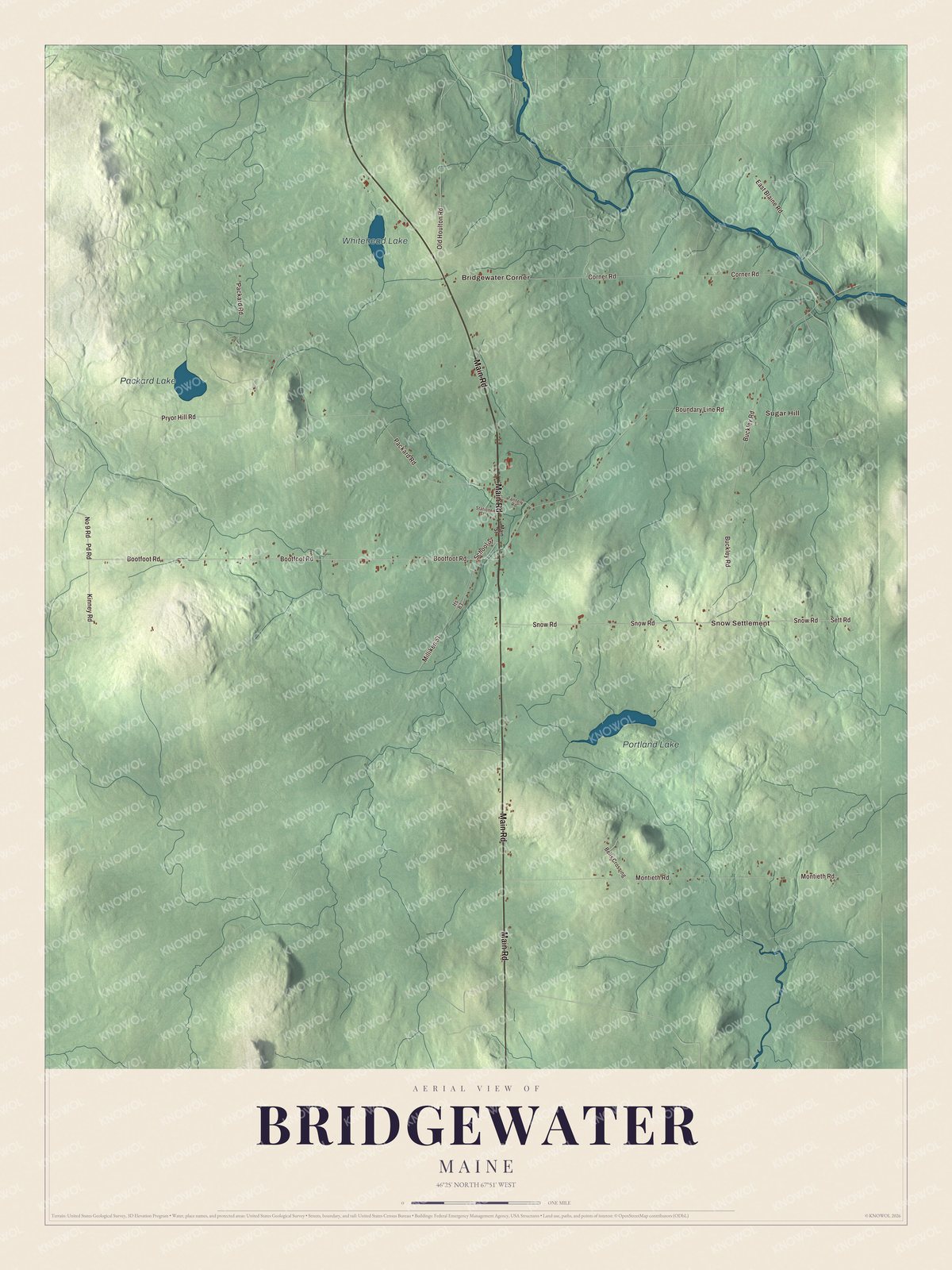
Main Road leads the names on this map of Bridgewater, and the rest are ones Bridgewater people know: Sugar Hill, Bridgewater Corner and Snow Settlement, with Bootfoot Road, Snow Road, Sett Road, Kinney Road and Pd Road. Portland Lake, Packard Lake and Whitehead Lake are printed as well. Click here to purchase a print of this map for your wall.
Bridgewater is a town in Aroostook County, where 532 people lived at the 2020 census.
KNOWOL made this map in 2026 from public survey data and gave it the look of an old atlas. The hills are shaded from United States Geological Survey elevation data, and the roads and town line come from the Census Bureau, which counts 38.97 square miles in Bridgewater and only 0.17 of water.
A township that paid for two academies
Bridgewater began as a piece of the land north of Bangor that had been divided into townships 6 miles square. In 1803 the future Bridgewater Township was split into two grants, each 3 miles by 6, to raise money for public academies in Portland and in Bridgewater. When Maine separated from Massachusetts in 1820, the name Bridgewater was given to the township. Bridgewater dates to 1858, when it was incorporated on March 2.
One of the first families here was the Ketchums. Joseph Ketchum, born in Saint John, New Brunswick, was one of the earliest settlers, and his son James was the first child of European descent born in the town. According to his granddaughter’s page, Joseph cut the first timber along the Presteel, sowed the first wheat ever seen in Bridgewater and kept a public inn, the only one between Houlton and Presque Isle. That granddaughter, Amber E. Robinson, was born in Bridgewater in 1867 and went on to teach for 42 years, write for the Bangor Daily News and campaign for women’s suffrage.
Potato country and its people
Gerald Evan Williams, an officer in the Ninth Air Force in World War II, was born here in 1907; his page describes the Bridgewater of his parents’ day as a rural potato-growing area. Jim Gerritsen ran Wood Prairie Farm in Bridgewater, established in 1976, growing organic seed potatoes, and he’s president of the Organic Seed Growers and Trade Association, a national trade group based in Maine. His son took over the farm in 2016.
Frank M. Hume was born in Bridgewater in 1867. After finishing school he came back and raised his own militia company here, which the state recognized as Company L of the Maine National Guard. In World War I he commanded the 103rd Infantry in France and earned the Croix de Guerre and the Army Distinguished Service Medal.
Click to explore a larger preview. The digital watermark does not appear on printed maps.
See it on a wall
The Bridgewater map as a framed print. Swipe for more.


The town hall and the roads
In the center of town, on U.S. Route 1, stand the old Bridgewater Town Hall and its small jail. The hall went up in 1894 after the town’s first meeting hall burned, and soon afterward the Odd Fellows took a share in the upper floor, which they used with the Rebekahs and, later, the local Grange until 1942. The jail beside it, from about 1910, is a tiny building of ornamental concrete blocks with a door at one end and a single window at the other. Both are on the National Register of Historic Places, and the local historical society now uses the hall’s ground floor. The town also reaches the Canadian border, where a crossing at the end of Boundary Line Road links it with Centreville, New Brunswick.
Sugar Hill, Bridgewater Corner and Snow Settlement are printed on the map. Main Road, Bootfoot Road, Snow Road, Sett Road, Kinney Road and Pd Road are printed too, along with Portland Lake, Packard Lake and Whitehead Lake.
This Bridgewater map makes a handsome addition to an office, library or den, and it can teach children the geography and history of an Aroostook County town. It’s made for anyone who calls Bridgewater home, from Sugar Hill to Snow Settlement, as it looks today. Zoom in on the preview above to explore the details, then click here to get your copy of the Bridgewater, Maine map.

Sources