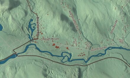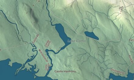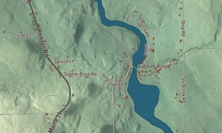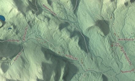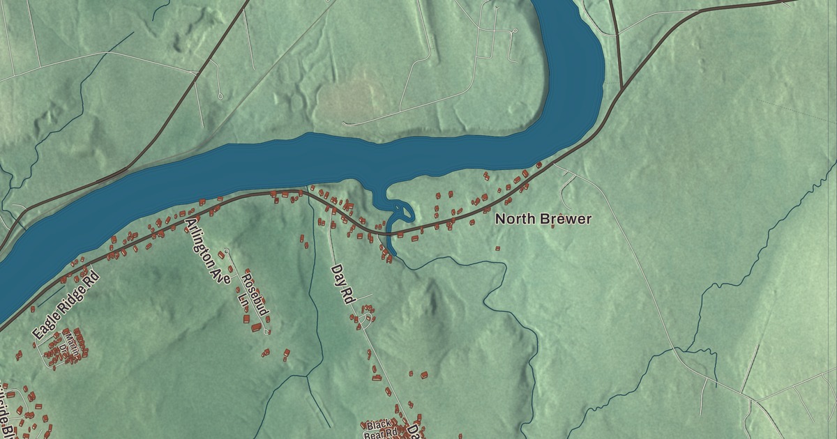
Across the Penobscot from Bangor, this map of Brewer prints North Brewer and South Brewer and six of the city’s streets: Wilson Street, North Main Street, South Main Street, State Street, Eastern Avenue and Dirigo Drive. Click here to purchase a print of this map for your wall.
Brewer is a city in Penobscot County, and 9,672 people lived here at the 2020 census.
KNOWOL made this map in 2026 from public survey data and gave it the look of an old atlas. The shaded relief comes from United States Geological Survey elevation data, and the streets and city line come from the Census Bureau, which measures Brewer at 15.68 square miles, 0.45 of them water.
New Worcester becomes Brewer
Brewer and Bangor began as one place. Both were part of Condeskeag Plantation, and the Brewer side was also called New Worcester, after the birthplace of its first settler, Colonel John Brewer, whose name the city carries. When Orrington was incorporated in 1788, Brewer was its main village. The Bangor side became a town of its own in 1791, and Brewer dates to 1812, the year it broke away from Orrington. It became a city in 1889. Today the sister cities face each other at the head of navigation on the Penobscot River estuary, joined by three bridges. One of them, the Joshua Chamberlain Bridge, carries U.S. Route 1A over the river and opened on November 11, 1954.
Bricks, boards and paper
In the 19th century Brewer was known for brick the way Bangor was known for lumber. By the 1850s it had 12 to 15 brickyards turning out 12 million bricks a year, most of them shipped to Boston, and it’s said that most of Boston’s Back Bay and South End neighborhoods were built of Brewer brick. In 1859 Frank O. Farrington of Brewer patented a machine for edging and turning bricks. The city built ships too, and its sawmills mostly ran on steam rather than waterfalls. The ice business that thrived here in the late 1800s and early 1900s lives on in the Getchell Brothers company.
South Brewer was the industrial side of the city. The Eastern Manufacturing Company opened a pulp and paper mill there in 1889, and it became Brewer’s largest employer. It grew out of Fred W. Ayer’s sawmill, where he began trying to make paper from his leftover slab wood, and in 1899 Ayer patented a sulfite process that became the basis for the Eastern and for the Great Northern mill in Millinocket. The Eastern later made fine papers such as its “Atlantic Bond.” The mill closed in 2004, and the Cianbro Corporation has since redeveloped the site. In 1900 a 17-year-old South Brewer girl, Dione Polliot, became the first person to climb the mill’s 173-foot chimney, winning $10 on a dare that the boys had all abandoned halfway up. The New York Times called her the pluckiest girl in South Brewer.
Born in Brewer
Joshua Lawrence Chamberlain was born in Brewer in 1828 and grew up on his family’s farm here. As colonel of the 20th Maine at Gettysburg, he held Little Round Top and led the bayonet charge that ended the attack on it, and he received the Medal of Honor for it. After the war he served four one-year terms as governor of Maine and became president of Bowdoin College. His youngest brother, Thomas Chamberlain, also born in Brewer, rose to lieutenant colonel of the same regiment.
Fannie Hardy Eckstorm was born here in 1865. From 1889 to 1891 she was Brewer’s superintendent of schools, the first woman in Maine to hold that job, and she later founded the city’s public library. She became one of the leading authorities on Maine’s history, wildlife and folklore, writing books on the river drivers of the Penobscot and on the language and culture of Maine’s Native people. The sculptor Charles Tefft, born in Brewer in 1874, made the statue of Hannibal Hamlin, one of Maine’s two statues in the National Statuary Hall Collection at the U.S. Capitol. James R. Ambrose, another Brewer native, worked on radar and nuclear reactors at the Naval Research Laboratory and served as Under Secretary of the Army from 1981 to 1988.
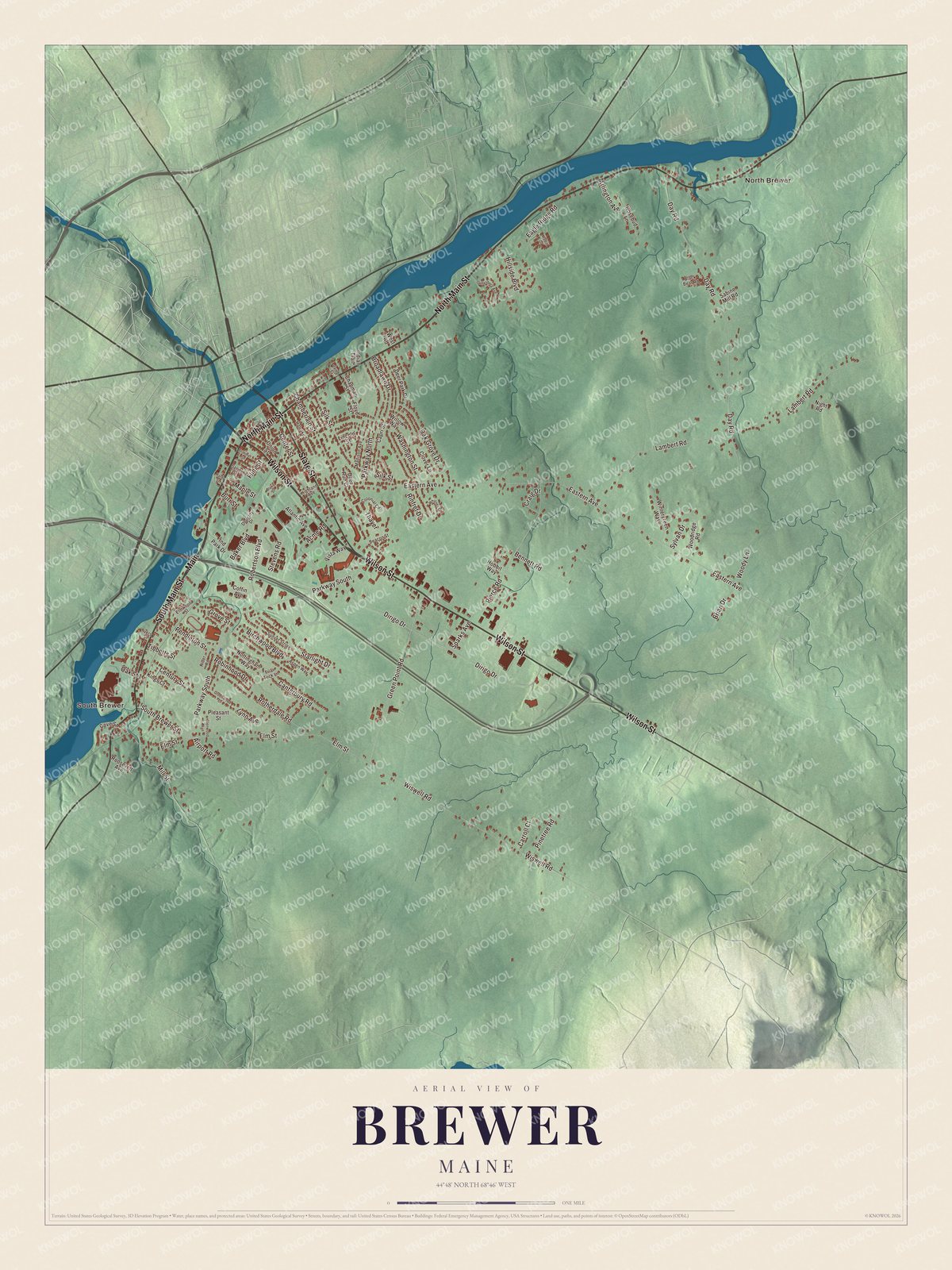
Click to explore a larger preview. The digital watermark does not appear on printed maps.
See it on a wall
The Brewer map as a framed print. Swipe for more.


North Main Street and South Main Street
South Main Street is printed on the map. At number 613, at the corner of Town Landing Road in the far southwest of the city, stands the Daniel Sargent House, built in 1847 and one of the few Gothic Revival houses in Penobscot County, its gables trimmed with a carved vine pattern. Sargent was one of the area’s lumber barons, with a shipyard and a sawmill in South Brewer. In the Civil War he commanded the company called the “Tigers” in the 2nd Maine, a regiment the town page says was the first to march out of the state in 1861.
North Main Street is printed too. On it, by the river north of downtown, is the Penobscot Salmon Club, founded in 1887 beside a stretch of the Penobscot long known for good fishing. Its page calls it the oldest fishing club in the United States, and one of its traditions has been to send the first salmon caught each season to the President. Its 1923 clubhouse is on the National Register of Historic Places. So is the Old Brewer High School on Somerset Street, an Art Deco building finished in 1926, and the town page names the shingle-style First Congregational Church, on a bluff above the river looking across to Bangor, as the city’s most imposing architectural landmark. North Brewer and South Brewer are printed on the map, and so are Wilson Street, State Street, Eastern Avenue and Dirigo Drive.
Give this Brewer map a place in an office, library or den, or use it to teach children the geography and history of a river city. It’s made for everyone who calls Brewer home, from North Brewer to South Brewer, as it looks today. Zoom in on the preview above to explore the details, then click here to get your copy of the Brewer, Maine map.

Sources
- Brewer, Maine, Wikipedia
- Joshua Chamberlain, Wikipedia
- Thomas Chamberlain (soldier), Wikipedia
- Fannie Hardy Eckstorm, Wikipedia
- Charles Tefft, Wikipedia
- James R. Ambrose, Wikipedia
- Daniel Sargent House, Wikipedia
- Penobscot Salmon Club, Wikipedia
- Old Brewer High School, Wikipedia
- National Register of Historic Places listings in Penobscot County, Maine, Wikipedia