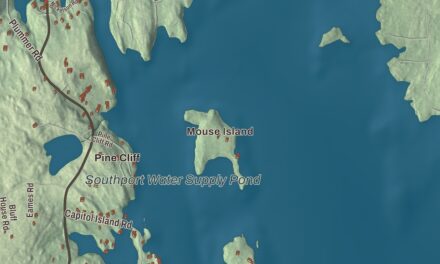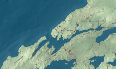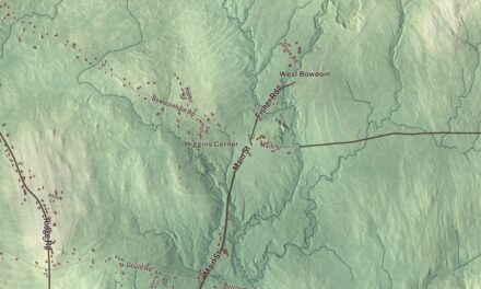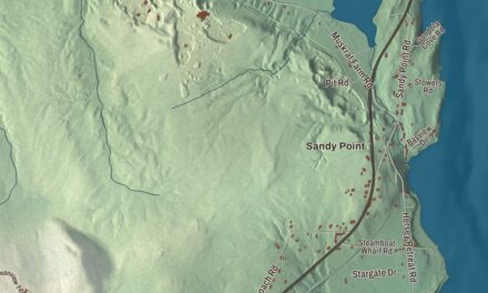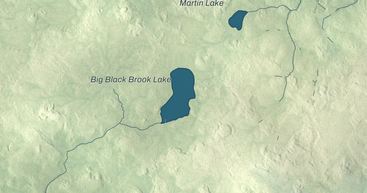
Big Black Brook Lake, Little Black Brook Lake, Butterfield Brook Pond and Mud Lake are printed on this map of Caswell, Maine. Van Buren Road, Libby Road, Peers Road, Obar Road, Willard Road and West Gate Road carry their names too. Click here to purchase a print of this map for your wall.
Caswell is a town in Aroostook County, with 293 people at the 2020 census.
KNOWOL made this map in 2026 from public survey data and gave it an old atlas look. The land is shaded from United States Geological Survey elevation data, and the roads and town line come from the Census Bureau, which counts 41.56 square miles in Caswell, 0.26 of them water. Hamlin lies to the north, Limestone to the south and Connor to the west, and on the east the town meets Grand Falls and Drummond Parish in New Brunswick.
From Pleasant Ridge to Caswell
The town’s page says Caswell was first organized on April 14, 1879, as Pleasant Ridge Plantation, and was later reorganized and renamed for the town’s first settler, R. S. Caswell. In our own time, Bernard Ayotte of Caswell represented his part of Aroostook County in the Maine House of Representatives, first elected in 2006 and serving until term limits in 2014.
When the Army Corps of Engineers chose a site for a new airfield in 1947, it picked land in northeastern Maine within Limestone Township and Caswell Plantation. It was the closest point in the continental United States to Europe. The field became Loring Air Force Base, named in 1954 for Major Charles J. Loring Jr., a Medal of Honor recipient in the Korean War, and for most of its life it was a heavy bomber and aerial refueling base. One of the four Nike-Hercules missile sites built to defend it in 1956 stood near Caswell. The base closed in September 1994, and the town’s page says Caswell’s population has fallen a long way since its peak, largely because of that closing.
Part of the old base is now the Aroostook National Wildlife Refuge, created in 1998 when 4,700 acres passed from the Air Force to the Fish and Wildlife Service. The refuge lies in Limestone, Caswell, Connor and Caribou, and its wildlife includes black bear, bobcat, beaver and Canada lynx.
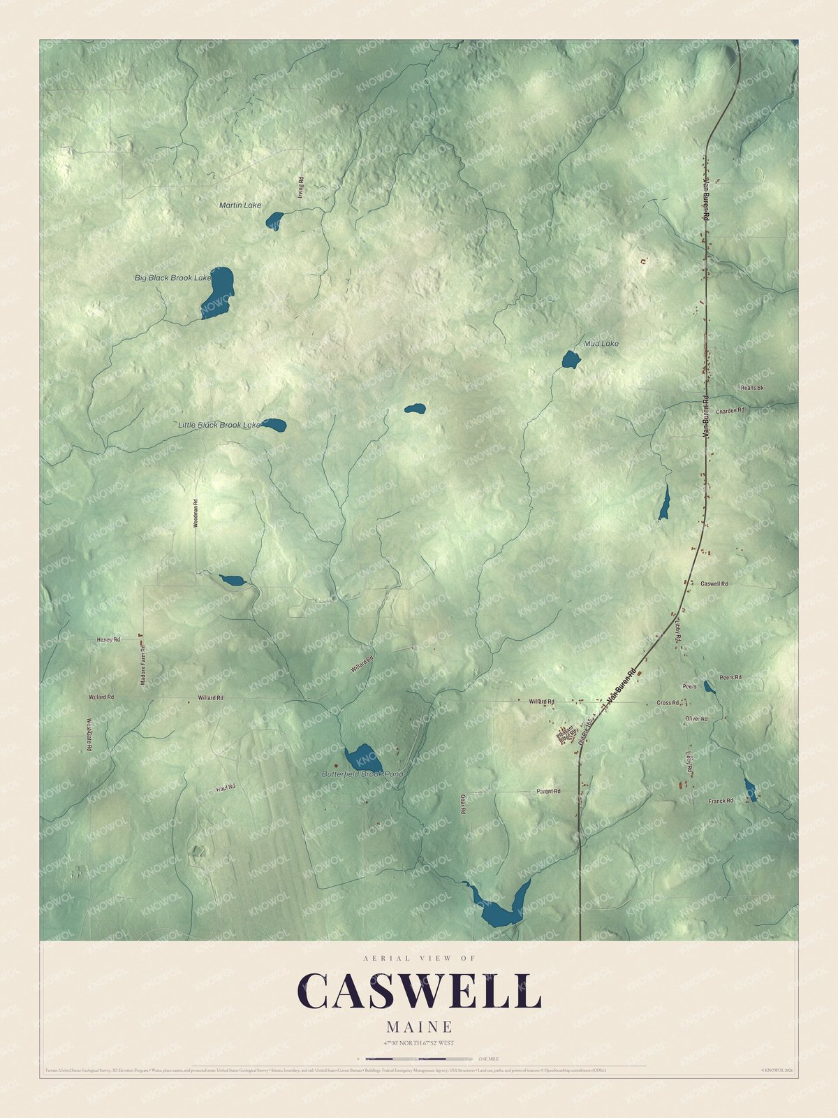
Click to explore a larger preview. The digital watermark does not appear on printed maps.
See it on a wall
The Caswell map as a framed print. Swipe for more.


Van Buren Road is printed on the map, and so are Libby Road, Peers Road, Obar Road, Willard Road and West Gate Road. Big Black Brook Lake and Little Black Brook Lake are printed too, along with Butterfield Brook Pond and Mud Lake.
This Caswell map makes a fine addition to an office, library or den, and it can help teach children the geography and history of the area. It’s made for everyone who calls Caswell home, from Van Buren Road to Big Black Brook Lake, as it looks today. Zoom in on the preview above to explore the details, then click here to get your copy of the Caswell, Maine map.

Sources