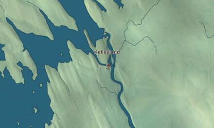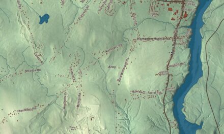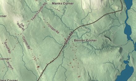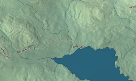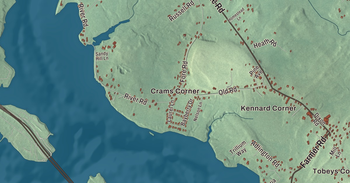
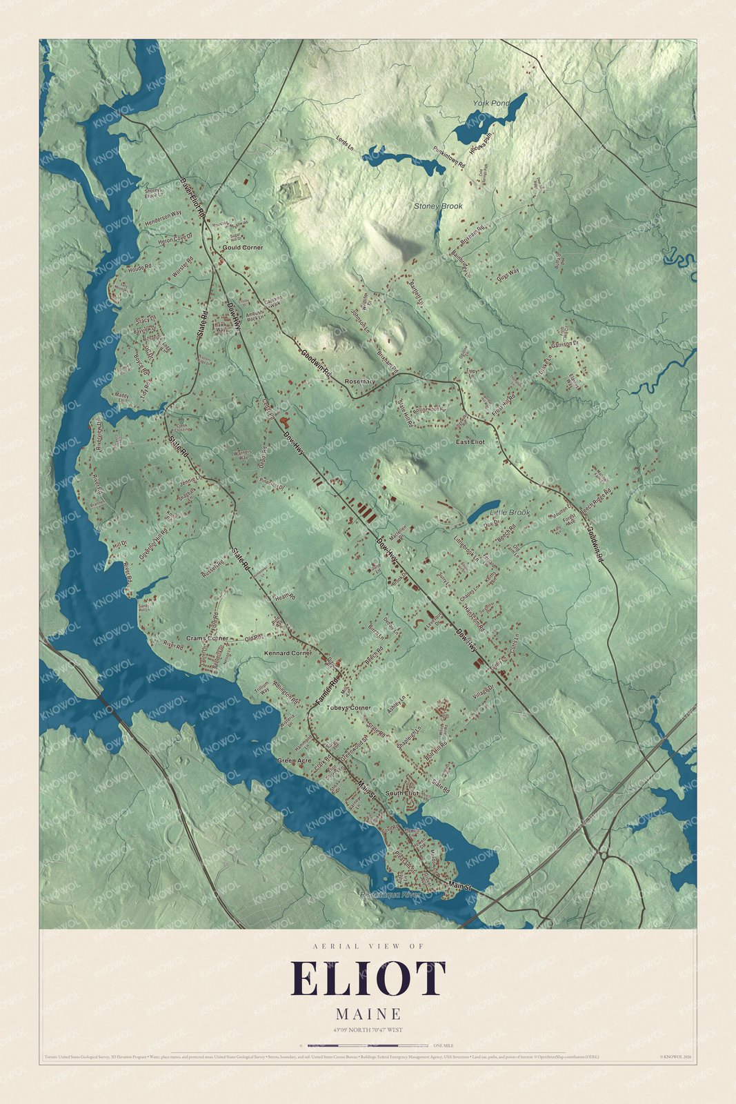
Main Street, State Road and Goodwin Road lead the way on this map of Eliot, Maine, with the Piscataqua River along the town’s edge. Look for Crams Corner and East Eliot, Green Acre and South Eliot, and York Pond and Stoney Brook. Click here to purchase a print of this map for your wall.
Eliot is a town in York County, with 6,717 people at the 2020 census.
KNOWOL made this map in 2026 from public survey data and gave it the look of an old atlas. The Census Bureau measures the town at 21.32 square miles, 1.54 of them water, and its files give the streets and the town line. United States Geological Survey elevation data shades the ground, which has a listed elevation of 7 feet.
Kittery’s Middle Parish
Eliot sits on the Piscataqua River across from Portsmouth and Newington, New Hampshire, and only Kittery lies farther south in Maine. It was once the Middle Parish of Kittery, and it counts its settlement from 1623: settlers came early to this upriver shore for its harbors, timber and shipbuilding, almost a quarter century before Kittery was incorporated in 1647. In 1650, Scottish prisoners from the Battle of Dunbar were resettled in the north of town near the York line, and the area is still called Scotland Bridge. After years of quarrels over ministers and meetinghouses, the parish became its own town on March 1, 1810. It was likely named for the Reverend John Eliot of Boston, a friend of General Andrew P. Fernald, the town agent who did most to bring about the separation.
The Frost family’s garrison houses still stand on Frost’s Hill, off Garrison Drive. Colonel John Frost built his house there in 1733, a small timber garrison two years later and a larger one in 1738 to shelter several families during the years of frontier raids. Their page calls the older one the only known surviving garrison built to defend a single family, and the group the only known set of family-built private garrisons in the United States. The house that stands with them dates to about 1778, and the place is the ancestral home of the poet Robert Frost’s family. Shem Drowne was born near Sturgeon Creek in 1683 and grew up to be a Boston coppersmith; his page calls him America’s first documented weathervane maker, and his gilded grasshopper of 1742 sits atop Faneuil Hall.
Click to explore a larger preview. The digital watermark does not appear on printed maps.
See it on a wall
The Eliot map as a framed print. Swipe for more.


Green Acre
The Farmer family moved to Eliot in the 1880s. Moses Gerrish Farmer was an inventor and electrical pioneer who had spent his early adult years in Eliot, and his wife, Hannah Tobey Farmer, built Rosemary Cottage on Frost Hill as a summer retreat for mothers and children from Boston’s crowded neighborhoods, in memory of a child she had lost. By 1908, 10,316 mothers and children had stayed there. Their daughter, Sarah Jane Farmer, opened the Greenacre Conferences beside the Piscataqua in 1894, summer gatherings for lectures and talks across many faiths. Swami Vivekananda spent nearly two months there that first summer, and in 1912 ʻAbdu’l-Bahá spoke there to an audience of several hundred. Today it’s Green Acre Baháʼí School, one of three leading institutions owned by the national Baháʼí assembly of the United States, and in 1927 it hosted its first Race Amity Convention.
Eliot’s village center runs in a long line, and near its north end, at the corner of Old Road and State Road, the William Fogg Library of 1907 sits on a low hill, a fieldstone building with an Ionic porch, built with a $10,000 bequest from Dr. John Fogg in memory of his father, William, who once ran a lending library from his home. At the corner of Goodwin Road, which is State Route 101, and Depot Road, the Paul Family Farm keeps a Federal farmhouse traditionally dated to 1804 and 1805, its parlor walls stenciled in the 1820s, and the farm was still in the Paul family when it was listed on the National Register in 1998. The Raitt Homestead Farm Museum preserves a 33-acre farm begun in 1896, where Charles A. Raitt made bricks, ran a sawmill and grew apples, and which turned to dairy in the 1930s. John Fremont Hill, born in Eliot in 1855, was Maine’s 45th governor, from 1901 to 1905.
Around Eliot
Dow Highway carries the name of the Harold L. Dow Highway, as State Route 236 is known between Kittery and South Berwick, and the route’s northern section begins at Gould’s Corner, near Routes 103 and 101. Where Eliot, South Berwick and York meet, beside York Pond, a small village called Punkintown once stood. In 1693 Major Charles Frost and James Emery set up a sawmill on Stoney Brook, part of the York River, and in 1995 the town bought part of the old village land, now in the Eliot Town Forest. Main Street, State Road, Goodwin Road and Dow Highway are printed on the map, and so are Farmer Road and Dover Eliot Road. Crams Corner, East Eliot, Gould Corner, Kennard Corner, Green Acre, Rosemary and South Eliot are printed as well, and York Pond, Little Brook, Stoney Brook and the Piscataqua River are labeled on the map. Rosemary shares its name with Hannah Farmer’s cottage. The town’s other streets are drawn in too.
This Eliot map makes a fine addition to an office, library or den, and it can help teach children the geography and history of the area. It’s made for everyone who calls Eliot home, from South Eliot to York Pond, as it looks today. Zoom in on the preview above to explore the details, then click here to get your copy of the Eliot, Maine map.

Sources
- Eliot, Maine, Wikipedia
- Frost Garrison and House, Wikipedia
- Shem Drowne, Wikipedia
- Green Acre Baháʼí School, Wikipedia
- Sarah Jane Farmer, Wikipedia
- Moses G. Farmer, Wikipedia
- Rosemary Cottage, Wikipedia
- William Fogg Library, Wikipedia
- Paul Family Farm, Wikipedia
- Raitt Homestead Farm Museum, Wikipedia
- John Fremont Hill, Wikipedia
- Maine State Route 236, Wikipedia
- Punkintown, Wikipedia