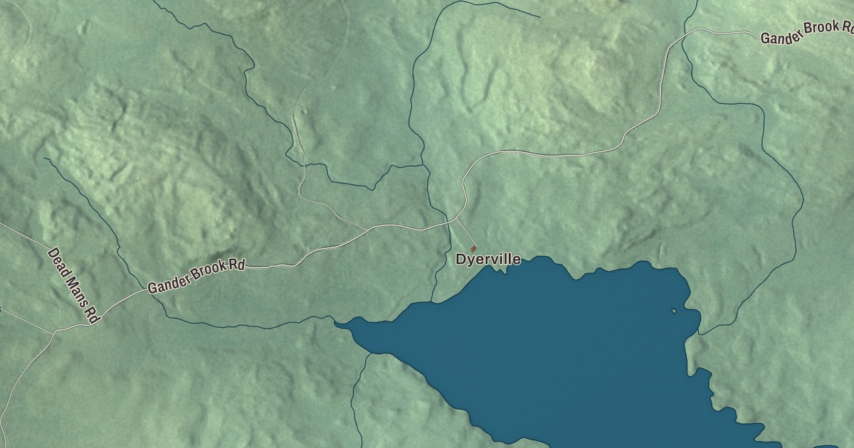
Dyerville and Main Street are the places to find first on this map of Dennistown, Maine. From there, Holeb Road, Gander Brook Road, Sandy Stream Road, Dead Mans Road and Old Canada Road run out past Little Big Wood Pond and Sugar Berth Pond. Click here to purchase a print of this map for your wall.
Dennistown is a plantation in Somerset County, with 61 people at the 2020 census.
KNOWOL made this map in 2026 from public survey data and gave it the look of an old atlas. The Census Bureau measures the plantation at 40.6 square miles, 1.8 of them water, and its files give the roads and the plantation line. United States Geological Survey elevation data shades the ground, and Dennistown has a listed elevation of 1,408 feet.
A small plantation
Dennistown Plantation, Plantation de Dennistown in French, still governs itself as a plantation today. The census found 30 people here in 2000, living in 10 households, and 61 in 2020, about twice as many.
Two names you’ll find here also turn up in the story of the Moose River. The river’s page follows Wood Stream about 11 miles from the Quebec border through a Little Big Wood Pond and on into Big Wood Pond, at the western edge of Jackman. It also traces a Gander Brook, about 4.5 miles long, into the north end of Big Wood Pond. The printed Little Big Wood Pond and Gander Brook Road share those names.
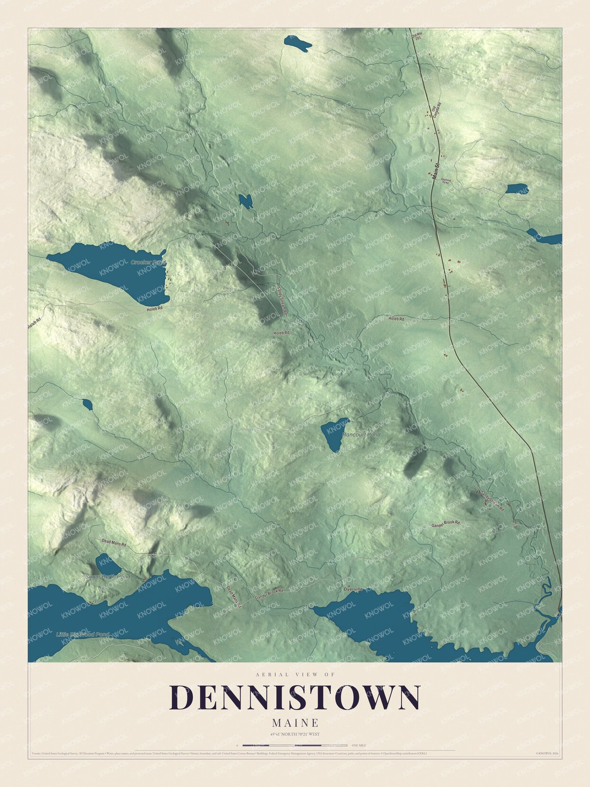
Click to explore a larger preview. The digital watermark does not appear on printed maps.
See it on a wall
The Dennistown map as a framed print. Swipe for more.


Roads and ponds
Dyerville is printed on the map, and so are Main Street, Holeb Road, Gander Brook Road, Sandy Stream Road, Dead Mans Road and Old Canada Road. Little Big Wood Pond, Crocker Pond, Rancourt Pond and Sugar Berth Pond are labeled on the map, and the smaller roads off them are drawn in as well.
This Dennistown map makes a fine addition to an office, library or den, and it can help teach children the geography and history of the area. It’s made for everyone who calls Dennistown home, from Dyerville to Sugar Berth Pond, as it looks today. Zoom in on the preview above to explore the details, then click here to get your copy of the Dennistown, Maine map.

Sources