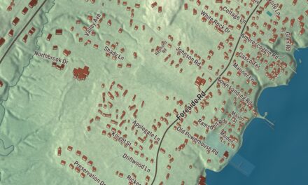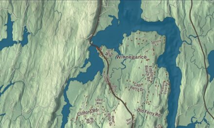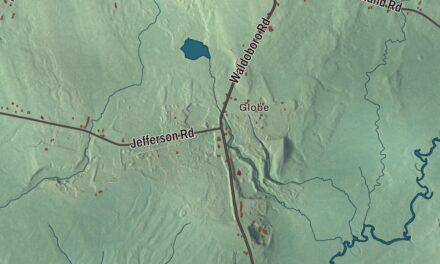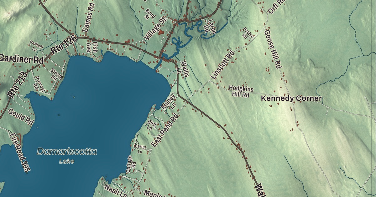
Kennedy Corner and North Jefferson are starting points for exploring Jefferson in this aerial view. Find Augusta Road or South Clary Road, then look over the ponds and buildings around the roads you know. Click here to purchase a print of this map for your wall.
Jefferson is a town in Lincoln County.
KNOWOL made this map in 2026 using public survey records, United States Geological Survey elevation data and Census Bureau files. We arranged Jefferson’s streets, buildings, neighborhoods, ponds and waterways, and terrain, the town boundary and the pattern of buildings with the relief, lettering and layout of an atlas.
A town beside Damariscotta Lake
Jefferson incorporated from Ballstown Plantation in 1807, during Thomas Jefferson’s presidency. Its boundaries changed during the nineteenth century as it gave land to Alna and Newcastle and added land from Patricktown.
The town lies on the Great Bay of Damariscotta Lake and includes Damariscotta Lake State Park. Old granite quarries and clay banks associated with brickmaking remain evidence of earlier local industries.
Estelle Merrill
Estelle Minerva Hatch was born in Jefferson in 1858 and attended the town’s public schools. After graduating from Wheaton Seminary, she returned to teach here before moving to Massachusetts.
As Estelle M. H. Merrill, she wrote for Boston newspapers, sometimes using the name Jean Kincaid. She edited the New England Kitchen Magazine and helped establish the New England Woman’s Press Association, later serving as its president.
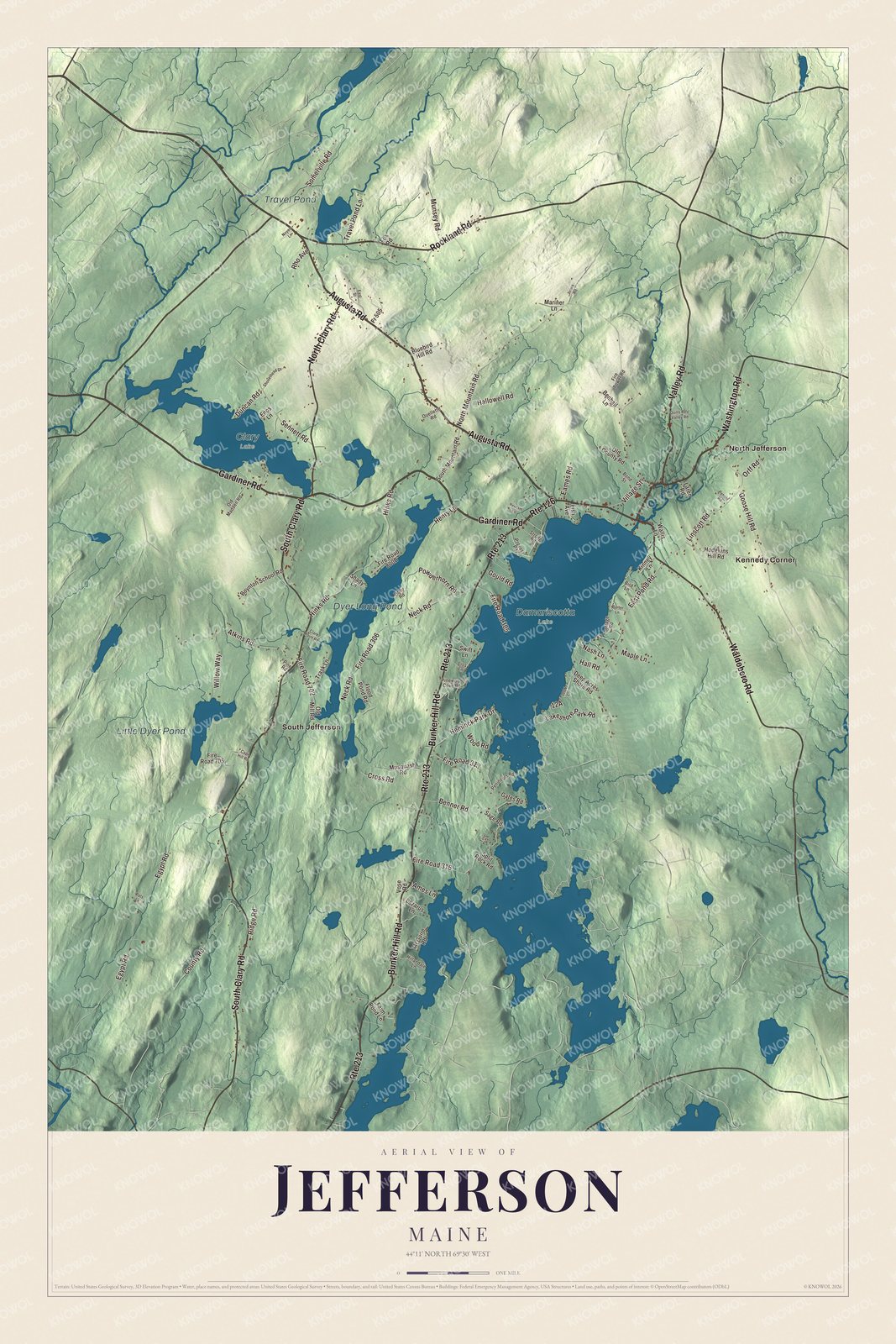
Click to explore a larger preview. The digital watermark does not appear on printed maps.
See it on a wall
The Jefferson map as a framed print. Swipe for more.


Explore the Jefferson map
Kennedy Corner, North Jefferson and South Jefferson are printed names on the map. Dyer Long Pond, Little Dyer Pond and Travel Pond are labeled too.
Augusta Road, Gardiner Road and South Clary Road give you roads to follow in the preview. Waldoboro Road, Rockland Road and Washington Road are printed as well.
This map shows Jefferson as it looks today, made for people who call Jefferson home. Hang it in your office, library, or den, or use it to teach children the geography and history of the area. Zoom in on the preview above to explore the details, then click here to get your copy of the Jefferson, Maine map.

Sources