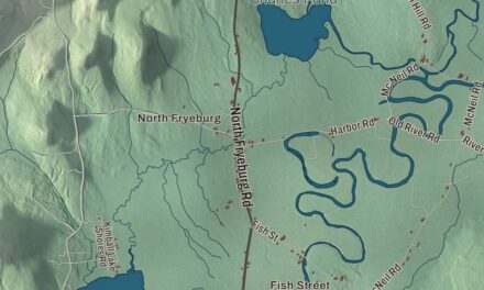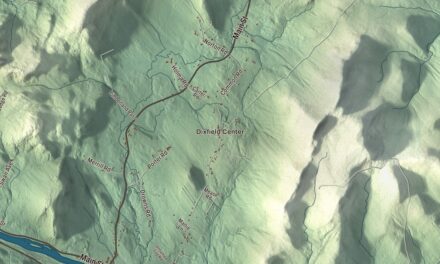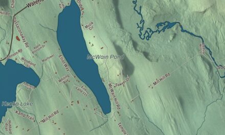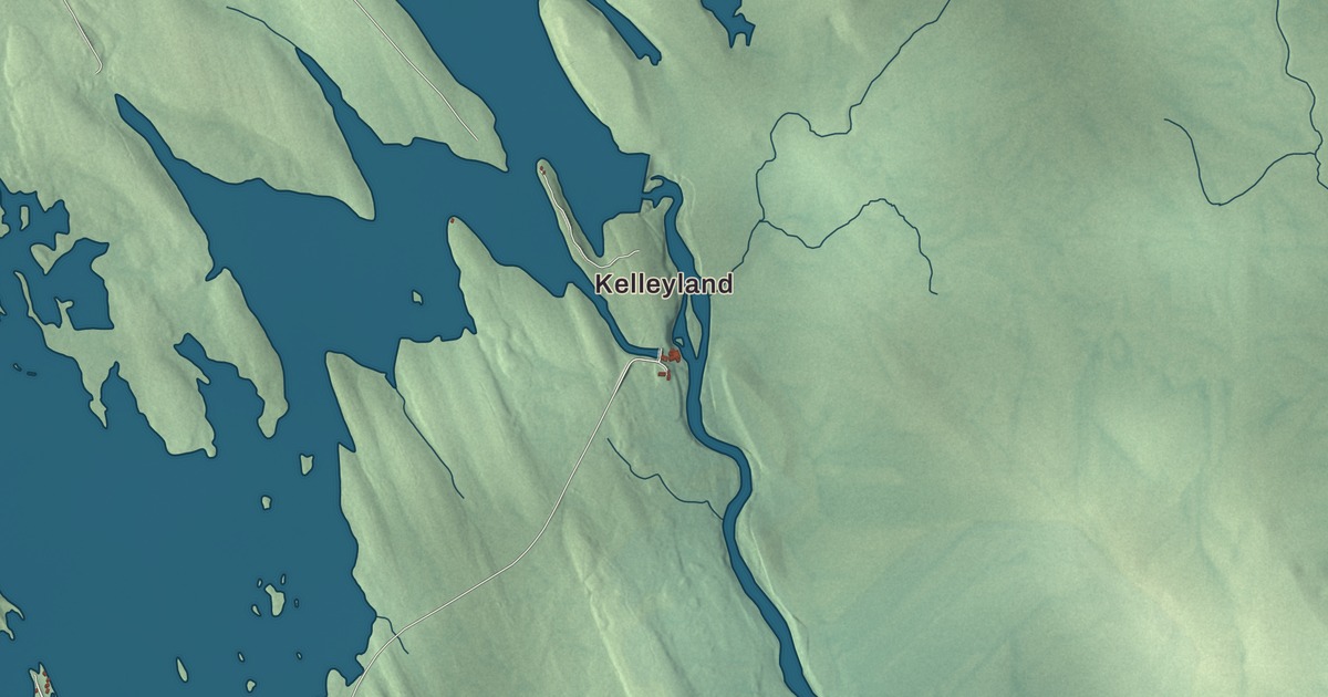
For most of the 20th century Baileyville was called by the name of its mill village, Woodland, and this map has room for both. It prints Woodland and Woodland Junction, Kelleyland and Lamb Place, the roads between them, Airline Road, Houlton Road, Lamb Farm Road, Grand Falls Road, Hillside Street and Kellyland Road, and two lakes, Ryan Lake and Big Lake. Click here to purchase a print of this map for your wall.
Baileyville is in Washington County, and it had 1,318 people at the 2020 census.
KNOWOL made this map in 2026 from public survey data and gave it the look of an old atlas. The shaded terrain comes from United States Geological Survey elevation data, and the roads and the town line come from the Census Bureau, which counts 41.91 square miles here, 37.15 of them land and 4.76 water.
Quakers, oilcloth and a family name
Quakers settled the town in 1780, and it was incorporated in 1828. Two years later Ezekiel Bailey began making oilcloth here for sale. The business did well and grew until it filled several factories, which stood until they burned in 1921.
The village of Sprague’s Falls, which the Postmaster General renamed Woodland in 1906, was the post office address for the whole town, and so Baileyville was routinely called Woodland. Maine allows no two towns the same name, though, and there was another Woodland in Aroostook County. In the late 1990s the two came before the Maine Supreme Judicial Court, which let the Aroostook town keep the name, since it had been founded as a township first, and ordered this one to use its incorporated name, Baileyville. Woodland lives on as the census name of the village. In 1950 the village voted to stay on daylight saving time into the fall so hunters would have an extra hour of light after work, and people here called it “Deerlight Saving Time.”
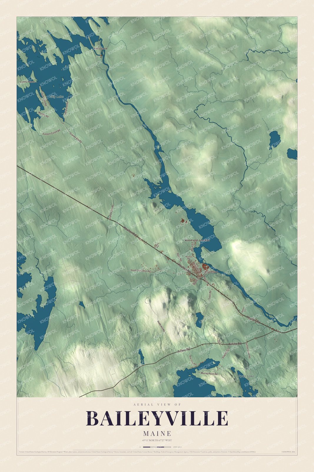
Click to explore a larger preview. The digital watermark does not appear on printed maps.
See it on a wall
The Baileyville map as a framed print. Swipe for more.


The mill on the St. Croix
Woodland is printed on the map. Its sawmills and paper mills ran on water power and on logs and pulpwood floated down the Saint Croix River, and the Maine Central Railroad tied them to the rest of the country. Under Georgia-Pacific, the mills shipped or received more than 6,000 railroad carloads in 1973. Woodland Junction is printed too. There the rail line comes back across the St. Croix from New Brunswick on the Sprague Falls Railroad Bridge, and a spur runs a mile south to the Woodland Pulp mill. Since 2012 the mill’s own railroad, Woodland Rail, has owned the 11.83-mile line down the valley to Calais, which crosses the border three times on the way.
Big Lake is printed as well. Its page places it in and around Grand Lake Stream near the New Brunswick border, counts it the second largest lake in Washington County at 10,444 acres, and says it’s known for smallmouth bass. Airline Road shares its name with the Airline, the old Bangor to Calais stretch of State Route 9, and the Route 9 Committee, which has worked to improve the road, is a partnership of officials and businesses from the Baileyville and Calais area. Kelleyland and Kellyland Road, Lamb Place and Lamb Farm Road, Houlton Road, Grand Falls Road, Hillside Street and Ryan Lake are printed too.
The town’s high school is Woodland Jr./Sr. High School, about 250 students in grades 7 through 12, home of the Dragons in purple and gold. It also takes students from Baring Plantation next door.
This Baileyville map makes a handsome addition to an office, library or den, and it can teach children the geography and history of a mill town on the St. Croix. It’s made for anyone who calls Baileyville home, from Kelleyland to Big Lake, as it looks today. Zoom in on the preview above to explore the details, then click here to get your copy of the Baileyville, Maine map.

Sources