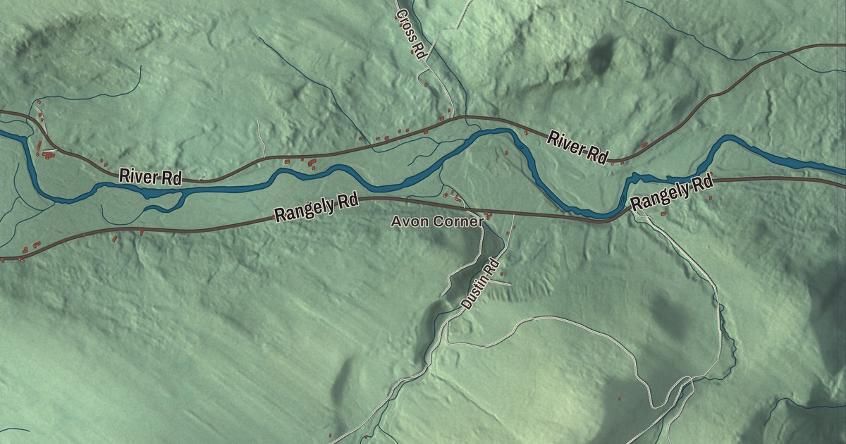
The Sandy River drains Avon, and Mount Blue rises in the southwest corner of the town. This map prints Avon Corner and the town’s roads, River Road, Rangely Road, Bob Oberton Road, Savage Road, Mile Square Road and Mount Blue Pond Road, with Mount Blue Pond and Day Mountain Pond. Click here to purchase a print of this map for your wall.
Avon is in Franklin County, and it had 450 people at the 2020 census.
KNOWOL made this map in 2026 from public survey data and gave it the look of an old atlas. The shaded terrain comes from United States Geological Survey elevation data, and the roads and the town line come from the Census Bureau, which counts 41.65 square miles here, 41.39 of them land. State routes 4 and 149 cross the town, one on each side of the Sandy River, a tributary of the Kennebec. Phillips is to the north, Strong to the east, Weld to the west and Temple to the south.
Two sea captains on the Sandy River
The township was first known as Township 2 Abbott’s Purchase, or Upper Town. In 1781 two sea captains settled it: Joshua Soule, from Duxbury, Massachusetts and later Bremen, Maine, and Perkins Allen, from Martha’s Vineyard. The town was incorporated on February 22, 1802, and named for the River Avon in England. The town page notes that one of the Worcestershire villages on that river is Eckington, birthplace of the captain’s ancestor George Soule, who came over on the Mayflower.
The captain’s son, also Joshua Soule, was born in 1781 and brought to Avon that autumn as a baby. Though his parents were strict Presbyterians, he joined the Methodists in 1797, became known as the “Boy Preacher,” and at 23 was a presiding elder in charge of the whole state of Maine. Bishop DuBose’s life of Soule calls him the man who, at 27, wrote the Constitution of Methodism. He was elected a bishop in 1824. Another son of Avon, Daniel Robbins Sylvester, born here in 1825, settled in Wisconsin, served as a Union captain at the Siege of Vicksburg and sat in the Wisconsin State Assembly.
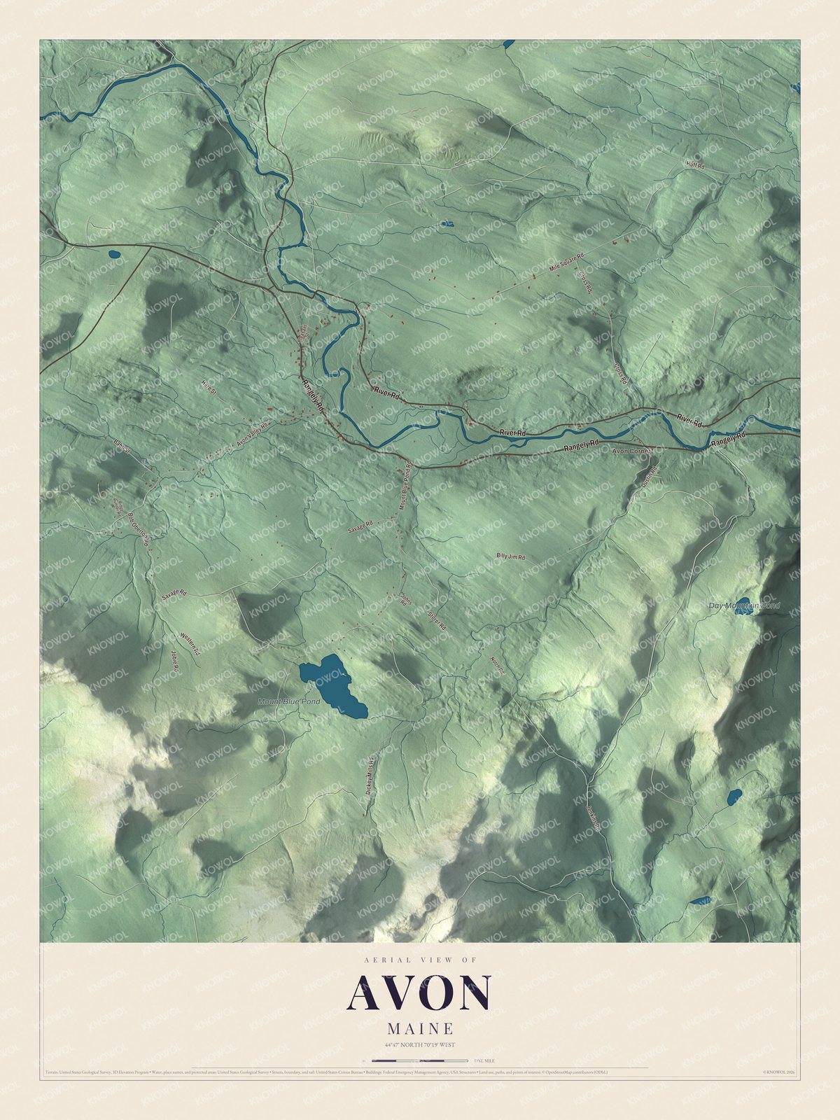
Click to explore a larger preview. The digital watermark does not appear on printed maps.
See it on a wall
The Avon map as a framed print. Swipe for more.


Wheat, mills and the narrow gauge
The soil on both sides of the Sandy River grew grain, fruit and vegetables. In 1837, when 767 people lived here, the town raised 3,220 bushels of wheat, and by 1875 two sawmills ran on a small stream. The town’s one village grew up in the east, where some trade was done. In 1879 the Sandy River Railroad opened, carrying freight and tourists between Farmington, Avon, Strong and Phillips on two-foot narrow gauge track. It became part of the Sandy River and Rangeley Lakes Railroad in 1908 and ran until 1935. Some of its old equipment still runs on a short revived stretch of the line in Phillips.
River Road is printed on the map. State Route 149 follows it into Avon, running closer to the Sandy River here, past small farms along the riverbed and below wooded bluffs. Mount Blue Pond and Mount Blue Pond Road are printed too. The pond is a 134-acre lake about three miles north of Mount Blue, open to the public, and its page says the fishing is good. The summit of Mount Blue and much of its trail are in Avon. A steep, rocky trail climbs 1.6 miles to a communications tower at the top, where you can climb to an observation deck and on a clear day see Mount Washington in New Hampshire and Sugarloaf to the north. The mountain and its trail belong to Mount Blue State Park, which workers with the Works Progress Administration began to develop in the 1930s.
This Avon map makes a handsome addition to an office, library or den, and it can teach children the geography and history of a river town under a mountain. It’s made for anyone who calls Avon home, from Avon Corner to Day Mountain Pond, as it looks today. Zoom in on the preview above to explore the details, then click here to get your copy of the Avon, Maine map.

Sources