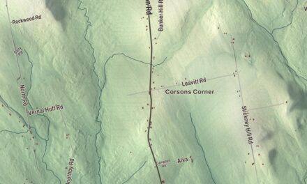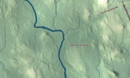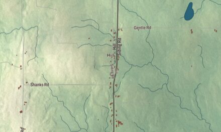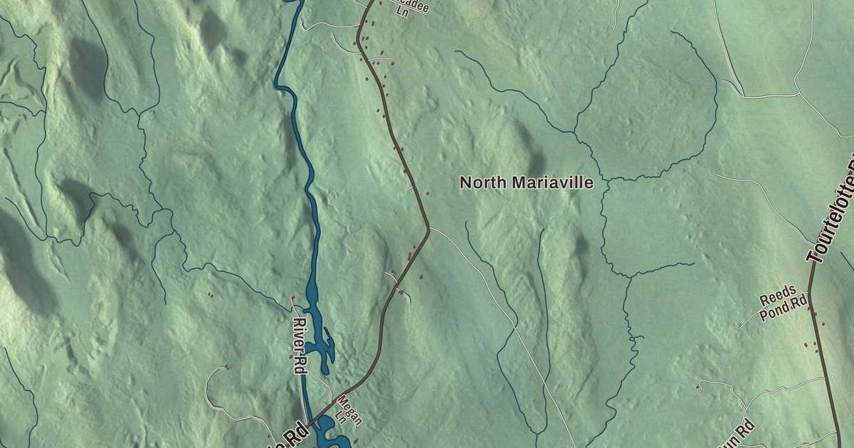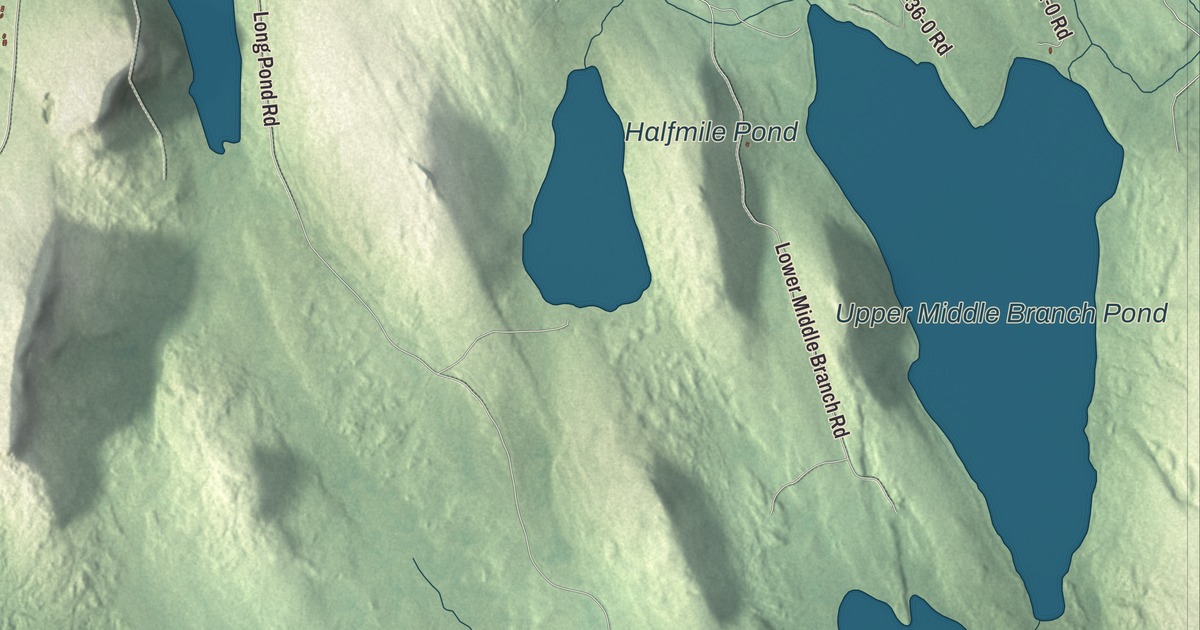
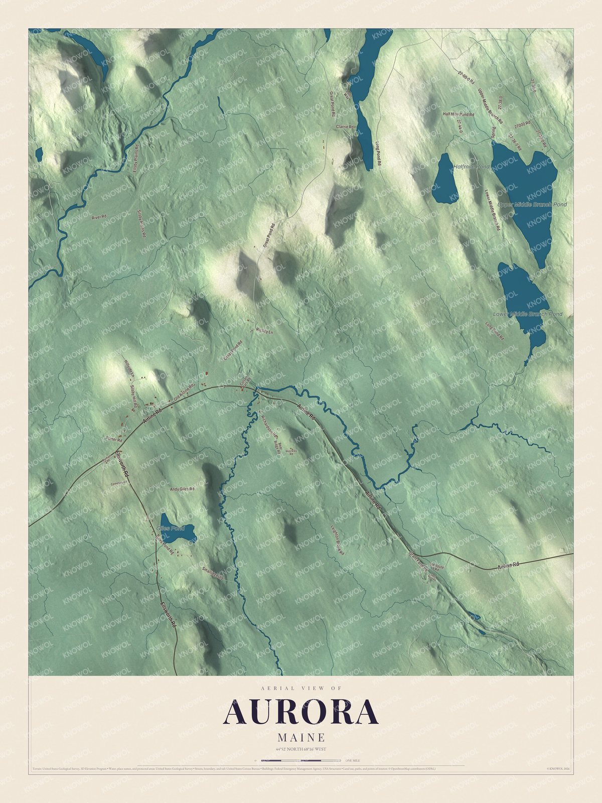
Aurora is a small Hancock County town on the Airline, the old road from Bangor to Calais. This map prints Airline Road with Ellsworth Road, Long Pond Road, Great Pond Road, Silsby Plains Road and Lower Middle Branch Road, and four ponds: Upper Middle Branch Pond, Lower Middle Branch Pond, Halfmile Pond and Giles Pond. Click here to purchase a print of this map for your wall.
Aurora is in Hancock County, and it had 93 people at the 2020 census.
KNOWOL made this map in 2026 from public survey data and gave it the look of an old atlas. The shaded terrain comes from United States Geological Survey elevation data, and the roads and the town line come from the Census Bureau, which counts 39.25 square miles here, 37.66 of them land and 1.59 water.
A town named for the dawn
Aurora was incorporated in 1831 as the town of Hampton, and in 1833 it took the name Aurora, for the goddess of dawn. Its first settler was Samuel Silsby, and the Silsby name has stayed with the town. William S. Silsby of Aurora was speaker of the Maine House of Representatives in 1951 and 1952, and his father, his grandfather and his great-grandfather had all represented Aurora in the House before him. Silsby Plains Road is printed on the map and carries the family name.
Airline Road is printed too. It’s State Route 9, and the stretch from Bangor to Calais has long been called the Airline. Its page says many people think the name came from its being a shortcut next to the older U.S. Route 1, but that the term goes back to the early 1850s, as a contrast with the shore route. The last stretch of the Airline was paved in 1973, in Crawford, and old sections of the road can still be seen beside the present one.
Click to explore a larger preview. The digital watermark does not appear on printed maps.
See it on a wall
The Aurora map as a framed print. Swipe for more.


The Brick School House
The town had its first schoolhouse by 1820, and in 1827 it voted to build a new one of brick. That was unusual in a timber town where wood was everywhere, and the school’s page says the push for brick is believed to have come from Samuel Silsby, who had gone to a brick schoolhouse in Connecticut. The Brick School House is a one-story square building with a hip roof on a granite foundation, and its board-and-batten door is believed to be the original. Its page says it was well ahead of its time, better than the standards the state set twenty years later. It taught children until 1918, served as the town hall too, and was rehabilitated in the 1950s. In 1982 the town meeting voted to seek a grant to repair it, with $750 of the town’s own money, so it could become a public library. Both pages call it the oldest standing public brick building in Hancock County, and it has been on the National Register of Historic Places since 1980.
The school stands on the east side of State Route 179, about a quarter mile south of Airline Road. Route 179 comes 22 miles up from Ellsworth, passes west of Giles Pond and ends at Airline Road in Aurora. The Airline Community School, from preschool through eighth grade, serves Aurora along with Great Pond, Osborn and Amherst.
This Aurora map makes a handsome addition to an office, library or den, and it can teach children the geography and history of a small town with an old brick school. It’s made for anyone who calls Aurora home, from Giles Pond to the Middle Branch ponds, as it looks today. Zoom in on the preview above to explore the details, then click here to get your copy of the Aurora, Maine map.

Sources
- Aurora, Maine, Wikipedia
- Brick School House, Wikipedia
- William S. Silsby, Wikipedia
- Maine State Route 9, Wikipedia
- Maine State Route 179, Wikipedia
- List of municipalities in Maine, Wikipedia
- Maine Private and Special Laws 1831, chapter 127
- An Act to change the name of the town of Hampton, Maine Private and Special Laws 1833, chapter 302
- Maine Private and Special Laws 1831, chapter 127
- An Act to change the name of the town of Hampton, Maine Private and Special Laws 1833, chapter 302