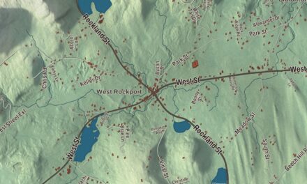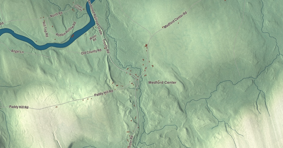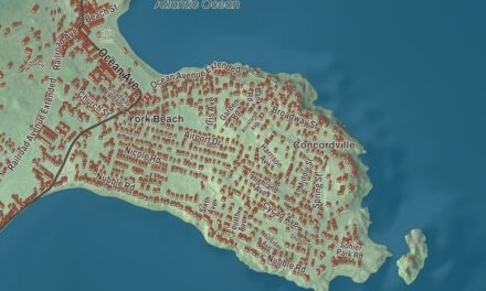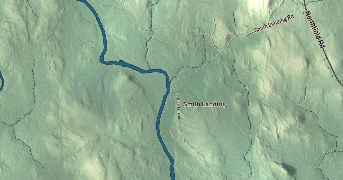
Bog Lake Road, Two Lakes Drive and Northfield Road lead across this map of Northfield, a Washington County town of lakes and woods north of Machias. Click here to purchase a print of this map for your wall.
Northfield is a town in Washington County.
KNOWOL made this map in 2026 from public survey records, United States Geological Survey elevation data and Census Bureau files. Its atlas layout brings together Northfield’s roads, buildings, ponds and waterways, and terrain, the town boundary and the pattern of buildings.
Township No. 24
Northfield began as Township No. 24 of Bingham’s Penobscot Purchase, and it was incorporated on March 21, 1838. An 1886 gazetteer placed it a few miles southwest of the center of Washington County, about 10 miles north of Machias. The Machias River ran through the southwestern part of town, picking up Old and New streams and Bog Brook, and the stage road from Machias to Calais ran north across the eastern part of town. The main settlements lay along that road in the southern part of town.
The same gazetteer described ground broken by ledges and hills, with Harmon’s Pinnacle rising to 500 feet and Elwell’s Mountain to 350. Families grew hay, oats, wheat and potatoes, and rock maple, beech, juniper and pine still filled the woods. Holmes’ Falls on the Machias River and the falls on Bog Brook gave water power, and a mill on Bog Brook sawed boards, laths and shingles. The town sent 22 men into the Union army, kept a neighborhood library of 117 volumes, and had three schoolhouses.
Northfield counted 190 people in 1870 and 161 in 1880. The 2020 census counted 178. The town covers 45.84 square miles, of which 2.26 square miles is water.
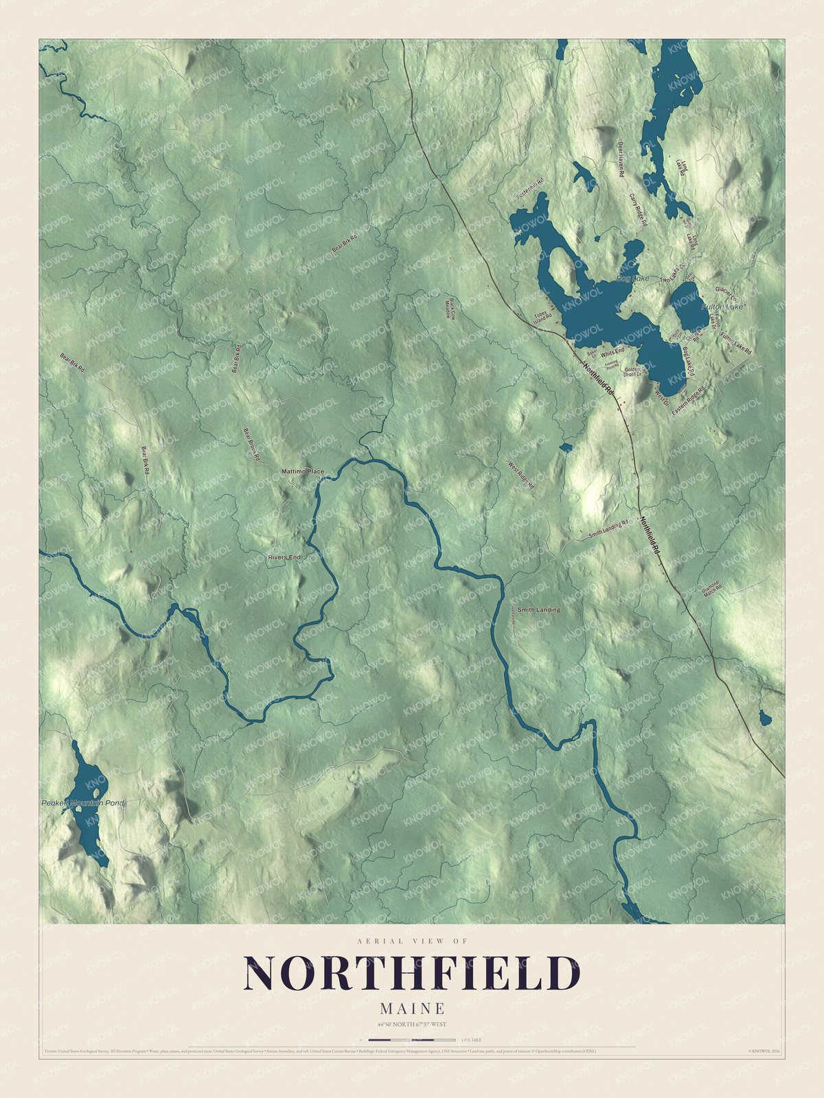
Click to explore a larger preview. The digital watermark does not appear on printed maps.
See it on a wall
The Northfield map as a framed print. Swipe for more.


Explore the Northfield map
Start with Smith Landing, then follow Northfield Road, Bear Brk Road, Eastern Ridge Road, Carry Ridge Road, Bog Lake Road and Two Lakes Drive across town. Those names are printed on the artwork. Then look outward toward Rivers End and Mattimo Place.
Bog Lake, Peaked Mountain Pond and Fulton Lake are labeled as well. Follow the roads out to the lakes and ponds, and compare the scattered houses with the long stretches of woods between them.
For people who call Northfield home, this map shows the town as it looks today. Put it in your office, library, or den, or use it to teach children the geography and history of the area. Zoom in on the preview above to explore the details, then click here to get your copy of the Northfield, Maine map.

Sources