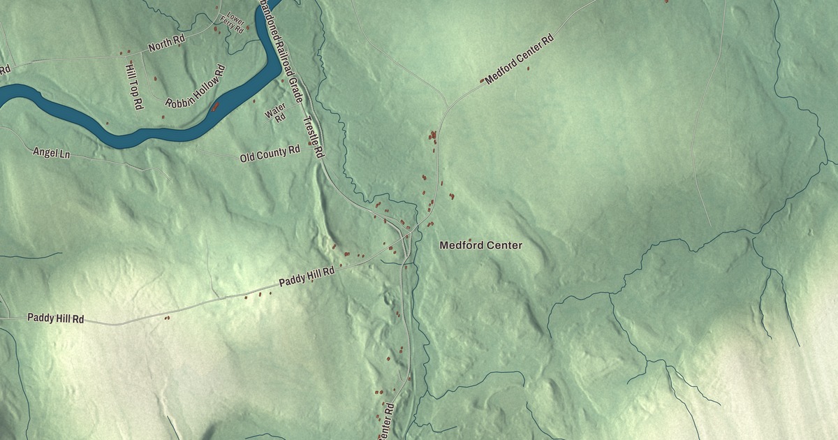
Medford Center and the Piscataquis River are the natural place to begin on this map, with Medford Road and Paddy Hill Road leading out from them. Click here to purchase a print of this map for your wall.
Medford is a town in Piscataquis County.
KNOWOL made this map in 2026 from public survey records, United States Geological Survey elevation data and Census Bureau files. Its atlas layout brings together Medford’s roads, buildings, ponds and waterways, and terrain, the town boundary and the pattern of buildings.
Kilmarnock on the Piscataquis
James Grover became the first white settler in what’s now Medford in 1808. In 1820 the state opened a road from the Piscataquis River that helped increase settlement, and that same year John Parker Boyd, who owned the eastern half of the town, built a combined sawmill and shingle mill on the river.
The town incorporated in 1824 as Kilmarnock, the name Boyd chose. A fire in 1825 burned over three-quarters of its buildings and the pine stand that supplied the mill, and although the mill survived, it later closed for lack of wood.
Residents petitioned to change the name to Medford in 1856. The town gave up its charter in 1940, organized as a plantation in 1942 and became a town again in 1967.
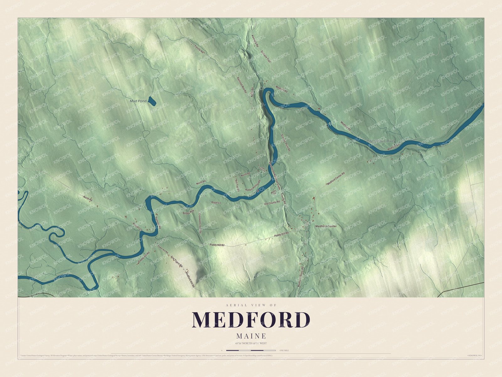
Click to explore a larger preview. The digital watermark does not appear on printed maps.
Names on this map
These names are printed on this map.
Places: Medford Center, Mud Pond and Piscataquis River.
Streets and roads: Paddy Hill Road, Medford Center Road, Trestle Road, North Road, Abandoned Railroad Grade, Medford Road, Railroad Bed Road, Scoodic Point Road, Kennedy Road, Scutaze Trail, Fire Tower Road, Medford Hill Road.
More street names, A to Z
Angel Lane, Bobby Way, Crooked Creek Road, Hathorn Road, Hill Top Road, Lower Ferry Road, Old County Road, Robbin Hollow Road, Russell Lane, Tower Hill Road, Water Road.
See it on a wall
The Medford map as a framed print. Swipe for more.


Explore the Medford map
Start with Medford Center. Paddy Hill Road, Medford Center Road, Trestle Road, North Road, Medford Road and Railroad Bed Road are printed names to follow across town.
Mud Pond and the Piscataquis River are labeled too. Follow the river and compare the open land along its banks with the woods and hills farther out.
For people who call Medford home, this map shows the town as it looks today. Put it in your office, library, or den, or use it to teach children the geography and history of the area. Zoom in on the preview above to explore the details, then click here to get your copy of the Medford, Maine map.

Sources