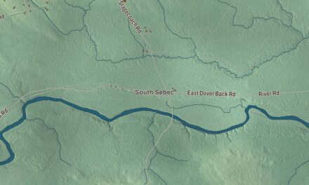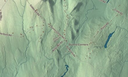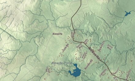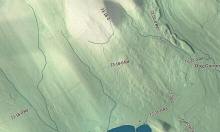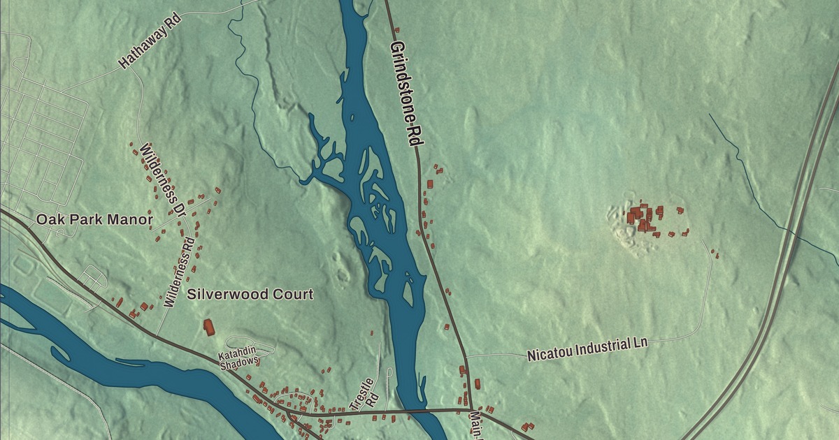
Main Street, Medway Road and Grindstone Road run through the parts of Medway people know, and this map traces them across town. Click here to purchase a print of this map for your wall.
Medway is a town in Penobscot County.
KNOWOL made this map in 2026 from public survey records, United States Geological Survey elevation data and Census Bureau files. Its atlas layout brings together Medway’s roads, buildings, ponds and waterways, and terrain, the town boundary and the pattern of buildings.
Mills at the forks of the Penobscot
Medway sits where the East and West Branches of the Penobscot River come together. In 1820 General Boyd, who owned half the township, built one of the largest water-powered sawmills then on the Penobscot here. A second large mill soon followed near what’s now Medway Center and drew settlers, and sawmills remained there as late as the 1920s. The National Register history of the town’s old church says Medway was settled by 1820 and incorporated in 1875.
A church on Church Street
Benjamin Fiske, who kept a local hotel and was active in town affairs, paid for the Congregational Church of Medway, built in 1874 by local builder Mansford Cushman. It stands on Church Street a short way north of Main Street, beside a cemetery, and Fiske’s deed set it aside for use as a church and school. In the 20th century his descendants leased it to the local Grange, and it’s listed on the National Register of Historic Places.
Mike Michaud grew up in Medway. He worked at Great Northern Paper’s East Millinocket mill from 1973 until he was elected to Congress in 2002.
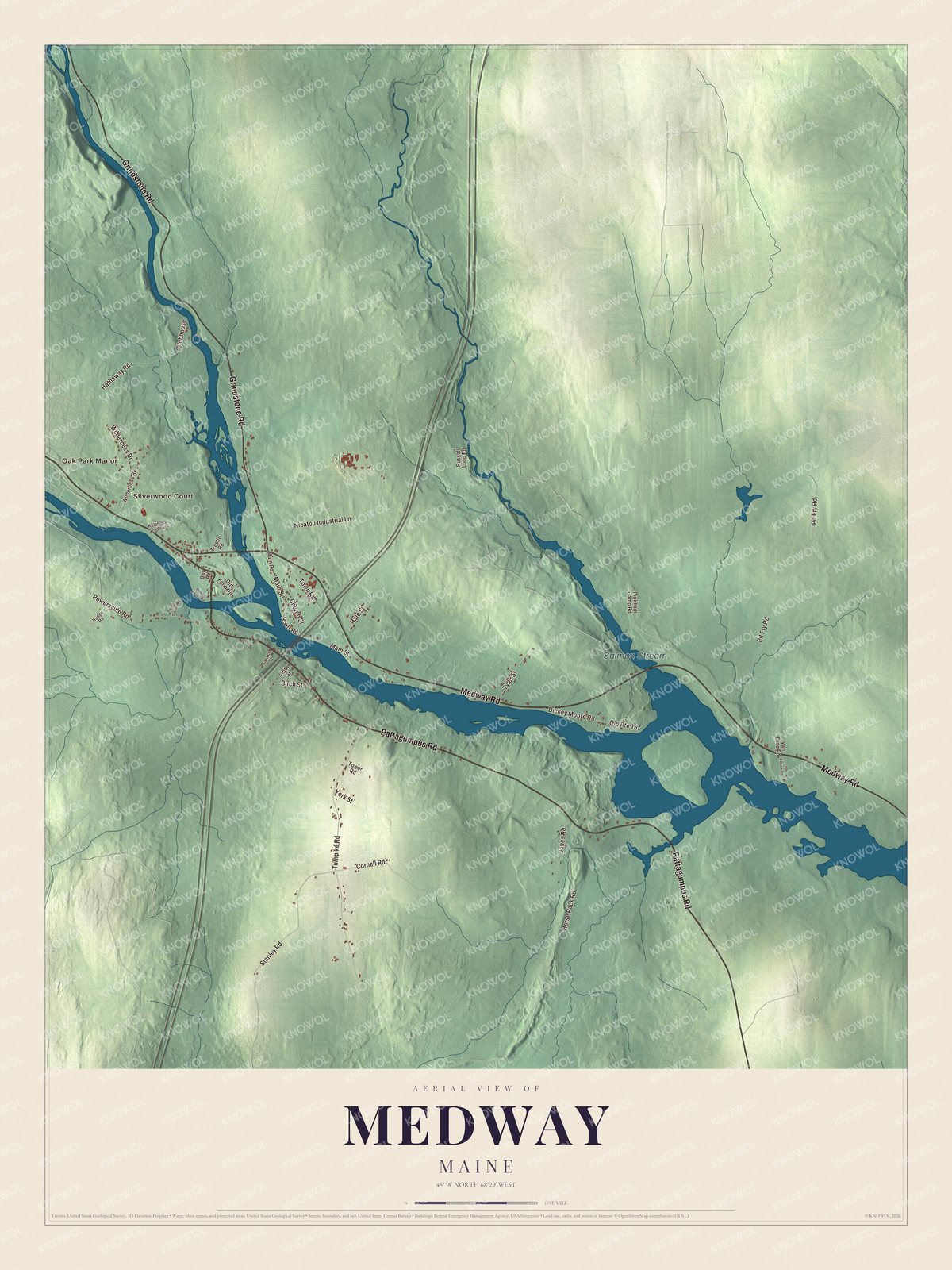
Click to explore a larger preview. The digital watermark does not appear on printed maps.
See it on a wall
The Medway map as a framed print. Swipe for more.


Explore the Medway map
Start with Oak Park Manor, then follow Medway Road, Pattagumpus Road, Grindstone Road, Main Street, Horse Pack Road and Stanley Road across town. Those are printed road names, and Silverwood Court is another to look for.
Salmon Stream is labeled on the map. Follow the waterways and compare the village roads with the long stretches of woods beyond them.
For people who call Medway home, this map shows the town as it looks today. Put it in your office, library, or den, or use it to teach children the geography and history of the area. Zoom in on the preview above to explore the details, then click here to get your copy of the Medway, Maine map.

Sources