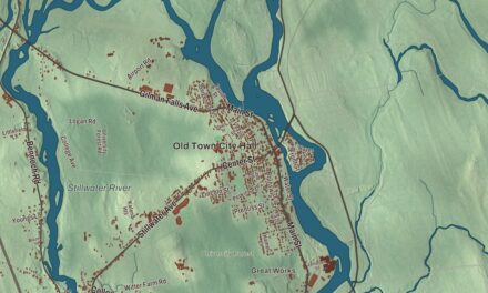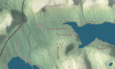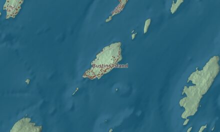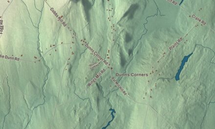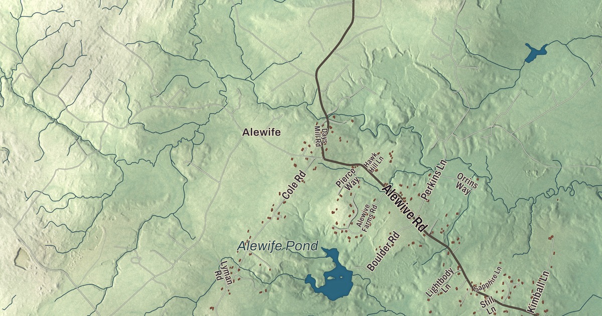
Summer Street and the Mousam River offer a starting point for this Kennebunk map. Look for Alewife and Bartlett Mills, then explore the neighborhoods and coastline in the aerial view. Click here to purchase a print of this map for your wall.
Kennebunk is a town in York County.
KNOWOL made this map in 2026 using public survey records, United States Geological Survey elevation data and Census Bureau files. We arranged Kennebunk’s streets, buildings, neighborhoods, coastline, ponds and waterways, and terrain, the town boundary and the pattern of buildings with the relief, lettering and layout of an atlas.
Mills and shipbuilders
Kennebunk became a separate town in 1820. Shipbuilding and shipping were part of its earlier economy, and manufacturers used the Mousam River for mill power.
Summer Street has a National Register historic district, with homes from the town’s shipbuilding era. The Wedding Cake House is a Federal-style house decorated with Gothic woodwork added by George Washington Bourne.
The Brick Store Museum
William Lord built his brick general store in 1825. His great-granddaughter Edith Cleaves Barry inherited the building and established the Brick Store Museum there in 1936.
Barry added neighboring buildings as they became available, joining them inside to form a museum complex. Its collections include shipbuilding tools, clothing, photographs, letters and maps documenting life in the Kennebunks.
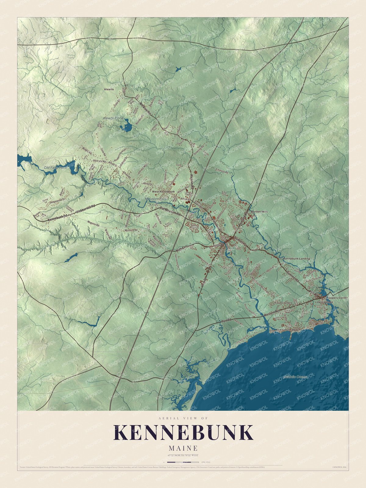
Click to explore a larger preview. The digital watermark does not appear on printed maps.
See it on a wall
The Kennebunk map as a framed print. Swipe for more.


Explore the Kennebunk map
Alewife, Bartlett Mills, Coopers Corner and Four Corners are printed on the map. Kennebunk Beach, Kennebunk Landing and Lower Village are other place names to find.
Summer Street, High Street, York Street, Fletcher Street, Kennebunk Road and Webber Hill Road are printed road names. Old Falls Pond, Alewife Pond, Mousam River and Atlantic Ocean are labeled as well.
This map shows Kennebunk as it looks today, made for people who call Kennebunk home. Hang it in your office, library, or den, or use it to teach children the geography and history of the area. Zoom in on the preview above to explore the details, then click here to get your copy of the Kennebunk, Maine map.

Sources